Downtown in St. Louis, Missouri — The American Midwest (Upper Plains)
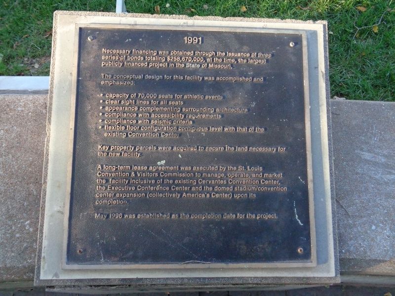
1991
Necessary financing was obtained through the issuance of three series of bonds totaling $258,670,000, at the time, the largest publicly financed project in the State of Missouri.
The conceptual design for this facility was accomplished and emphasized:
• capacity of 70,000 seats for athletic events
• clear sight lines for all seats
• appearance complementing surrounding architecture
• compliance with accessibility requirements
• compliance with seismic criteria
• flexible floor configuration contiguous level with that of the existing Convention Center
Key property parcels were acquired to secure the land necessary for the new facility.
A long-term lease agreement was executed by the St. Louis Convention & Visitors Commission to manage, operate, and market the facility inclusive of the existing Cervantes Convention Center, the Executive Conference Center and the domed stadium/convention center expansion (collectively America's Center) upon its completion.
May 1996 was established as the completion date for the project.
Erected by The St. Louis Regional Convention and Sports Complex Authority.
Topics. This historical marker is listed in these topic lists: Industry & Commerce • Sports. A significant historical year for this entry is 1991.
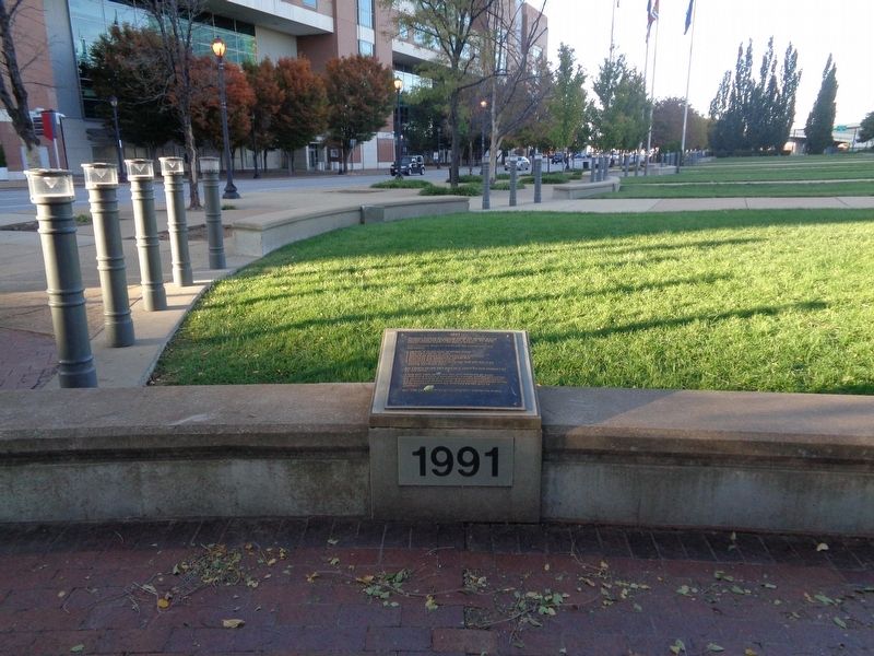
Location. 38° 37.909′ N, 90° 11.234′ W. Marker is in St. Louis, Missouri. It is in Downtown. Marker is at the intersection of North Broadway and Convention Plaza, on the left when traveling south on North Broadway. Marker is located at Baer Plaza, next to the entrance of Lumiere Place casino (or what is known as the LumiereLink). It is east of The Dome at America's Center (formerly known as the Edward Jones Dome). Touch for map. Marker is at or near this postal address: 801 North 4th Street, Saint Louis MO 63102, United States of America. Touch for directions.
Other nearby markers. At least 8 other markers are within walking distance of this marker. 1990 (here, next to this marker); 1992 (a few steps from this marker); 1993 (a few steps from this marker); Robert J. Baer Plaza (within shouting distance of this marker); 1994 (within shouting distance of this marker); 1995 (within shouting distance of this marker); 1996 (within shouting distance of this marker); 1997 (within shouting distance of this marker). Touch for a list and map of all markers in St. Louis.
More about this marker. This is one of 9 markers located at Baer Plaza, which tell the story of the beginnings of America's Center and the Dome in chronological order.
Credits. This page was last revised on January 30, 2023. It was originally submitted on November 1, 2019, by Jason Voigt of Glen Carbon, Illinois. This page has been viewed 260 times since then and 10 times this year. Photos: 1, 2. submitted on November 1, 2019, by Jason Voigt of Glen Carbon, Illinois. • Devry Becker Jones was the editor who published this page.

