South Oklahoma
Oklahoma City April 23-27, 1889
— The ‘89er Trail —
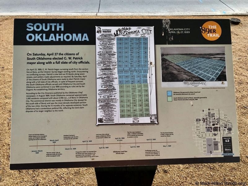
On Saturday, April 27 the citizens of South Oklahoma elected G. W. Patrick mayor along with a full slate of city officials.
On April 23, 1889, G. W. Patrick began surveying south from the section line at Reno, as the Citizens' Survey began working north. Encountering no conflicting surveys, Patrick's crew laid out 35 blocks along seven streets, and settlers made adjustments as required. By Saturday, April 27 the citizens of South Oklahoma were ready to elect Patrick mayor along with a full slate of city officials. In spite of frequent turnover, the South Oklahoma officials served until Oklahoma City and South Oklahoma were combined in July 1890 according to rules set by the Organic Act establishing Oklahoma territory.
According to the City Directory published by the Oklahoma Chief newspaper, in August 1889, South Oklahoma contained approximately 1,300 residents compared with about 3,700 north of Reno in Oklahoma City. The commercial district was mostly in Oklahoma City (except for the south side of Reno) and was the most densely developed portion of the two cities. During the 15 months of its separate existence, South Oklahoma had a contentious political life, reflecting the land claim disputes of its larger neighbor to the north.
Erected 2018 by Oklahoma City Community
Topics and series. This historical marker is listed in these topic lists: Government & Politics • Settlements & Settlers. In addition, it is included in the The '89er Trail series list. A significant historical date for this entry is April 27, 1889.
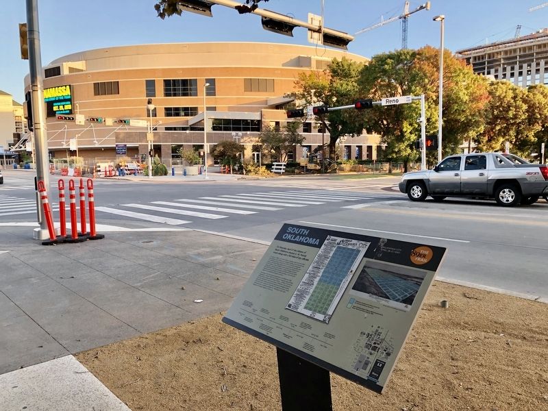
Location. 35° 27.862′ N, 97° 30.994′ W. Marker is in Oklahoma City, Oklahoma, in Oklahoma County. It is in Central Oklahoma City. Marker is at the intersection of Reno Avenue and Ron Norick Boulevard, on the right when traveling west on Reno Avenue. Touch for map. Marker is at or near this postal address: Reno Avenue, Oklahoma City OK 73102, United States of America. Touch for directions.
Other nearby markers. At least 8 other markers are within walking distance of this marker. Visit of the Congressmen (about 500 feet away, measured in a direct line); Charles Colcord (about 700 feet away); Henry Overholser (about 700 feet away); T.M. Richardson and the Oklahoma Bank (about 700 feet away); A Summer of Political Unrest (approx. 0.2 miles away); City Hall by Forfeiture (approx. 0.2 miles away); Hell's Half Acre (approx. 0.2 miles away); The Land Run (approx. 0.2 miles away). Touch for a list and map of all markers in Oklahoma City.
Credits. This page was last revised on February 16, 2023. It was originally submitted on November 1, 2019, by Mark Hilton of Montgomery, Alabama. This page has been viewed 101 times since then and 12 times this year. Photos: 1, 2. submitted on November 1, 2019, by Mark Hilton of Montgomery, Alabama.

