Sapulpa Road
Route 66 Motorist Center
| — | Tulsa's Historic Route 66 | — |
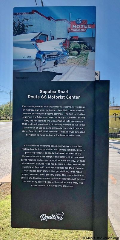
As automobile ownership became pervasive, commuters
replaced public transportation with private vehicles. Drivers
preferred to travel on roads that were designed as US
Highways because the designation guaranteed an improved,
paved roadbed and access to services along the way. By 1935
this stretch of Sapulpa Road had become a hub of services for
travelers on Route 66. Auto-enthusiasts had their choice of
four cottage court motels, five gas stations, three repair
shops, two cafes, and a grocery store. This concentration of
auto-related businesses was typical for locations just outside
the dense city center because their prices were likely less
expensive and it was easier to maneuver.
Erected 2019 by Tulsa Route 66 Commission. (Marker Number 25.)
Topics and series. This historical marker is listed in these topic lists: Railroads & Streetcars • Roads & Vehicles. In addition, it is included in the U.S. Route 66 series list. A significant historical year for this entry is 1907.
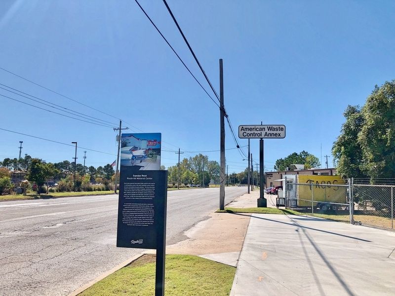
Location. 36° 6.908′ N, 96° 0.524′ W. Marker is in Tulsa, Oklahoma, in Tulsa County. It is on Southwest Boulevard, on the right when traveling south. Next to Red Fork Distillery. Touch for map. Marker is at or near this postal address: 3310 Southwest Boulevard, Tulsa OK 74107, United
this page online

Regionally, this marker is in the Muscogee Nation, specifically in the Cherokee Nation, and in Northeast Oklahoma—Green Country. It is also in the American South, specifically on the prairies, and on the Southern Plains. Globally, it is in North America, the Western Hemisphere, the Western World, and the Anglosphere. Historically, it finds itself in what was once the territory of the Mississippian Culture and also the Louisiana Purchase.
Other nearby markers. At least 8 other markers are within 2 miles of this marker, measured as the crow flies: Tulsa's First Oil Strike (approx. 0.2 miles away); Clinton Heights (approx. half a mile away); Route 66 Historical Village (approx. 0.7 miles away); Quanah Retail Center (approx. one mile away); Red Fork (approx. 1.1 miles away); First Oil Well in Tulsa County (approx. 1.1 miles away); Crystal City (approx. 1.3 miles away); Settlement of the Nations 1836-1866 (approx. 1.3 miles away). Touch for a list and map of all markers in Tulsa.
Credits. This page was last revised on November 1, 2019. It was originally submitted on November 1, 2019, by Mark Hilton of Montgomery, Alabama. This page has been viewed 652 times since then and 31 times this year. Photos: 1, 2. submitted on November 1, 2019, by Mark Hilton of Montgomery, Alabama.
