Cahokia Heights in St. Clair County, Illinois — The American Midwest (Great Lakes)
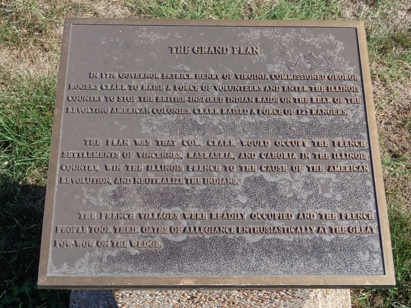
The Grand Plan
The plan was that Col. Clark would occupy the French settlements of Vincennes, Kaskaskia, and Cahokia in the Illinois country, win the Illinois French to the cause of the American Revolution, and neutralize the Indians. The French villages were readily occupied and the French people took their oaths of allegiance enthusiastically at the great pow-wow on the wedge.
Topics. This historical marker is listed in this topic list: War, US Revolutionary. A significant historical year for this entry is 1778.
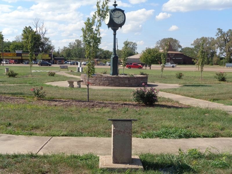
Location. 38° 34.253′ N, 90° 11.289′ W. Marker is in Cahokia Heights, Illinois, in St. Clair County. Marker is on East 1st Street, on the left when traveling east. Marker is located along with several others around a clock structure at the Cahokia Wedge (a grassy area), across from Church of the Holy Family. Touch for map. Marker is in this post office area: East Saint Louis IL 62206, United States of America. Touch for directions.
Other nearby markers. At least 8 other markers are within walking distance of this marker. Fort Bowman (a few steps from this marker); Cahokia - The Birthplace of the Midwest (a few steps from this marker); Chief Pontiac (a few steps from this marker); 13 Star Day (a few steps from this marker); Cahokia Association for the Tricentennial (within shouting distance of this marker); St. Louis Downtown Airport (Parks Airport) (within shouting distance of this marker); Parks Air College (within shouting distance of this marker); French-Colonial Home Site Of Jean Baptiste Hamelin (within shouting distance of this marker). Touch for a list and map of all markers in Cahokia Heights.
Credits. This page was last revised on August 2, 2023. It was originally submitted on November 2, 2019, by Jason Voigt of Glen Carbon, Illinois. This page has been viewed 148 times since then and 7 times this year. Photos: 1, 2. submitted on November 2, 2019, by Jason Voigt of Glen Carbon, Illinois. • Michael Herrick was the editor who published this page.

