Smiths Falls Public Market Building
Le bâtiment du marché public de Smiths Falls
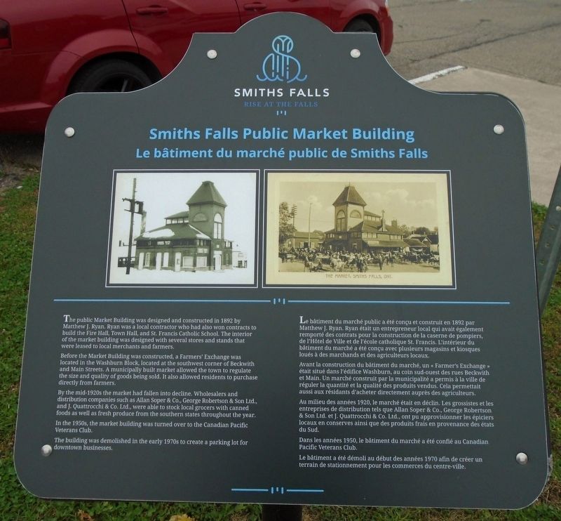
The public Market Building was designed and constructed in 1892 by Matthew J. Ryan. Ryan was a local contractor who had also won contracts to build the Fire Hall, Town Hall, and St. Francis Catholic School. The interior of the market building was designed with several stores and stands that were leased to local merchants and farmers.
Before the Market Building was constructed, a Farmers' Exchange was located in the Washburn Block, located at the southwest corner of Beckwith and Main Street. A municipality built market allowed the town to regulate the size and quality of goods being sold. It also allowed residents to purchase directly from farmers.
By the mid-1920s the market had fallen into decline. Wholesalers and distribution companies such as Allan Soper & Co., George Robertson & Son Ltd., and J. Quattrocchi & Co. Ltd., were able to stock local grocers with canned goods as well as fresh produce from the southern states throughout the year.
In the 1950s, the market building was turned over to the Canadian Pacific Veterans Club.
The building was demolished in the early 1970s to create a parking lot for downtown
businesses.Avant la construction du bâtiment du marché, un « Farmer's Exchange » était situé dans l'édifice Washburn, au coin sud-ouest des rues Beckwith et Main. Un marché construit par la municipalité a permis à la ville de réguler la quantité et la qualité des produits vendus. Cela permettait aussi aux résidants d'acheter directement auprès des agriculteurs.
Au milieu des années 1920, le marché était en déclin. Les grossistes et les entreprises de distribution tels que Allan Soper & Co., George Robertson & Son Ltd. et J. Quattrocchi & Co. Ltd., ont pu approvisionner les épiciers locaux en conserves ainsi qui des produits frais en provenance des états du Sud.
Dans les années 1950, le bâtiment du marché a été confié au Canadian Pacific Veterans Club.
Le bâtiment a été démoli au début des années 1970 afin de créer un terrain
Erected by Town of Smiths Falls.
Topics. This historical marker is listed in these topic lists: Agriculture • Industry & Commerce. A significant historical year for this entry is 1892.
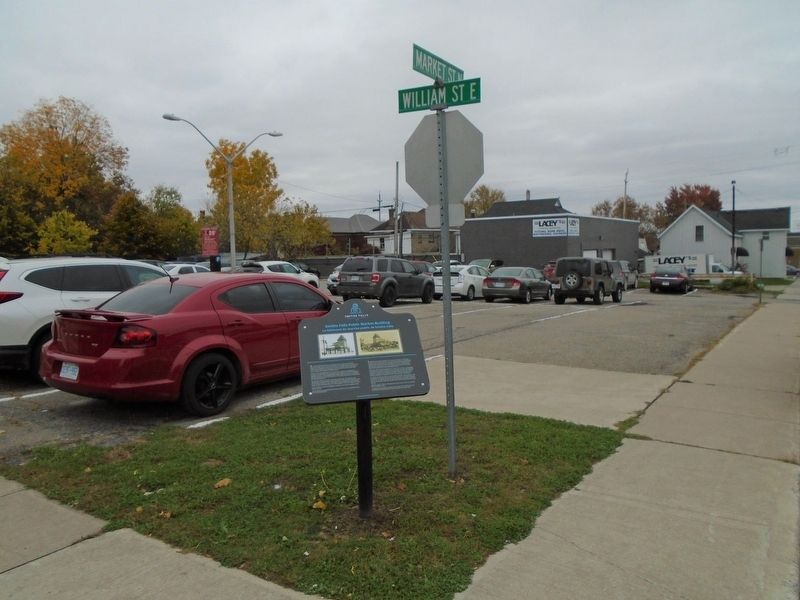
Location. 44° 54.032′ N, 76° 1.165′ W. Marker is in Smiths Falls, Ontario, in Lanark County. Marker is at the intersection of William Street and Market Street, on the right when traveling east on William Street. Touch for map. Marker is in this post office area: Smiths Falls ON K7A 2E3, Canada. Touch for directions.
Other nearby markers. At least 8 other markers are within walking distance of this marker. Town Hall / L'Hôtel de Ville (approx. 0.3 kilometers away); Beckwith Street and Bridge / La rue et le pont Beckwith (approx. 0.3 kilometers away); Wood's Mill / Moulin de Wood (approx. 0.3 kilometers away); Vimy Oaks / Les chênes de Vimy (approx. 0.4 kilometers away); To Commemorate the Opening of the Rideau Canal 1832 (approx. 0.4 kilometers away); World War Memorial (approx. 0.4 kilometers away); War Memorial (approx. 0.4 kilometers away); Rotary Club Swimming Pool Stone / La pierre de la piscine du club Rotary (approx. 0.4 kilometers away). Touch for a list and map of all markers in Smiths Falls.
Also see . . . Beautiful Smiths Falls. Town website homepage (Submitted on August 23, 2022, by Larry Gertner of New York, New York.)
Credits. This page was last revised on August 24, 2022. It was originally submitted on November 4, 2019, by William Fischer, Jr. of Scranton, Pennsylvania. This page has been viewed 126 times since then and 9 times this year. Photos: 1, 2. submitted on November 4, 2019, by William Fischer, Jr. of Scranton, Pennsylvania.

