East St. Louis in St. Clair County, Illinois — The American Midwest (Great Lakes)
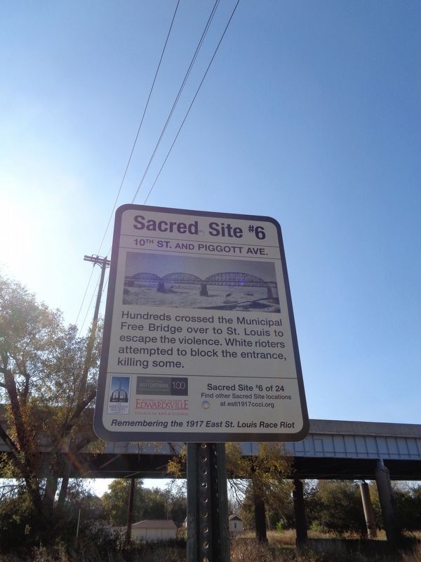
10th Street and Piggott Ave.
Remembering the 1917 East St. Louis Race Riot
Erected 2017 by The East St. Louis 1917 Centennial Commission & Cultural Initiative, the Meridian Society, Southern Illinois University Edwardsville. (Marker Number 6.)
Topics and series. This historical marker is listed in this topic list: Bridges & Viaducts. In addition, it is included in the Illinois, Remembering the 1917 East St. Louis Race Riot series list. A significant historical date for this entry is July 2, 1917.
Location. 38° 36.915′ N, 90° 9.819′ W. Marker is in East St. Louis, Illinois, in St. Clair County. Marker is at the intersection of Piggott Avenue and South 10th Street, on the right when traveling south on Piggott Avenue. Touch for map. Marker is at or near this postal address: 920 Piggott Avenue, East Saint Louis IL 62201, United States of America. Touch for directions.
Other nearby markers. At least 8 other markers are within walking distance of this marker. 10th Street and Trendley Ave. (about 400 feet away, measured in a direct line); S. 8th St. and Brady Ave. (approx. 0.4 miles away); East St. Louis Race Massacre, July 1917 (approx. half a mile away); S. 6th St. and Railroad Ave. (approx. half a mile away); S. 8th St. and E. Broadway (approx. half a mile away); S. 5th St. and Railroad Ave. (approx. half a mile away); 700 East Broadway (approx. 0.6 miles away); S. 4th St. and Railroad Ave. (approx. 0.6 miles away). Touch for a list and map of all markers in East St. Louis.
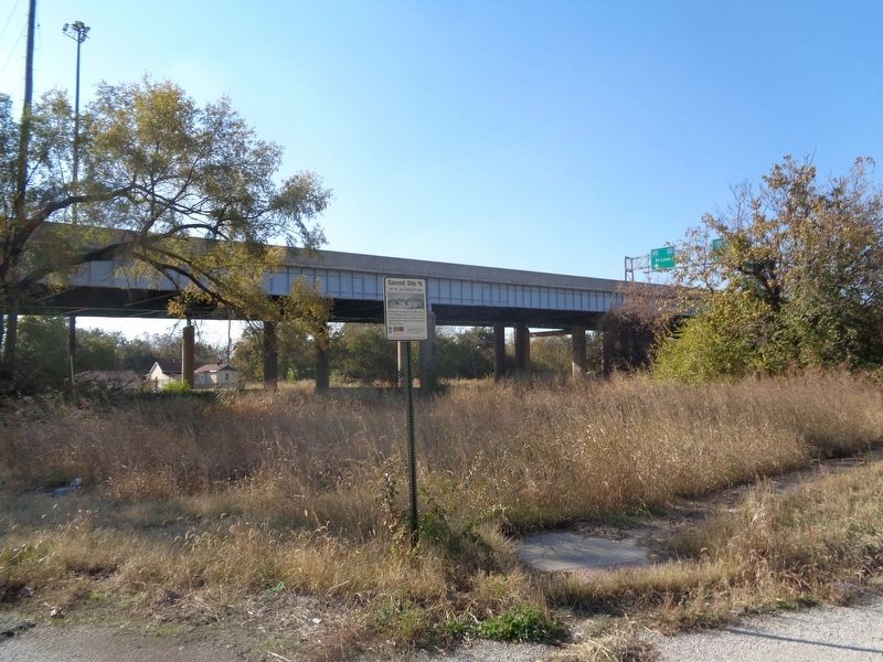
Regarding 10th Street and Piggott Ave.. Near this intersection is the Municipal Bridge (then called the "Free Bridge," because it did not have a toll). It opened in January 1917 and was a primary way for people living in the South End to cross over to St. Louis. During the violence, victims attempted to flee across to safety. White rioters tried to block their way. Luella Cox, a white woman from St. Louis, who had crossed for nonprofit work, started directing families to flee across the bridge. One woman was beheaded at this site, according to Mrs. Cox's testimony. Eventually, the rioters were driven away and hundreds of families fled across the bridge to safety. In 1942, the Municipal Bridge was renamed the MacArthur Bridge, after Douglas MacArthur. The bridge would be closed to vehicles in 1981, and today, it is used for railroads.
Source: The Crisis, September 1917, p. 226
Credits. This page was last revised on November 6, 2019. It was originally submitted on November 5, 2019, by Jason Voigt of Glen Carbon, Illinois. This page has been viewed 492 times since then and 69 times this year. Photos: 1, 2. submitted on November 5, 2019, by Jason Voigt of Glen Carbon, Illinois. • Devry Becker Jones was the editor who published this page.

