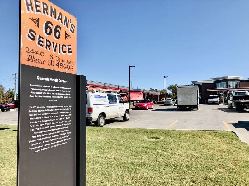
Quanah Retail Center
| — | Tulsa's Historic Route 66 | — |
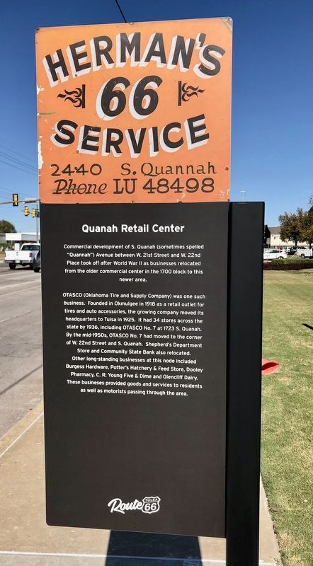
OTASCO (Oklahoma Tire and Supply Company) was one such
business. Founded in Okmulgee in 1918 as a retail outlet for
tires and auto accessories, the growing company moved its
headquarters to Tulsa in 1925. It had 34 stores across the
state by 1936, including OTASCO No. 7 at 1723 S. Quanah.
By the mid-1950s, OTASCO No. 7 had moved to the corner
of W. 22nd Street and S. Quanah. Shepherd's Department
Store and Community State Bank also relocated.
Other long-standing businesses at this node included
Burgess Hardware, Potter's Hatchery & Feed Store, Dooley
Pharmacy, C. R. Young Five & Dime and Glencliff Dairy.
These busineses provided goods and services to residents
as well as motorists passing through the area.
Erected 2019 by Tulsa Route 66 Commission. (Marker Number 23.)
Topics and series. This historical marker is listed in this topic list: Industry & Commerce. In addition, it is included in the U.S. Route 66 series list. A significant historical year for this entry is 1700.
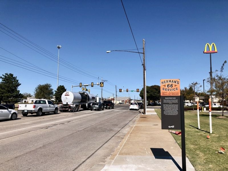
Location. 36° 7.756′ N, 96° 0.408′ W. Marker is in Tulsa, Oklahoma, in Tulsa County. It is at the intersection of Southwest Boulevard and West 23rd Street, on the right when traveling north on Southwest Boulevard. Touch for map. Marker is at or near this postal address: Southwest Boulevard, Tulsa OK 74107, United States of America. Touch for directions.
Regionally, this marker is in the Muscogee Nation, specifically in the Cherokee Nation, and in Northeast Oklahoma—Green Country. It is also in the American South, specifically on the prairies, and on the Southern Plains. Globally,
this page online
Other nearby markers. At least 8 other markers are within walking distance of this marker: West Tulsa (approx. half a mile away); Tulsa Auto Court (approx. 0.8 miles away); Will Rogers Motor Court (approx. 0.8 miles away); Oil Capital Motel (approx. 0.8 miles away); Tulsa's First Oil Strike (approx. 0.8 miles away); Tulsa Spotlight Theatre and “The Drunkard” (approx. 0.9 miles away); Bruce Goff • Patti Adams Shriner (approx. 0.9 miles away); Sapulpa Road (approx. one mile away). Touch for a list and map of all markers in Tulsa.
Credits. This page was last revised on November 5, 2019. It was originally submitted on November 5, 2019, by Mark Hilton of Montgomery, Alabama. This page has been viewed 428 times since then and 32 times this year. Photos: 1, 2, 3. submitted on November 5, 2019, by Mark Hilton of Montgomery, Alabama.
