Huron in Erie County, Ohio — The American Midwest (Great Lakes)
The Legacy of the Huron Docks
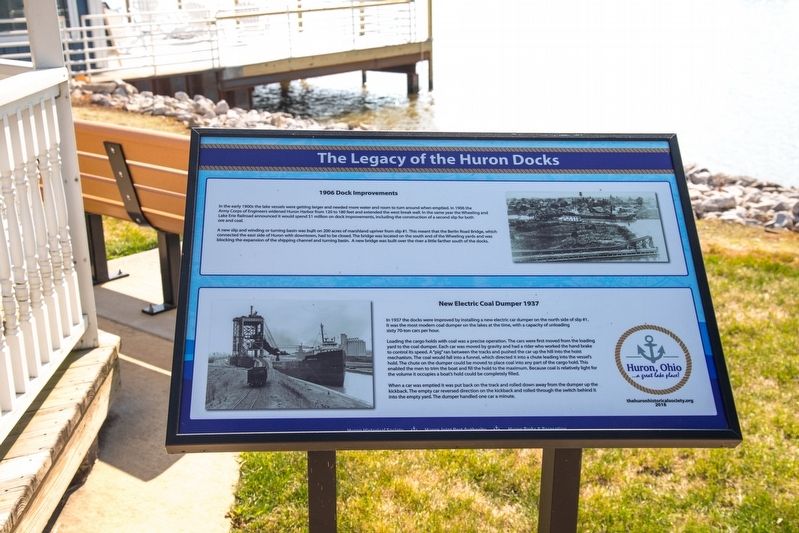
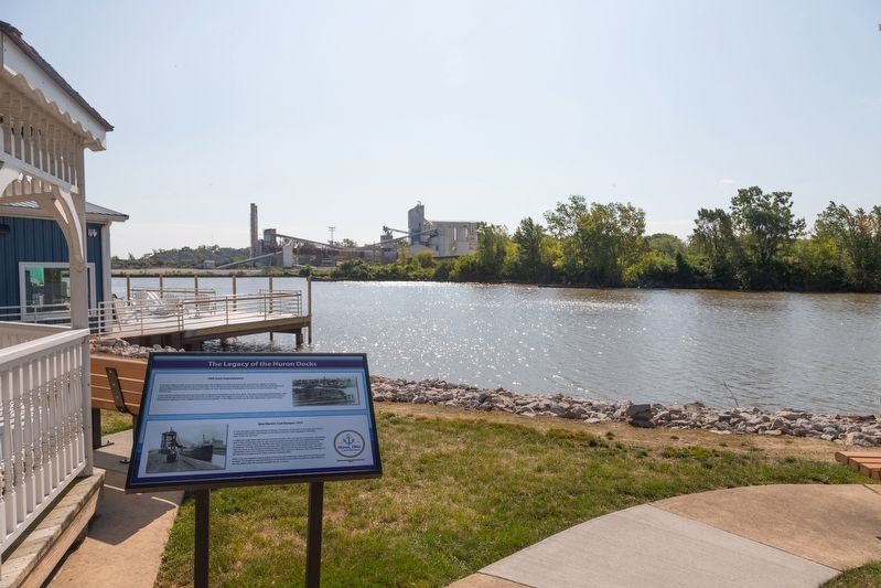
1906 Dock Improvements / New Electric Coal Dumper 1937
Inscription.
1906 Dock Improvements. In the early 1900s the lake vessels were getting larger and needed more water and room to turn around when emptied. In 1906 the Army Corps of Engineers widened Huron Harbor from 120 to 180 feet and extended the west break wall. In the same year the Wheeling and Lake Erie Railroad announced it would spend $1 million on dock improvements, including the construction of a second slip for both ore and coal.
A new slip and winding or turning basin was built on 200 acres of marshland upriver from slip #1.This meant that the Berlin Road Bridge, which connected the east side of Huron with downtown, had to be closed. The bridge was located on the south end of the Wheeling yards and was blocking the expansion of the shipping channel and turning basin. A new bridge was built over the river a little farther south of the docks.
New Electric Coal Dumper 1937. In 1937 the docks were improved by installing a new electric car dumper on the north side of slip #1. It was the most modern coal dumper on the lakes at the time, with a capacity of unloading sixty 70-ton cars per hour.
Loading the cargo holds with coal was a precise operation. The cars were first moved from the loading yard to the coal dumper. Each car was moved by gravity and had a rider who worked the hand brake to control its speed. A “pig” ran between the tracks and pushed the car up the hill into the hoist mechanism. The coal would fall into a funnel, which directed it into a chute leading into the vessel’s hold. The chute on the dumper could be moved to place coal into any part of the cargo hold. This enabled the men to trim the boat and fill the hold to the maximum. Because coal is relatively light for the volume it occupies a boat’s hold could be completely filled.
When a car was emptied it was put back on the track and rolled down away from the dumper up the kickback. The empty car reversed direction on the kickback and rolled through the switch behind it into the empty yard. The dumper handled one car a minute.
Erected 2018 by the Huron Historical Society thehuronhistoricalsociety.org.
Topics. This historical marker is listed in these topic lists: Industry & Commerce • Railroads & Streetcars • Waterways & Vessels. A significant historical year for this entry is 1906.
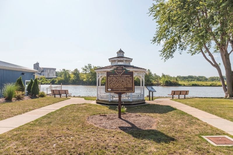
Location. 41° 23.81′ N, 82° 33.094′ W. Marker is in Huron, Ohio, in Erie County. Marker is at the intersection of Main Street and Wall Street, on the right when traveling north on Main Street. It is beside the gazebo at the foot of Wall Street. Touch for map. Marker is in this post office area: Huron OH 44839, United States of America. Touch for directions.
Other nearby markers. At least 8 other markers are within walking distance of this marker. John Baptiste Flemmond (here, next to this marker);
Huron Lighthouses / Huron’s Maritime History (about 400 feet away, measured in a direct line); a different marker also named Legacy of the Huron Docks (about 600 feet away); Huron / Erie County (approx. 0.2 miles away); a different marker also named The Legacy of the Huron Docks (approx. 0.2 miles away); Christ Episcopal Church (approx. 0.2 miles away); The Wright House and the Underground Railroad/Old Main Street (approx. 0.2 miles away); The War of 1812 (approx. ¼ mile away). Touch for a list and map of all markers in Huron.
Credits. This page was last revised on November 6, 2019. It was originally submitted on November 6, 2019, by J. J. Prats of Powell, Ohio. This page has been viewed 199 times since then and 11 times this year. Photos: 1, 2, 3, 4. submitted on November 6, 2019, by J. J. Prats of Powell, Ohio.


