Dorfkirche Lindach
⎯⎯⎯
Lindach Village Church
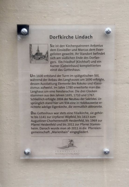

Um 1600 entstand der Turm im spätgotischen Stil, während der Anbau des Langhauses um 1690 erfolgte, dessen Ausstattung Elemente des Rokoko und Klassizismus aufweist. Im Jahre 1780 erweiterte man das Langhaus um eine Fensterachse. Die drei Glocken stammen aus den Jahren 1695, 1710 und 1767. Schließlich erfolgte 2004 der Neubau der Sakristei. Ursprunglich stand hier um 934 eine in Holzbauweise errichtete adelige Eigenkirche, die vermutlich abbrannte.
Das Gotteshaus war stets eine Filialkirche, sie gehörte bis 1141 zur Urpfarrei Wipfeld, bis 1613 zum Augustiner-Chorherrenstift Heidenfeld, bis 1969 zur Pfarrei Heidenfeld und bis 2011 zur Pfarrei Stammheim. Danach wurde man ab 2011 in die Pfarreiengemeinschaft "Marienhain” eingegliedert.
-
The church is dedicated to the patron saints of Antony the Hermit and Mark the Evangelist; they
Around 1600, the tower was built in the late Gothic style,
while the extension of the nave was built around 1690,
featuring elements of Rococo and Classicism. In 1780 the nave was extended around a window axis. The three bells come from the years 1695, 1710 and 1767.
Finally, in 2004, a sacristy was constructed. Originally around 934 there stood here a patrician church constucted of wood, which presumably burned down.
The church was always a branch church, belonging until 1141 to the original Wipfeld parish. Thereafter it belonged to the Heidenfeld Augustinian Abbey Choirmaster, and from then onwards to the Heidenfelf parish until 1969. From then until 2011 it was part of the Stammheim parish, and thereafter it was part of the "Marienhain" parish community.
this page online
Topics. This historical marker is listed in this topic list: Religion & Religious Structures. A significant historical year for this entry is 1600.
Location. 49° 55.592′ N, 10° 12.138′ E. Marker is in Lindach, Bayern (Bavaria), in Schweinfurt. It is at the intersection of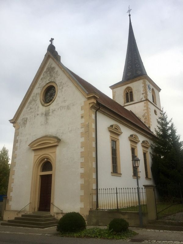

Regionally, it is in Europe, the European Union, Atlantic Europe, Central Europe, the Schengen Area, Western Europe, and the Western World. Historically, it finds itself in what was once the Holy Roman Empire.
Other nearby markers. At least 8 other markers are within 3 kilometers of this marker, measured as the crow flies: Dorfgasthaus Zum Löwen / "At the Lions" Village Inn (within shouting distance of this marker); Historisches Rathaus / Old City Hall (within shouting distance of this marker); Dorfkapelle Lindach / Lindach Village Chapel (approx. 0.3 kilometers away); Ehemaliger Klosterhof mit historischer Weinkelter / Former Monastery Building and Historic Winepress (approx. 2.5 kilometers away); Weinbauchronik von Stammheim / Stammheim Viniculture Timeline (approx. 2.5 kilometers away); Wein-Kult Tour bei Stammheim / Wine Cult-Tour in Stammheim (approx. 2.5 kilometers away); Das Historisches Rathaus / The Historic Town Hall (approx. 2.5 kilometers away); Franz Herbert (approx. 2.5 kilometers away). Touch for a list and map of all markers in Lindach.
Credits. This page was last revised on January 28, 2022. It was originally submitted on November 8, 2019, by Andrew Ruppenstein of Lamorinda, California. This page has been viewed 177 times since then and 8 times this year. Photos: 1, 2. submitted on November 8, 2019, by Andrew Ruppenstein of Lamorinda, California.
