Near Salem in Doddridge County, West Virginia — The American South (Appalachia)
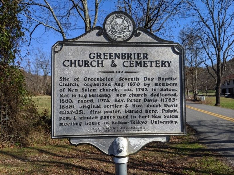
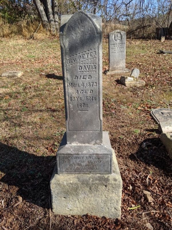
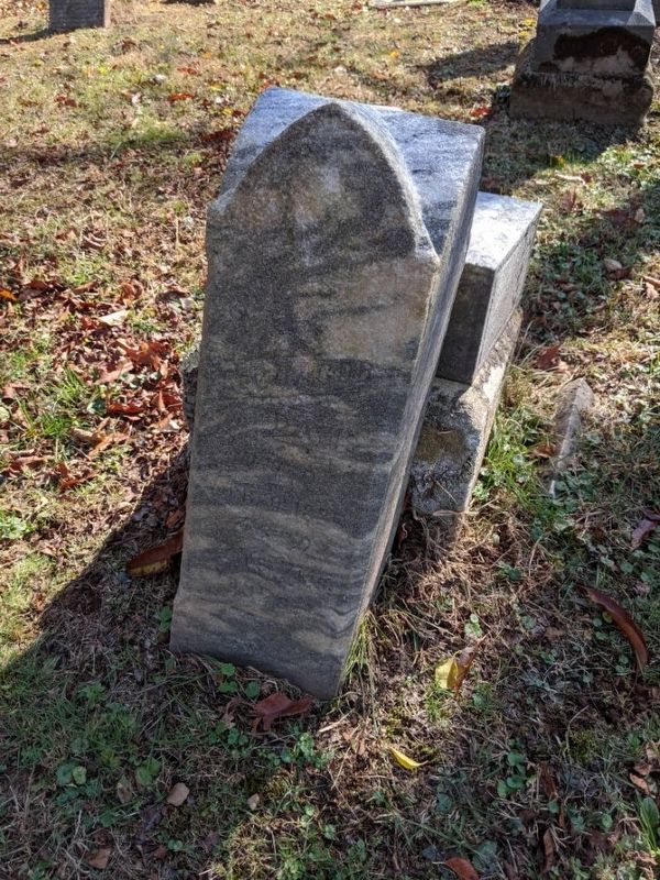
Greenbrier Church & Cemetery
Erected 1998 by Salem & Greenbrier Cemetery Association, West Virginia Archives and History.
Topics and series. This historical marker is listed in these topic lists: Cemeteries & Burial Sites • Churches & Religion. In addition, it is included in the West Virginia Archives and History series list. A significant historical month for this entry is August 1870.
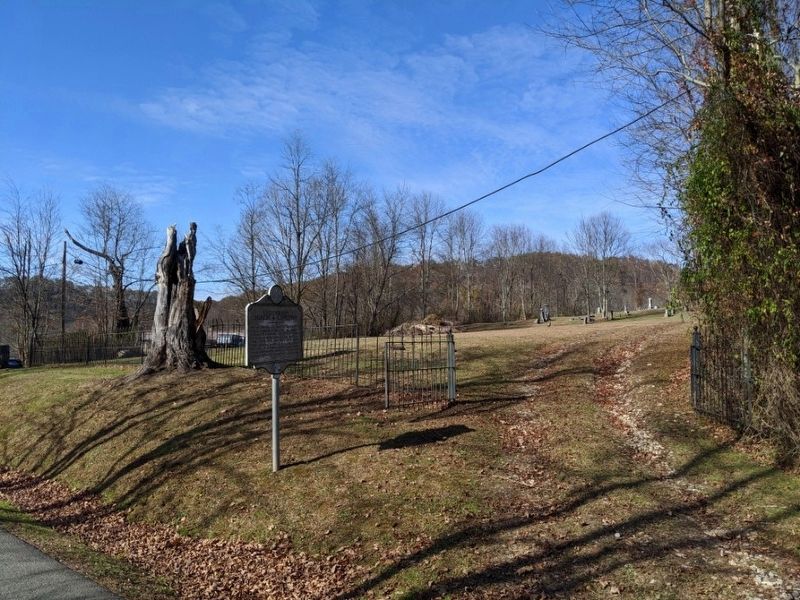
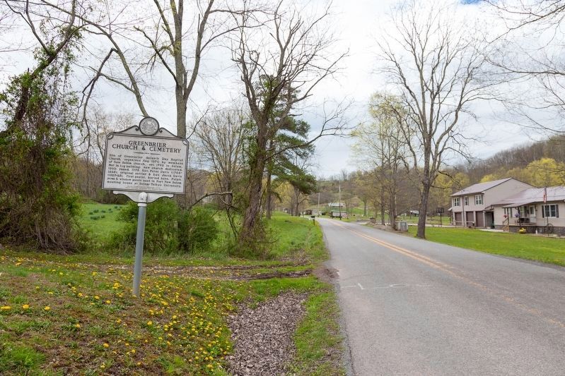
Location. 39° 14.785′ N, 80° 34.97′ W. Marker is near Salem, West Virginia, in Doddridge County. Marker is on Greenbrier Road (County Route 17) 0.9 miles west of Patterson Fork Road (County Route 29), on the right when traveling west. Touch for map. Marker is in this post office area: Salem WV 26426, United States of America. Touch for directions.
Other nearby markers. At least 8 other markers are within 7 miles of this marker, measured as the crow flies. Seventh Day Baptist Cemetery (within shouting distance of this marker); Industrial Home for Girls (approx. 2.4 miles away); Salem Fork Pilot Watershed (approx. 2.7 miles away); Melvin Mayfield (approx. 2.7 miles away); Salem (approx. 2.7 miles away); Salem at the Turn of the Century (approx. 2.8 miles away); Salem Depot (approx. 2.8 miles away); Matthew M. Neely (approx. 7.1 miles away). Touch for a list and map of all markers in Salem.
Credits. This page was last revised on May 24, 2021. It was originally submitted on November 9, 2019, by Mike Wintermantel of Pittsburgh, Pennsylvania. This page has been viewed 320 times since then and 24 times this year. Photos: 1, 2. submitted on November 9, 2019, by Mike Wintermantel of Pittsburgh, Pennsylvania. 3. submitted on May 24, 2021, by J. J. Prats of Powell, Ohio. 4, 5. submitted on November 9, 2019, by Mike Wintermantel of Pittsburgh, Pennsylvania.
