Leopold in Doddridge County, West Virginia — The American South (Appalachia)
J.H. Diss Debar
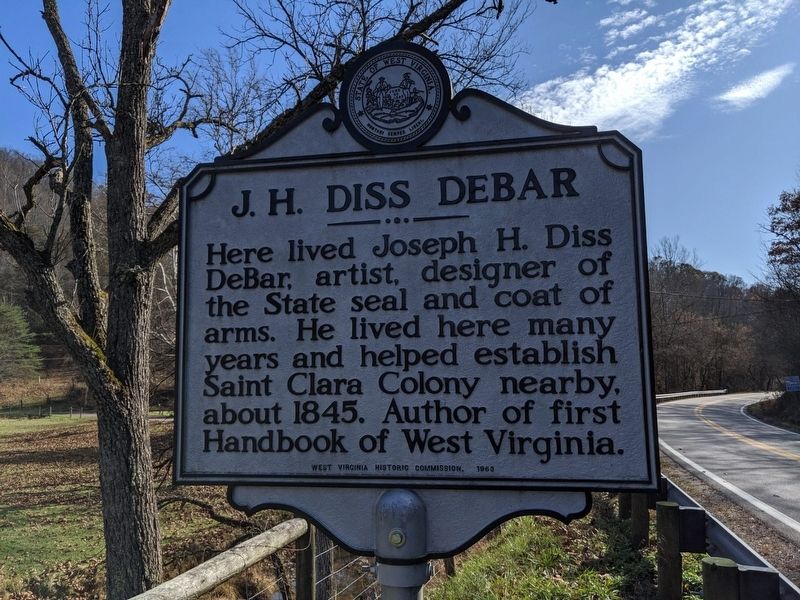
Photographed by Mike Wintermantel
1. J.H. Diss Debar Marker
Erected 1963 by West Virginia Historic Commission.
Topics and series. This historical marker is listed in these topic lists: Arts, Letters, Music • Settlements & Settlers. In addition, it is included in the West Virginia Archives and History series list. A significant historical year for this entry is 1845.
Location. 39° 7.544′ N, 80° 44.44′ W. Marker is in Leopold, West Virginia, in Doddridge County. It is at the intersection of West Virginia Route 18 and Carter Camp Run Road, on the right when traveling north on West Virginia Route 18. Touch for map. Marker is in this post office area: Troy WV 26443, United States of America. Touch for directions.

Regionally, this marker is in the Little Kanawha Valley. It is also in the American South, specifically in the Upper South, in Appalachia, and specifically in Northern Appalachia. Globally, it is in North America, the Western Hemisphere, the Western
this page online
Other nearby markers. At least 8 other markers are within 12 miles of this marker, measured as the crow flies: Gilmer County / Doddridge County (approx. 1.9 miles away); Matthew M. Neely (approx. 5.9 miles away); Stagecoach Stop (approx. 6.9 miles away); Raid on Troy (approx. 7.4 miles away); Ephraim Bee (approx. 10.6 miles away); Beehive Inn (approx. 11½ miles away); Chapman J. Stuart (approx. 11.6 miles away); Lathrop Russell Charter House (approx. 11.8 miles away).
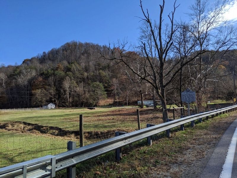
Photographed by Mike Wintermantel
2. J.H. Diss Debar Marker
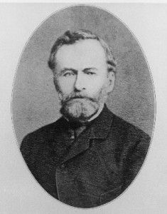
Photographed by Unknown, 1905
3. Photograph portrait of Joseph H. Diss Debar (1820–1905)
Credits. This page was last revised on January 9, 2022. It was originally submitted on November 9, 2019, by Mike Wintermantel of Pittsburgh, Pennsylvania. This page has been viewed 585 times since then and 72 times this year. Photos: 1, 2, 3. submitted on November 9, 2019, by Mike Wintermantel of Pittsburgh, Pennsylvania.
