Coventry in Tolland County, Connecticut — The American Northeast (New England)
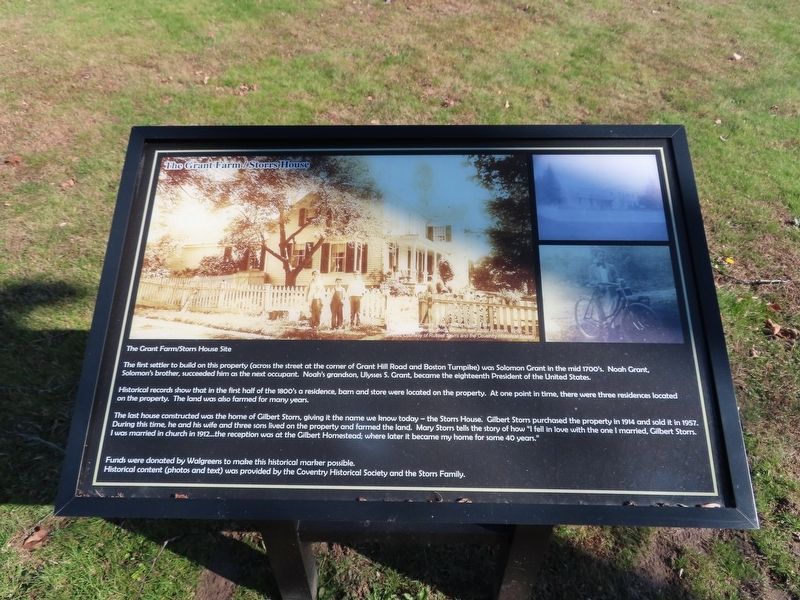
The Grant Farm / Storrs House
The Grant Farm / Storrs House Site
The first settler to build on this property (across the street at the corner of Grant Hill Road and Boston Turnpike) was Solomon Grant in the mid 1700’s. Noah Grant, Solomon’s brother, succeeded him as the next occupant. Noah’s grandson, Ulysses S. Grant, became the eighteenth President of the United States.
Historical records show that in the first half of the 1800’s a residence, barn and store were located on the property. At one point in time, there were three residences located on the property. The land was also farmed for many years.
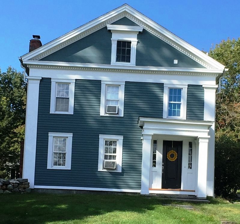
The last house constructed was the home of Gilbert Storrs, giving it the name we know today — the Storrs House. Gilbert Storrs purchased the property in 1914 and sold it in 1957. During this time, he and his wife and three sons lived on the property and farmed the land. Mary Storrs tells the story of how “I fell in love with the one I married, Gilbert Storrs. I was married in country in 1912 … the reception was at the Gilbert Homestead; where later it became my home for some 40 years.”
Funds were donated by Walgreens to make this historical marker possible.
Historical content (photos and text) was provided by the Coventry Historical Society and the Storrs Family.
Topics. This historical marker is listed in these topic lists: Colonial Era • Settlements & Settlers. A significant historical year for this entry is 1914.
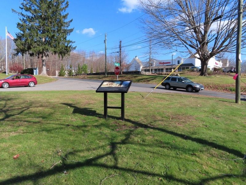
Location. 41° 47.908′ N, 72° 22.34′ W. Marker is in Coventry, Connecticut, in Tolland County. Marker is at the intersection of Boston Turnpike (U.S. 44) and Grant Hill Road, on the left when traveling east on Boston Turnpike. Touch for map. Marker is at or near this postal address: 1707 Boston Turnpike, Coventry CT 06238, United States of America. Touch for directions.
Other nearby markers. At least 8 other markers are within 4 miles of this marker, measured as the crow flies. The Strong-Porter Homestead (approx. 2˝ miles away); Strong Homestead (approx. 2˝ miles away); Holy Grove (approx. 2.6 miles away); Birthplace of Nathan Hale (approx. 2.7 miles away); Coventry (approx. 3.4 miles away); Rochambeau Encampment (approx. 3.4 miles away); Bolton (approx. 3.7 miles away); Washington – Rochambeau Revolutionary Route (approx. 3.7 miles away). Touch for a list and map of all markers in Coventry.
Credits. This page was last revised on July 17, 2023. It was originally submitted on November 10, 2019, by Michael Herrick of Southbury, Connecticut. This page has been viewed 314 times since then and 63 times this year. Photos: 1, 2. submitted on November 10, 2019, by Michael Herrick of Southbury, Connecticut. 3. submitted on November 10, 2019, by Brandon D Cross of Flagler Beach, Florida.


