
East St. Louis in St. Clair County, Illinois — The American Midwest (Great Lakes)
621 N. 9th Street
Remembering the 1917 East St. Louis Race Riot
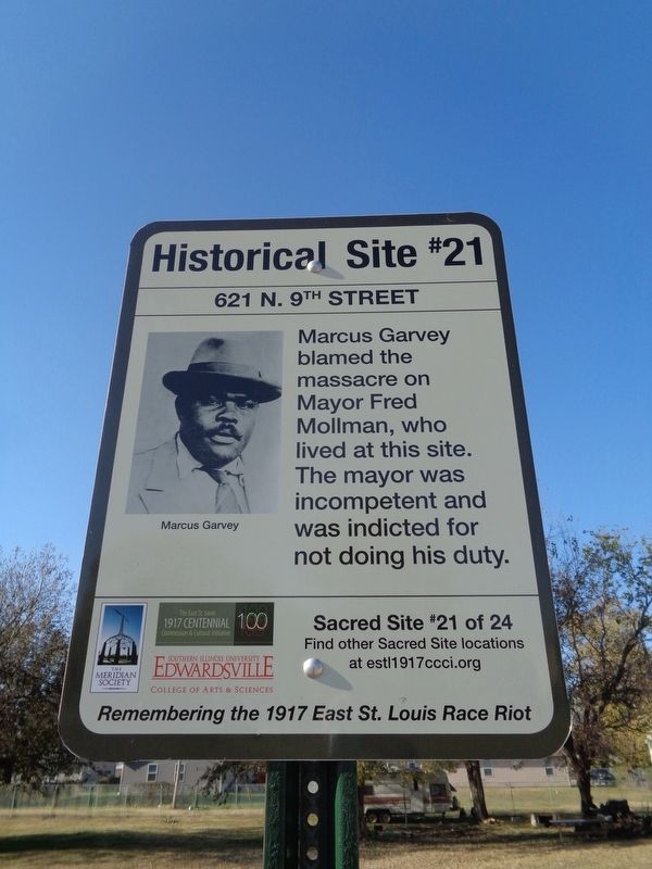
Photographed by Jason Voigt, November 5, 2019
1. 621 N. 9th Street Marker
Erected 2017 by The East St. Louis 1917 Centennial Commission & Cultural Initiative, the Meridian Society, and Southern Illinois University Edwardsville. (Marker Number 21.)
Topics and series. This historical marker is listed in these topic lists: African Americans • Government & Politics. In addition, it is included in the Illinois, Remembering the 1917 East St. Louis Race Riot series list. A significant historical month for this entry is July 1917.
Location. 38° 37.728′ N, 90° 8.815′ W. Marker is in East St. Louis, Illinois, in St. Clair County. It is on North 9th Street just south of Pennsylvania Avenue, on the right when traveling west. Touch for map. Marker is at or near this postal address: 621 North 9th Street, East Saint Louis IL 62201, United States of America. Touch for directions.

Regionally, this marker is in Greater St. Louis. It is also in the American Midwest, in the Lewis & Clark Corridor, in the Corn Belt, and in the Great River Road Region. Globally,
this page online
Other nearby markers. At least 8 other markers are within walking distance of this marker: 1010 Pennsylvania Avenue (about 600 feet away, measured in a direct line); N. 9th St. & St. Clair Ave. (approx. 0.2 miles away); Collinsville at St. Louis Avenue (approx. 0.6 miles away); N. 18th St. and Parsons Ave. (approx. 0.7 miles away); N. 3rd St. and Missouri Ave. (approx. ¾ mile away); S. 8th St. and E. Broadway (approx. 0.8 miles away); 700 East Broadway (approx. 0.8 miles away); N. 4th St. and Division Ave. (approx. 0.8 miles away). Touch for a list and map of all markers in East St. Louis.
Regarding 621 N. 9th Street. Mayor Fred Mollman, who lived here, was a politician who knew that the city was about to explode with violence. He had been the leader of a corrupt government that was unprepared to respond to any civil disturbance, much less to an open massacre. Marcus Garvey said in a
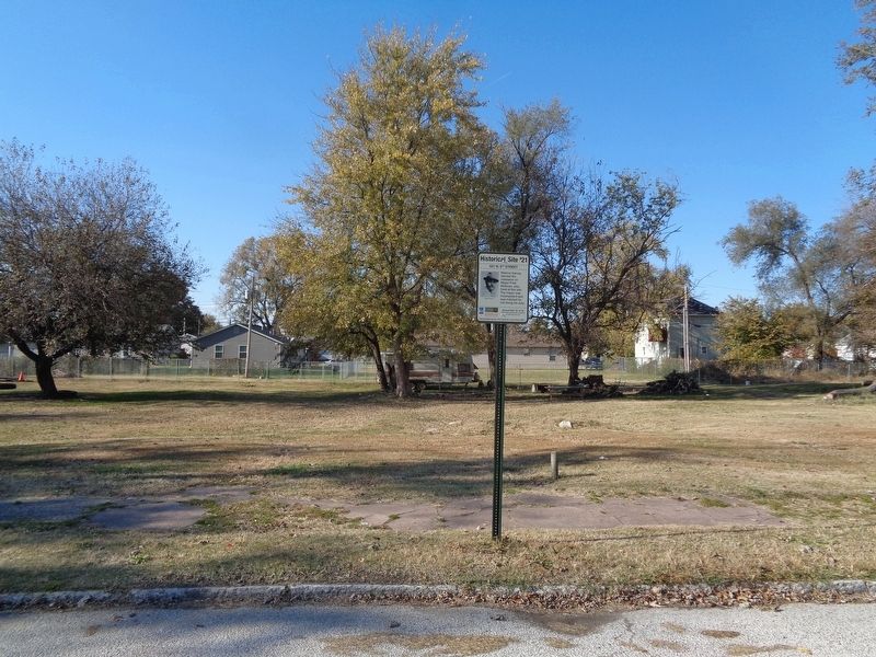
Photographed by Jason Voigt, November 5, 2019
2. 621 N. 9th Street Marker
Marker is in front of an empty lot
Sources: Andrew Theising, Made in USA (St. Louis: Virginia Publishing, 2003), p. 157. Marcus Garvey, The Conspiracy of the East St. Louis Riots (speech, July 8, 1917).
Credits. This page was last revised on November 10, 2019. It was originally submitted on November 10, 2019, by Jason Voigt of Glen Carbon, Illinois. This page has been viewed 568 times since then and 25 times this year. Photos: 1, 2. submitted on November 10, 2019, by Jason Voigt of Glen Carbon, Illinois. • Devry Becker Jones was the editor who published this page.
