Delaware State University & East Dover Hundred in Kent County, Delaware — The American Northeast (Mid-Atlantic)
Delaware State College High School
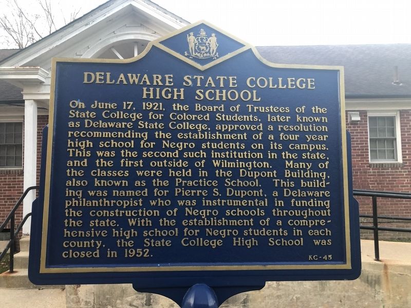
Photographed by Devry Becker Jones (CC0), November 11, 2019
1. Delaware State College High School Marker
Erected by Delaware Public Archives. (Marker Number KC-45.)
Topics and series. This historical marker is listed in these topic lists: African Americans • Education. In addition, it is included in the Delaware Public Archives, and the Historically Black Colleges and Universities series lists. A significant historical date for this entry is June 17, 1921.
Location. 39° 11.05′ N, 75° 32.673′ W. Marker is in Dover, Delaware, in Kent County.
this page online

Regionally, this marker is in the American Mid-Atlantic, on the Delmarva Peninsula, and on the Eastern Seaboard. Globally, it is in the North Atlantic Region, North America, the Western Hemisphere, the Western World, and the Anglosphere. Historically, it finds itself in what was once New Netherland, one of the original Thirteen Colonies, and the Antebellum South.
Other nearby markers. At least 8 other markers are within walking distance of this marker: Dupont School (within shouting distance of this marker); Voyage (about 400 feet away, measured in a direct line); Loockerman Hall (about 400 feet away); a different marker also named Loockerman Hall (about 400 feet away); William C. Jason Library (approx. 0.2 miles away); DSU Tuskegee Airmen Plaza (approx. 0.2 miles away); Science Center North (approx. ¼ mile away); Delaware State University Arboretum
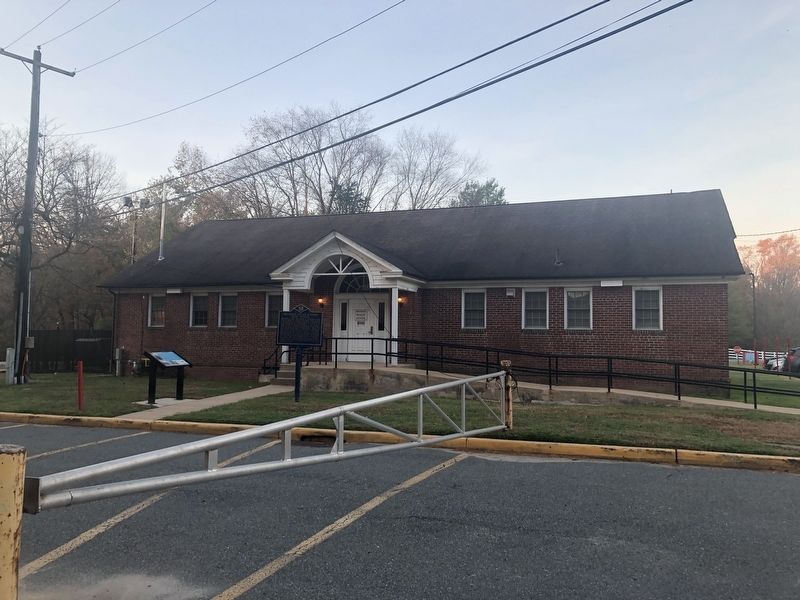
Photographed by Devry Becker Jones (CC0), November 11, 2019
2. Delaware State College High School Marker
Credits. This page was last revised on May 15, 2026. It was originally submitted on November 11, 2019, by Devry Becker Jones of Washington, District of Columbia. This page has been viewed 633 times since then and 33 times this year. Photos: 1, 2. submitted on November 11, 2019, by Devry Becker Jones of Washington, District of Columbia.
