Duck Creek Hundred in Smyrna in Kent County, Delaware — The American Northeast (Mid-Atlantic)
School District No. 5
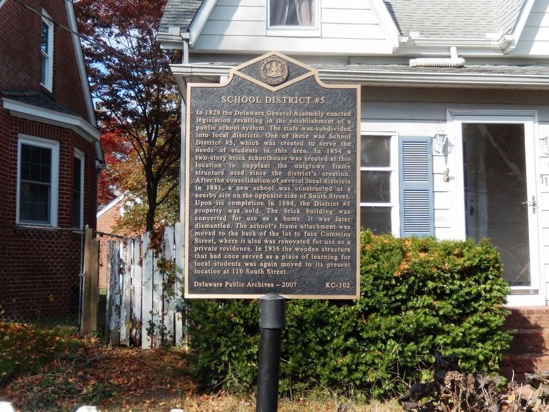
Photographed by Don Morfe, November 10, 2019
1. School District No. 5 Marker
Erected 2007 by Delaware Public Archieves. (Marker Number K-102.)
Topics and series. This historical marker is listed in this topic list: Education.
this page online
Location. 39° 17.886′ N, 75° 36.414′ W. Marker is in Smyrna, Delaware, in Kent County. It is in Duck Creek Hundred. It is on West South Street. Touch for map. Marker is at or near this postal address: 110 South Street, Smyrna DE 19977, United States of America. Touch for directions.

Regionally, this marker is in Southern New Castle County. It is also in the American Mid-Atlantic, on the Delmarva Peninsula, and on the Eastern Seaboard. Globally, it is in the North Atlantic Region, North America, the Western Hemisphere, the Western World, and the Anglosphere. Historically, it finds itself in what was once New Netherland, one of the original Thirteen Colonies, and the Antebellum South.
Other nearby markers. At least 8 other markers are within walking distance of this marker: Citizens' Hose Company No. 1. Inc. (about 600 feet away, measured in a direct line); In Memory of Victor D. Ennis (about 600 feet away); Presbyterian Church of Smyrna (about 700 feet away); Thornley House (about 700 feet away); Smyrna Opera House and Old Town Hall
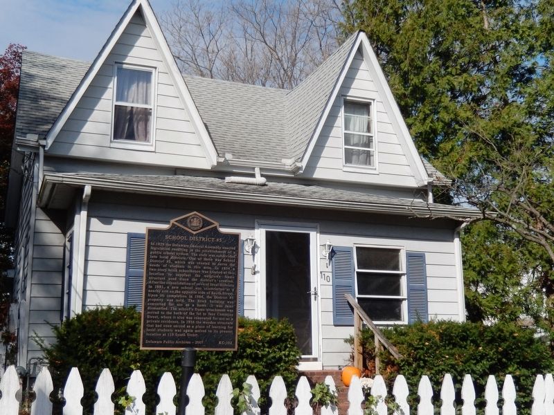
Photographed by Don Morfe, November 10, 2019
2. School District No. 5 Marker
Credits. This page was last revised on May 15, 2026. It was originally submitted on November 11, 2019, by Don Morfe of Baltimore, Maryland. This page has been viewed 346 times since then and 21 times this year. Photos: 1, 2. submitted on November 11, 2019, by Don Morfe of Baltimore, Maryland. • Bill Pfingsten was the editor who published this page.
