Loma in Chouteau County, Montana — The American West (Mountains)
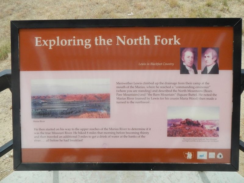
Exploring the North Fork
Lewis in Blackfoot Country
Photographed by Barry Swackhamer, August 14, 2019
1. Exploring the North Fork Marker
Captions: (middle left) Marias River; (bottom right) The month of Arrow Creek and "Barn Mountain" and Highwood Mts on the horizon. by C.M. Russell.
He then started on his way to the upper reaches of the Marias River to determine if it was the true Missouri River. He hiked 8 miles that morning before becoming thirsty and the traveled an additional 3 miles to get a drink of water at the banks of the river...all before he had breakfast!
Topics and series. This historical marker is listed in this topic list: Exploration. In addition, it is included in the Lewis & Clark Expedition series list.
Location. 47° 58.478′ N, 110° 29.964′ W. Marker is in Loma, Montana, in Chouteau County. It is on U.S. 87 near Rudyard Road. Touch for map. Marker is in this post office area: Loma MT 59460, United States of America. Touch for directions.

Regionally, this marker is in Central Montana,
this page online
Other nearby markers. At least 8 other markers are within 4 miles of this marker, measured as the crow flies: Decision at the Marias (here, next to this marker); A Montana Crossroads (approx. 0.2 miles away); The Manitoba Railroad (approx. 3.2 miles away); Marias River (approx. 3.2 miles away); Victims of Blood Indian Massacre (approx. 3.2 miles away); Ophir (approx. 3.4 miles away); Lewis and Clark National Historic Trail (approx. 3.4 miles away); Fort Piegan (approx. 3.4 miles away). Touch for a list and map of all markers in Loma.
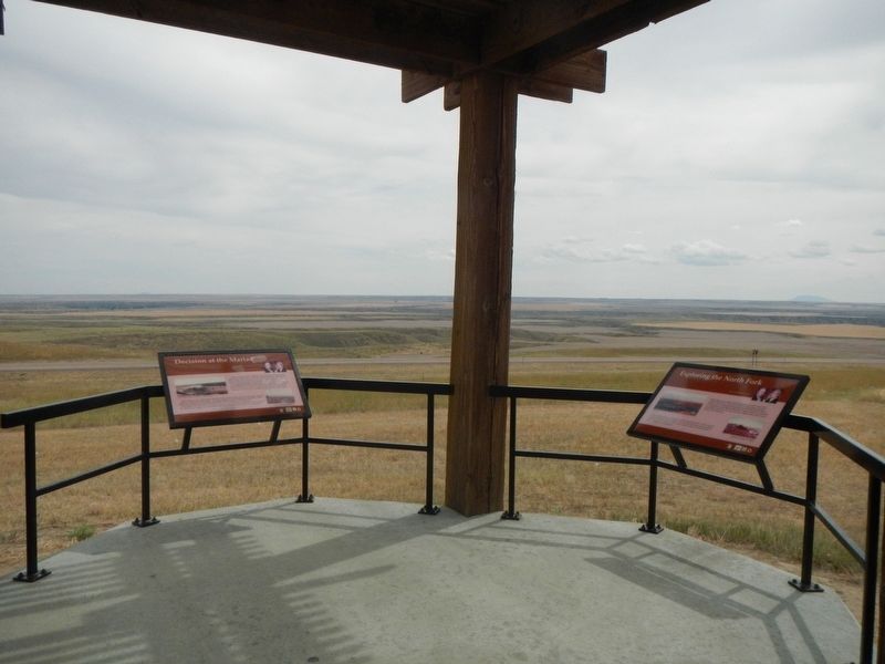
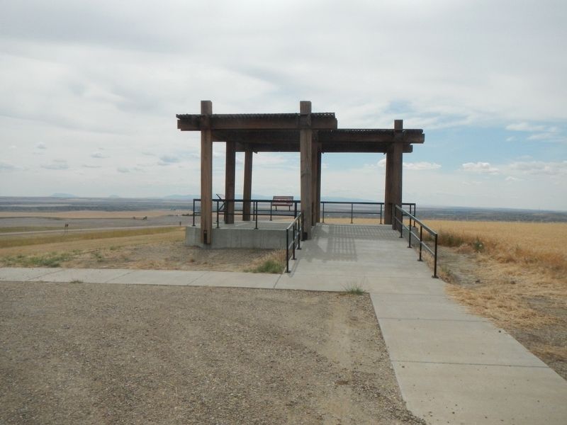
More about this marker. This marker is at an observation deck located atop of a hill a short distance from the highway,
Photographed by Barry Swackhamer, August 14, 2019
2. Exploring the North Fork Marker, on right
Photographed by Barry Swackhamer, August 14, 2019
3. A "commanding eminence" Observation Deck
Credits. This page was last revised on November 12, 2019. It was originally submitted on November 12, 2019, by Barry Swackhamer of Brentwood, California. This page has been viewed 389 times since then and 30 times this year. Photos: 1, 2, 3. submitted on November 12, 2019, by Barry Swackhamer of Brentwood, California.
