Speedwell in Claiborne County, Tennessee — The American South (East South Central)
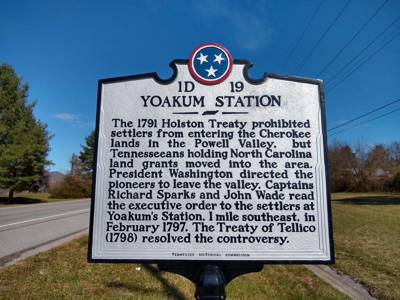
Yoakum Station
Erected by Tennessee Historical Commission. (Marker Number 1D 19.)
Topics and series. This historical marker is listed in these topic lists: Forts and Castles • Government & Politics • Native Americans • Peace • Settlements & Settlers. In addition, it is included in the Former U.S. Presidents: #01 George Washington, and the Tennessee Historical Commission series lists. A significant historical month for this entry is February 1797.
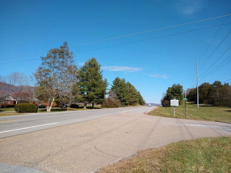
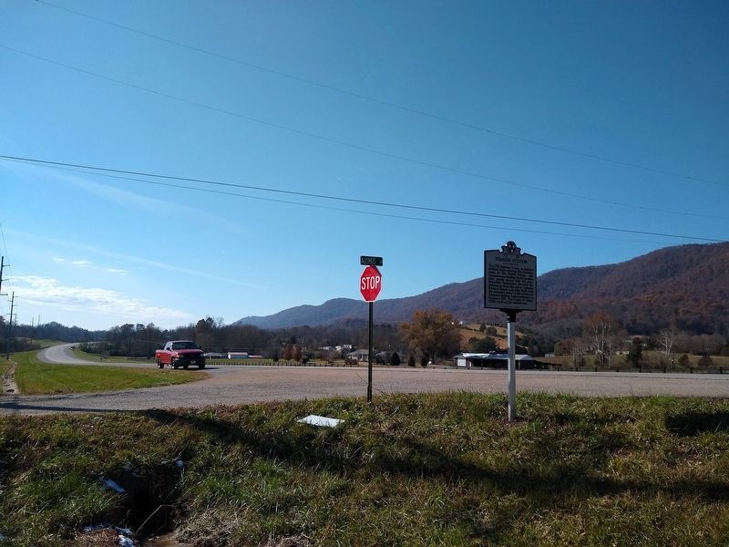
Location. 36° 29.954′ N, 83° 48.444′ W. Marker is in Speedwell, Tennessee, in Claiborne County. Marker is at the intersection of State Highway 63 and Ausmus Road, on the right when traveling north on State Highway 63. Touch for map. Marker is at or near this postal address: 5214 Highway 63, Speedwell TN 37870, United States of America. Touch for directions.
Other nearby markers. At least 8 other markers are within 10 miles of this marker, measured as the crow flies. Davis Creek Primitive Baptist Church (approx. 3.1 miles away); The Baptist Church of Christ at Davis Creek (approx. 3.3 miles away); Colonel Arthur Campbell (approx. 8.9 miles away in Kentucky); Mountain Vision (approx. 9 miles away in Kentucky); Middlesboro Country Club (approx. 9.1 miles away in Kentucky); St. Mary's Episcopal Church (approx. 9.1 miles away in Kentucky); Tri - State Heroes (approx. 9.1 miles away in Kentucky); Middlesborough (approx. 9.1 miles away in Kentucky). Touch for a list and map of all markers in Speedwell.
Also see . . . Yokum's Station. (Submitted on November 17, 2019, by Tom Bosse of Jefferson City, Tennessee.)
Additional keywords. Native American treaties
Credits. This page was last revised on November 17, 2019. It was originally submitted on November 17, 2019, by Tom Bosse of Jefferson City, Tennessee. This page has been viewed 1,108 times since then and 454 times this year. Photos: 1, 2, 3. submitted on November 17, 2019, by Tom Bosse of Jefferson City, Tennessee. • Devry Becker Jones was the editor who published this page.


