Manlius in Onondaga County, New York — The American Northeast (Mid-Atlantic)
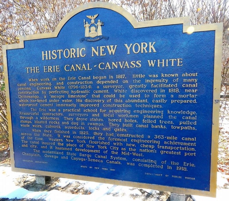
The Erie Canal - Canvass White
Historic New York
When work on the Erie Canal began in 1817, little was known about canal engineering, and construction depended on the ingenuity of many persons. Canvass White (1796-1834), a surveyor, greatly facilitated canal construction by perfecting a "meagre limestone" that could be used to form a mortar which hardened under water. His discovery of this abundant, easily prepared waterproof cement immensely improved construction techniques. The Erie was a practical school for acquiring engineering knowledge. Resourceful contractors, surveyors and local workmen planned the canal through a wilderness. They drove stakes, bored holes, felled trees, pulled stumps, blasted rocks and dug in swamps. They built canal banks, towpaths, waste weirs, culverts, aqueducts, locks and gates. When they finished in 1825, they had constructed a 363-mile canal across the State. It was considered the foremost engineering achievement of the time. Western New York flourished with new, cheap transportation. The canal insured the place of New York City as the nation's greatest port and city, and it hastened development of the Mid-West. The modernized State Barge Canal System, consisting of the Erie, Champlain, Oswego and Cayuga-Seneca Canals, was completed in 1918.
Erected 1967 by State Education Department, Department of Public Works.
Topics and series. This historical marker is listed in these topic lists: Industry & Commerce • Waterways & Vessels. In addition, it is included in the Erie Canal, and the Historic New York State series lists.
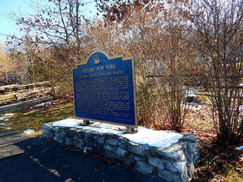
Location. 43° 3.227′ N, 76° 0.018′ W. Marker is in Manlius, New York, in Onondaga County. Marker is at the intersection of Minoa Road and Manlius Center Road (New York State Route 290), on the left when traveling south on Minoa Road. Located in the parking lot of the Old Erie Canal State Park. Touch for map. Marker is at or near this postal address: 5852 Minoa Road, Manlius NY 13104, United States of America. Touch for directions.
Other nearby markers. At least 8 other markers are within 4 miles of this marker, measured as the crow flies. Fayetteville (approx. 1.6 miles away); Grover Cleveland (approx. 1.7 miles away); Matilda Joslyn Gage (approx. 1.7 miles away); Matilda Joslyn Gage Home (approx. 1.8 miles away); Civil War Memorial (approx. 1.9 miles away); Old Erie Canal State Historic Park at Kirkville Road (approx. 2.8 miles away); State Troopers (approx. 3.4 miles away); Alexander D. Ellis (approx. 3.6 miles away).
Credits. This page was last revised on November 18, 2019. It was originally submitted on November 17, 2019, by Mollie of Syracuse, New York. This page has been viewed 298 times since then and 40 times this year. Photos: 1, 2. submitted on November 17, 2019, by Mollie of Syracuse, New York. • Michael Herrick was the editor who published this page.

