Near Chinook in Blaine County, Montana — The American West (Mountains)
Bear's Paw Battleground
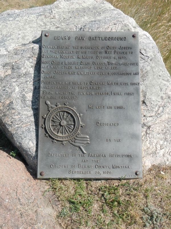
Commemorating the surrender of Chief Joseph and the remnants of his tribe of Nez Perce to General Nelson A. Miles, October 5, 1877.
Here Chiefs Looking Glass, Ollicut, Too-hul-sote and many other warriors were killed
Chief Joseph was a military genius, courageous, and humane.
Presenting his rifle to General Miles, with right hand upraised, he proclaimed:
"From where the sun now stands, I will fight no more forever."
He kept his word.
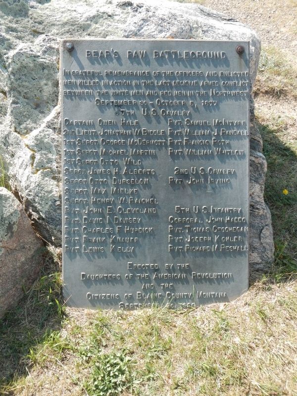
September 30 - October 5, 1877
7th U.S. Cavalry
Captain Owen Hale • 2nd Lieut. Jonathan W. Biddle • 1st Sergt. George McDermott • 1st Sergt. Michael Martin • 1st Sergt. Otto Wild • Sergt. James H. Alberts • Sergt. Otto Durselow • Sergt. Max Mielke • Sergt. Henry W. Paichel • Pvt. John E. Cleveland • Pvt. David I. Dawsey • Pvt. Charles F. Hurdick • Pvt. Frank Knaupp • Pvt. Lewis Kelly • Pvt. Samuel McIntyre • Pvt. William J. Randall • Pvt. Francis Roth • Pvt. William Whitlow
2nd U.S. Cavalry
Pvt. John Irving
5th U.S. Infantry
Corporal John Haddo • Pvt. Thomas Geoghegan • Pvt. Joseph Kohler • Pvt. Richard M. Peshall
Erected 1926 by Daughters of the American Revolution.
Topics and series. This memorial is listed in this topic list: Wars, US Indian. In addition, it is included in the Daughters of the American Revolution, and the The Nez Perce Trail series lists. A significant historical date for this entry is September 30, 1877.
Location. 48° 22.68′ N, 109° 12.727′ W. Marker is near Chinook, Montana, in Blaine County. Memorial is on Cleveland Road (County Road 240) near S-B Road, on the right when traveling south. Touch for map. Marker is in this post office area: Chinook MT 59523, United States of America. Touch for directions.
Other nearby markers. At least 8 other markers are within walking distance of this marker. Surrender of Chief Joseph (here, next to this marker); Bear Paw Battlefield (here, next to this marker); Nez Perce National Historical Park (here, next to this marker); ćáynim?a•lika?spe (here, next to this marker); Last Battle (here, next to this marker); Nez Perce Encampment (about 500 feet away, measured in a direct line); Chief Joseph’s Surrender (about 700 feet away); Soldier Burials (approx. 0.2 miles away). Touch for a list and map of all markers in Chinook.
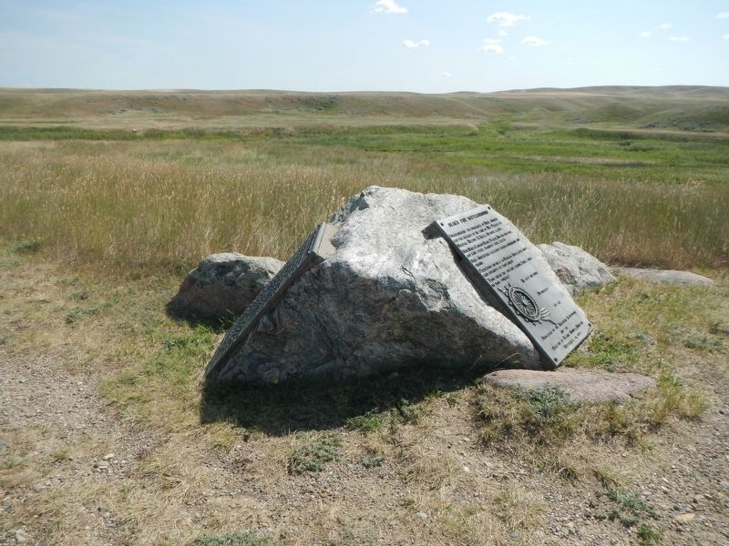
More about this marker. This markers is located near the Bear Paw Battlefield parking lot.
Credits. This page was last revised on November 20, 2019. It was originally submitted on November 20, 2019, by Barry Swackhamer of Brentwood, California. This page has been viewed 308 times since then and 14 times this year. Photos: 1, 2, 3. submitted on November 20, 2019, by Barry Swackhamer of Brentwood, California.


