Near Malta in Phillips County, Montana — The American West (Mountains)
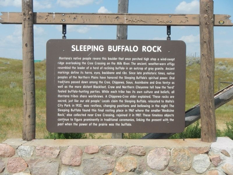
Sleeping Buffalo Rock
Photographed by Barry Swackhamer, August 15, 2019
1. Sleeping Buffalo Rock Marker
this page online
Erected by Montana Department of Transportation.
Topics. This historical marker is listed in these topic lists: Animals • Anthropology & Archaeology • Indigenous Peoples and Communities • Religion & Religious Structures. A significant historical year for this entry is 1932.
Location. 48° 28.194′ N, 107° 32.97′ W. Marker is near Malta, Montana, in Phillips County. It is at the intersection of U.S. 2 and County Road 243, on the left when traveling east on U.S. 2. Touch for map. Marker is in this post office area: Malta MT 59538, United States of America. Touch for directions.

Regionally, this marker is in Montana’s Missouri River Country. It is also in the American Mountain West, in the Lewis & Clark Corridor, on the prairies, on the Great Plains, and specifically on the Northern Plains. Globally, it is in North America, the Rocky Mountains, the Western Hemisphere, the Western World, and the Anglosphere. Historically, it finds itself in what was once Rupert’s Land and
Photographed by Barry Swackhamer, August 15, 2019
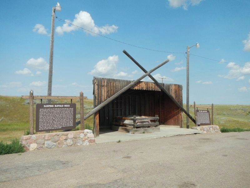
2. Sleeping Buffalo Rock Marker
The marker is on the left. Sleeping Buffalo and Medicine Rocks are in the shelter.
Other nearby markers. At least 2 other markers are within 6 miles of this marker, measured as the crow flies: The Long, Long Trail (here, next to this marker); Cree Crossing (approx. 5.3 miles away).
Photographed by Barry Swackhamer, August 15, 2019
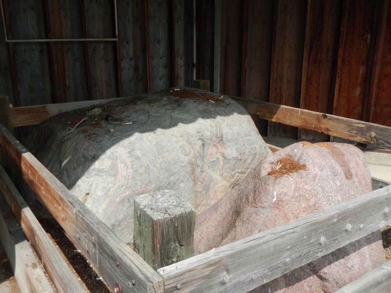
3. Sleeping Buffalo Rock is in front of the Medicine Rock
The offering on top of the rocks is tobacco.
Photographed by Trip Advisor
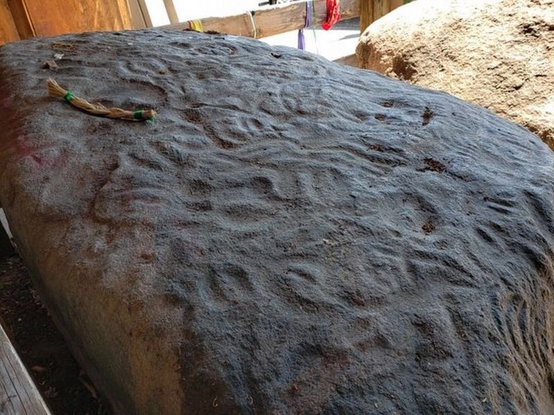
4. Medicine Rock
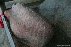
Photographed by Trip Advisor
5. Sleeping Buffalo Rock
Credits. This page was last revised on December 27, 2024. It was originally submitted on November 23, 2019, by Barry Swackhamer of Brentwood, California. This page has been viewed 1,920 times since then and 127 times this year. Photos: 1, 2, 3, 4, 5. submitted on November 23, 2019, by Barry Swackhamer of Brentwood, California.
