Fort Belknap Indian Community in Blaine County, Montana — The American West (Mountains)
Fort Belknap Reservation
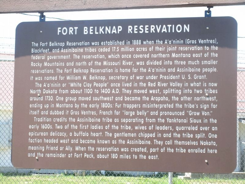
Photographed by Rev. Ronald Irick, July 21, 2022
1. Fort Belknap Reservation Marker
Fort Belknap Reservation was established in 1888 when Gros Ventres, Blackfeet, and River Crows ceded to the government 17,500,000 acres of their joint reservation that had covered all of northern Montana east of the Rocky Mountains. Home for the Gros Ventres and Assiniboines, who had shared hunting rights on the reservation, it was named for Wm. W. Belknap, secretary of war under President U.S. Grant.
The Gros Ventres (French for "Big Belly and pronounced "Grow Von") got the name courtesy of the early French fur trappers. Also known as Atsina, the tribe's own name for themselves is A'a'ninn or "White Clay People." Always a small tribe, they lived in the Red River Valley, North Dakota, from 1100 to 1400 A.D., then moved west, splitting into two tribes around 1730. One group moved southwest and became the Arapaho, the other northwest, ending up in Montana by the early 1800s. They were close allies to the Blackfeet.
Tradition credits the Assiniboine tribe as separating from the Yanktonai Sioux in the early 1600s. Two of the first ladies of the tribe, wives of leaders, quarreled over an epicurean delicacy, viz. a
this page online
Erected by Montana Department of Transportation.
Topics and series. This historical marker is listed in this topic list: Indigenous Peoples and Communities. In addition, it is included in the Former U.S. Presidents: #18 Ulysses S. Grant series list.
Location. 48° 28.925′ N, 108° 45.447′ W. Marker is in Fort Belknap Indian Community, Montana, in Blaine County. It can be reached from Main Street near Assiniboine Avenue. Touch for map. Marker is in this post office area: Harlem MT 59526, United States of America. Touch for directions.

Regionally, this marker is in Montana’s Fort Belknap Indian Reservation and in Missouri River Country. It is also in the American Mountain West, in the Lewis & Clark Corridor, on the prairies, on the Great Plains, and specifically on
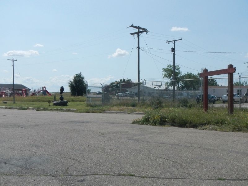
Photographed by Barry Swackhamer, August 15, 2019
2. Fort Belknap Reservation Marker
The marker was previously missing. Note the support frame remains in this photo.
Other nearby markers. At least 3 other markers are within 4 miles of this marker, measured as the crow flies: The Vision Quest (a few steps from this marker); Fort Belknap Roll of Honor (within shouting distance of this marker); Airmen Memorial (approx. 3.4 miles away).
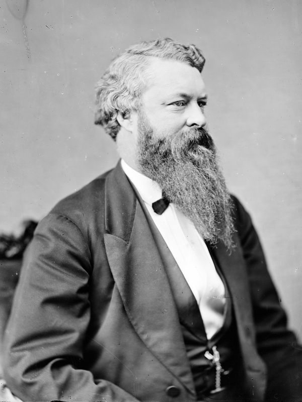
Library of Congress
3. General William Worth Belknap
Brady-Handy photograph collection, Library of Congress, Prints and Photographs Division.
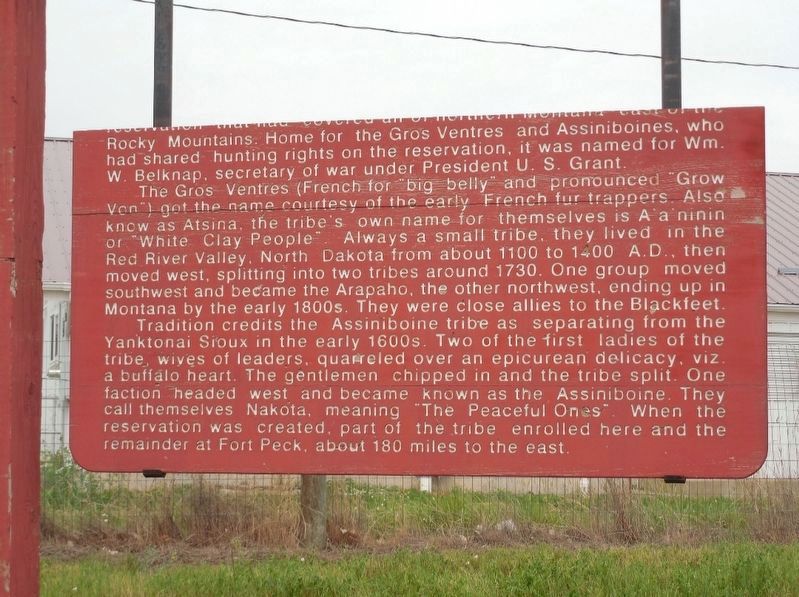
Photographed by Jimmy Emerson, May 2014
4. Broken Fort Belknap Reservation Marker
Credits. This page was last revised on April 13, 2026. It was originally submitted on November 24, 2019, by Barry Swackhamer of Brentwood, California. This page has been viewed 698 times since then and 67 times this year. Photos: 1. submitted on September 1, 2022, by Rev. Ronald Irick of West Liberty, Ohio. 2. submitted on November 24, 2019, by Barry Swackhamer of Brentwood, California. 3. submitted on December 17, 2023, by Allen C. Browne of Silver Spring, Maryland. 4. submitted on April 11, 2026, by Jimmy Emerson of Dalton, Georgia.
Editor’s want-list for this marker. A wide view of the marker when it is replaced. • Can you help?
