Near Glasgow in Valley County, Montana — The American West (Mountains)
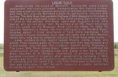
Liquid Gold
One of the earliest Milk River users was Augustin Armel (AKA Hamel) who arrived about 1820. He worked at all the major American Fur Co. posts on the Missouri River until the 1850s. In 1855, he opened Hammell’s House, the first trading post on the Milk River, located about 7 miles southwest of here (near Vandalia). Tom Campbell’s House followed, built near the same site in 1870. Neither lasted very long, and no physical remains of them have been found.
Later comers to this region raised mostly cattle, sheep, and wheat. They needed water on more of the land than was blessed with it and today you can see the irrigation system along Highway 2. The Lower Milk River Valley Water Users Association promoted the construction of the Vandalia Dam and Canal in the early 1900s. Area rancher, H. H. Nelson, interested in attracting settlers, became involved in irrigation after establishing Vandalia in 1904. Nelson was director and superintendent for construction of the dam at Vandalia and the canal that runs from there east to Nashua. The dam was completed in 1917. Nelson’s hopes for a sizable settlement at Vandalia never materialized.
Erected by Montana Department of Transportation.
Topics. This historical marker is listed in these topic lists: Agriculture • Natural Resources.
Location. 48° 22.195′ N, 106° 47.556′ W. Marker is near Glasgow, Montana, in Valley County. Marker can be reached from U.S. 2 near Tampico North Road, on the left when traveling east. Touch for map. Marker is in this post office area: Glasgow MT 59230, United States of America. Touch for directions.
Other nearby markers. At least 3 other markers are within 14 miles of this marker, measured as the crow flies. The Ice Ages (here, next to this marker); The Old Milk River Bridge and Tampico (approx. 4.6 miles away); First National Bank of Glasgow (approx. 14.1 miles away).
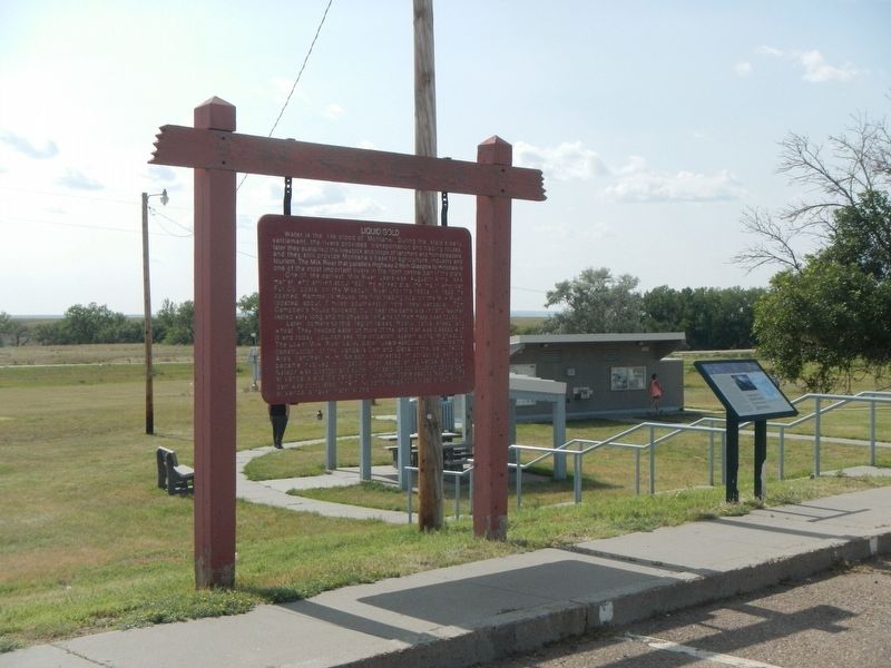
More about this marker. The marker is located in the Glasgow Roadside Rest.
Credits. This page was last revised on November 25, 2019. It was originally submitted on November 25, 2019, by Barry Swackhamer of Brentwood, California. This page has been viewed 193 times since then and 19 times this year. Photos: 1, 2. submitted on November 25, 2019, by Barry Swackhamer of Brentwood, California.

