Near Wolf Point in Roosevelt County, Montana — The American West (Mountains)
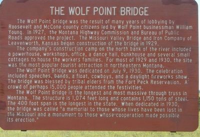
The Wolf Point Bridge
The company’s construction camp on the north bank of the river included a powerhouse, workshops, office, a dance hall, bunkhouse and several small cottages to house the workers’ families. For most of 1929 and 1930, the site was the most popular tourist attraction in northeastern Montana.
The Wolf Point Bridge was dedicated on July 9, 1930. The celebration included speeches, bands, a float, cowboys, and a daylight fireworks show. The bridge was blessed by tribal elders from the Fort Peck Reservation. A crowd of perhaps 15,000 people attended the festivities.
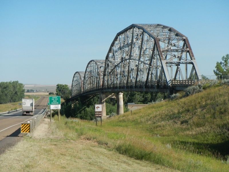
The Wolf Point Bridge is the longest and most massive through truss in Montana. The structure is 1,074-feet long and contains 1,150 tons of steel. The 400-foot span is the longest in the state. When dedicated in 1930, the bridge was called “A memorial to those whose lives have been lost in the Missouri and a monument to those whose cooperation made possible its erection.”
Erected by Montana Department of Transportation.
Topics. This historical marker is listed in this topic list: Bridges & Viaducts. A significant historical date for this entry is July 9, 1930.
Location. 48° 3.87′ N, 105° 32.031′ W. Marker is near Wolf Point, Montana, in Roosevelt County. Marker is at the intersection of State Highway 13 at milepost 46 and DeWitt Road, on the right when traveling north on State Highway 13. Touch for map. Marker is in this post office area: Wolf Point MT 59201, United States of America. Touch for directions.
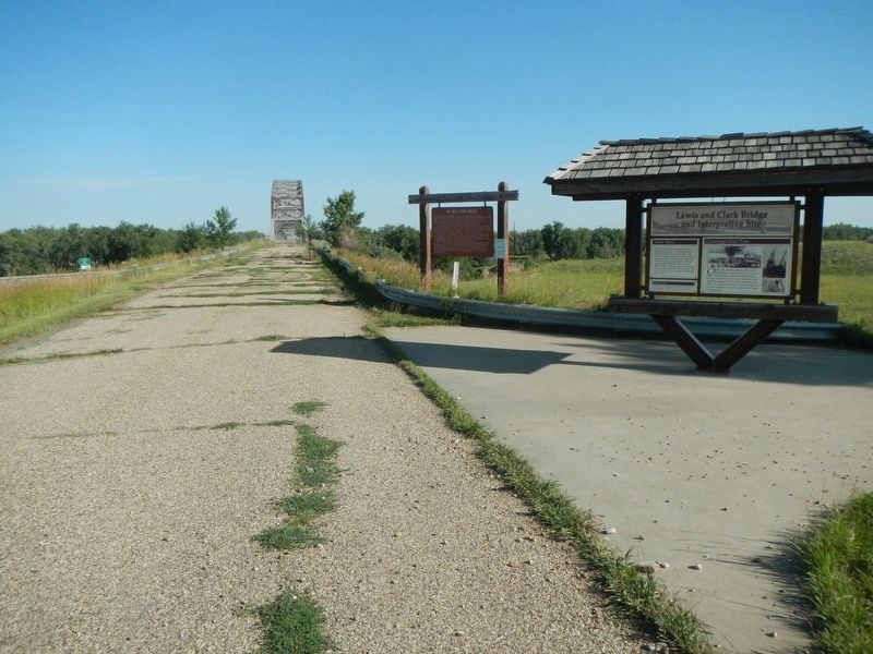
Other nearby markers. At least 3 other markers are within 10 miles of this marker, measured as the crow flies. Lewis and Clark Bridge and Interpretive Site (here, next to this marker); Wolf Point (approx. 5˝ miles away); The Homestead Acre (approx. 9.4 miles away).
Credits. This page was last revised on November 27, 2019. It was originally submitted on November 27, 2019, by Barry Swackhamer of Brentwood, California. This page has been viewed 177 times since then and 20 times this year. Photos: 1, 2, 3, 4. submitted on November 27, 2019, by Barry Swackhamer of Brentwood, California.


