Loudonville in Albany County, New York — The American Northeast (Mid-Atlantic)
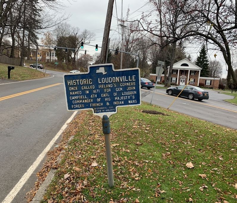
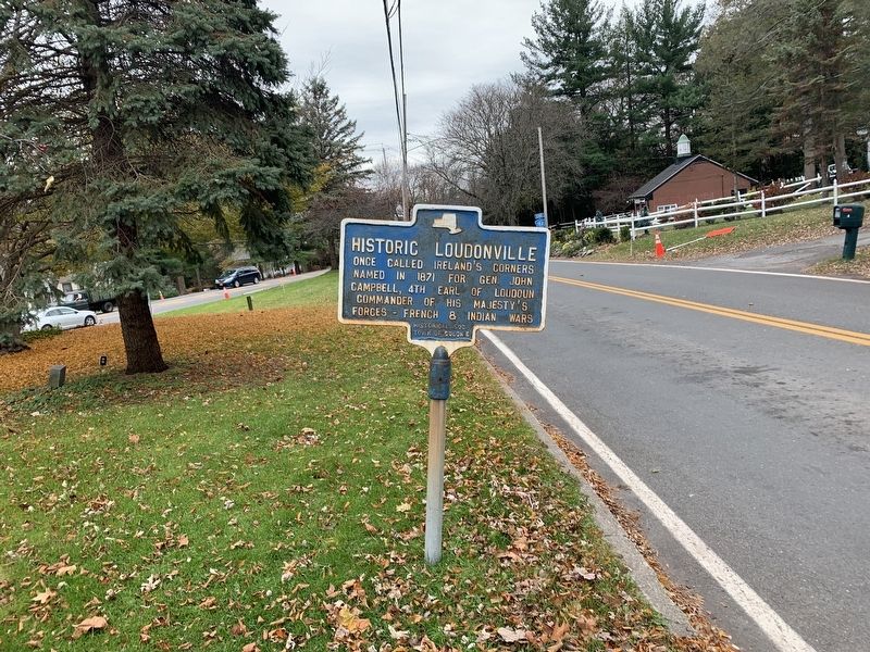
Historic Loudonville
Erected by Historical Soc. Town of Colonie.
Topics. This historical marker is listed in these topic lists: Settlements & Settlers • War, French and Indian. A significant historical year for this entry is 1871.
Location. 42° 42.295′ N, 73° 45.296′ W. Marker is in Loudonville, New York, in Albany County. Marker is at the intersection of Old Niskayuna Road and Osborne Road (New York State Route 378), on the right when traveling north on Old Niskayuna Road. Touch for map. Marker is in this post office area: Albany NY 12211, United States of America. Touch for directions.
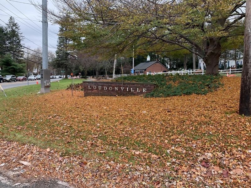
Other nearby markers. At least 8 other markers are within 3 miles of this marker, measured as the crow flies. Loudonville (within shouting distance of this marker); Historic Albany Rural Cemetery (approx. one mile away); Chester Alan Arthur (approx. 1.1 miles away); Saint Agnes Cemetery (approx. 1.6 miles away); Gen. Henry Knox Trail (approx. 2.1 miles away); The Erie Canal (approx. 2.1 miles away); Schuyler Flatts (approx. 2.1 miles away); Site of New York Central Railroad Erector Shop (approx. 2.2 miles away).
Regarding Historic Loudonville. A military road to Crown Point and Fort Edward was built during the French and Indian War through this area by John Campbell, Earl of Loudoun. Loudonville is named after him.
Also see . . . John Campbell, 4th Earl of Loudoun (Wikipedia). (Submitted on November 10, 2019, by Steve Stoessel of Niskayuna, New York.)
Credits. This page was last revised on November 27, 2019. It was originally submitted on November 10, 2019, by Steve Stoessel of Niskayuna, New York. This page has been viewed 519 times since then and 92 times this year. Last updated on November 27, 2019, by Steve Stoessel of Niskayuna, New York. Photos: 1, 2, 3. submitted on November 10, 2019, by Steve Stoessel of Niskayuna, New York. • Michael Herrick was the editor who published this page.


