Bainville in Roosevelt County, Montana — The American West (Mountains)
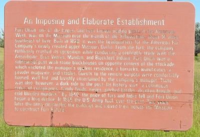
An Imposing and Elaborate Establishment
Photographed by Barry Swackhamer, August 16, 2019
1. An Imposing and Elaborate Establishment Marker
this page online
Erected by Montana Department of Transportation.
Topics. This historical marker is listed in these topic lists: Forts and Castles • Industry & Commerce. A significant historical year for this entry is 1828.
Location. 48° 8.795′ N, 104° 10.377′ W. Marker is in Bainville, Montana, in Roosevelt County. It is on U.S. 2 at milepost 666 near Highway 405, on the left when traveling east. Touch for map. Marker is in this post office area: Bainville MT 59212, United States of America. Touch for directions.

Regionally, this marker is in Missouri River Country. It is also in the American Mountain West, in the Lewis & Clark Corridor, on the prairies, on the Great Plains, and specifically on the Northern Plains. Globally, it is in North America, the Western Hemisphere, the Western World, and the Anglosphere. Historically, it finds itself in what was once Rupert’s Land and also the Louisiana Purchase.
Other nearby markers. At least 8 other markers are within 12 miles of this marker, measured as the crow flies: Stepping "Off the Map" in the Louisiana Territory (approx. 11.8 miles away
Photographed by Barry Swackhamer, August 16, 2019
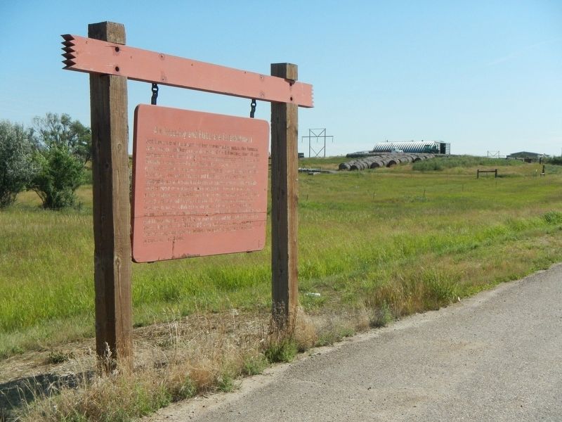
2. An Imposing and Elaborate Establishment Marker
Photographed by Karl Bodmer, circa 1833
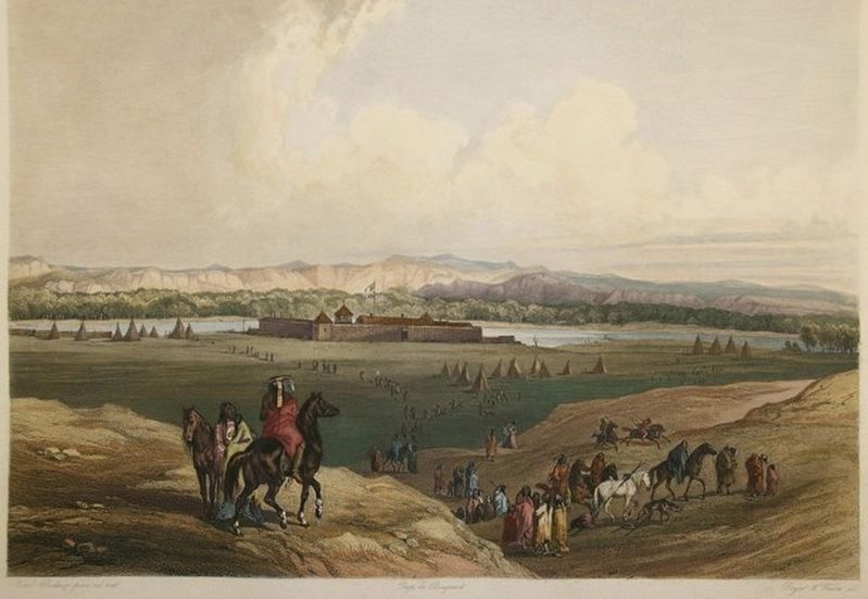
3. Fort Union
Credits. This page was last revised on December 27, 2024. It was originally submitted on November 27, 2019, by Barry Swackhamer of Brentwood, California. This page has been viewed 1,129 times since then and 97 times this year. Photos: 1, 2, 3. submitted on November 27, 2019, by Barry Swackhamer of Brentwood, California.
