
Montrose in La Crescenta-Montrose in Los Angeles County, California — The American West (Pacific Coastal)
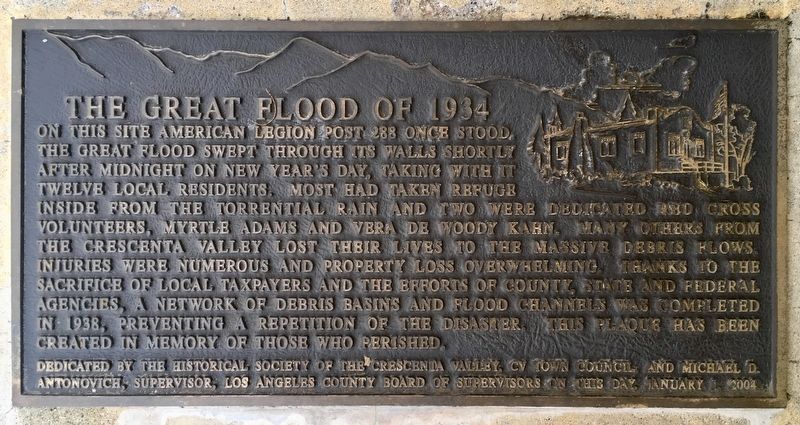
The Great Flood of 1934
Photographed by Craig Baker, May 30, 2019
1. The Great Flood of 1934 Marker
Erected 2004 by Historical Society of the Crescenta Valley; CV Town Council; and Michael D. Antonivich, Supervisor, Los Angeles County Board of Supervisors.
Topics and series. This historical marker is listed in these topic lists: Disasters • Fraternal or Sororal Organizations. In addition, it is included in the Works Progress Administration (WPA) projects series list. A significant historical date for this entry is January 1, 1934.
Location. 34° 12.839′ N,
this page online

Regionally, this marker is in Greater Los Angeles and in the Transverse Ranges. It is also on the American Pacific Coast. Globally, it is in North America, on the Ring of Fire, in the Pacific Rim, in the Western Hemisphere, in the Western World, and in the Anglosphere. Historically, it finds itself in what was once New Spain and also Mexico’s Alta California.
Other nearby markers. At least 8 other markers are within walking distance of this marker: Bonetto House (approx. 0.3 miles away); Theodore Pickens & Benjamin Briggs (approx. 0.4 miles away); Paul McCarton (approx. 0.4 miles away); St. Luke’s of the Mountains (approx. half a mile away); Montrose Shopping Park Redevelopment (approx. half a mile away); Montrose Shopping Park Association
Photographed by Craig Baker, May 30, 2019
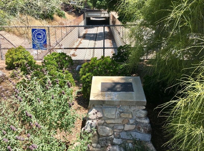
2. Marker and Flood Control Channel
Regarding The Great Flood of 1934. According to the Feb 1934 California Highway and Public Works magazine, “Several thousand C.W.A. relief workers were rushed to the flooded area to render aid to the population and salvage as much property as possible.”
The building was moved from this location one block west to 4011 La Crescenta Avenue, and is still American Legion Post 288.
Also see . . . 15 Striking Photos of The 1934 New Year’s Floods in Los Angeles. Excerpt:
In November 1933, wildfires raged through the nearby San Gabriel mountains above the Los Angeles County communities of La Crescenta, La Cañada and Montrose. During the last week of December of that year, a series of winter storms pounded the mountainside with 12 inches of rain. On New Year’s Eve, more heavy rains led to sporadic flooding.(Submitted on December 18, 2022, by J. J. Prats of Powell, Ohio.)
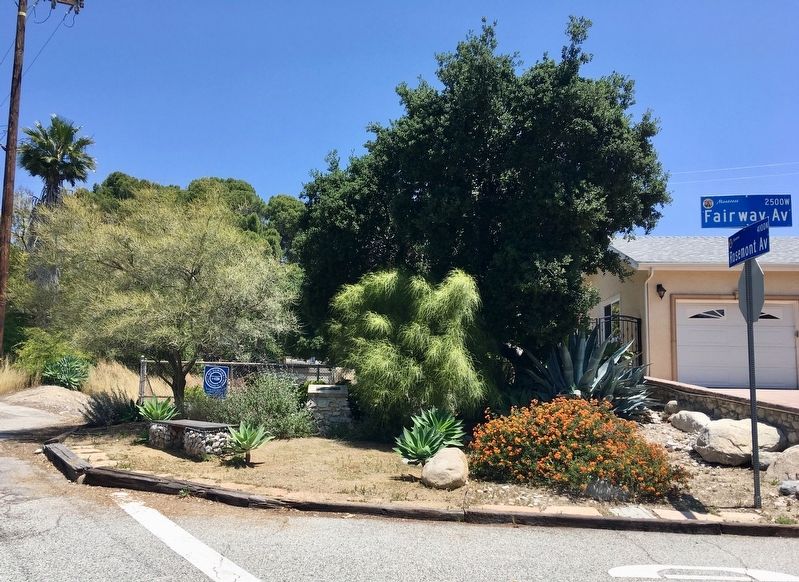
Around midnight, hillsides in at least three mountain locations collapsed sending millions of tons of mud anddebris into the Crescenta Valley neighborhoods below. More than 400 homes were destroyed in La Cañada, La Crescenta, Montrose and Tujunga. Scores of people were killed, and hundreds were left homeless. Entire families were wiped out. The mudslides that began in the mountains above La Cañada and La Crescenta carved a path of destruction all the way to the Verdugo Wash and beyond.Photographed by Craig Baker, May 30, 20193. The marker is at the fence.
Los Angeles Times (courtesy of the Charles E. Young Research Library, UCLA), 1934
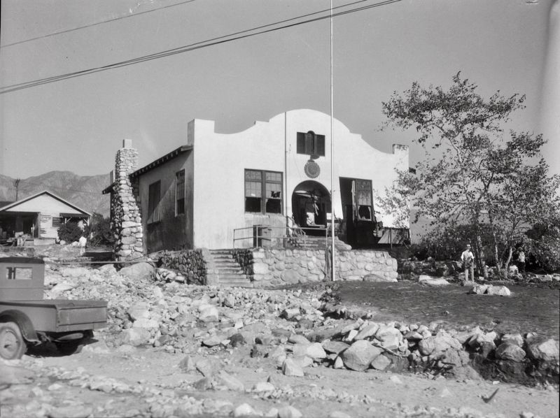
4. American Legion Hall damaged by flood and mudslide, La Crescenta-Montrose, 1934
"In November 1933, wildfires raged through the San Gabriel Mountains above the Crescenta Valley. In late December, a series of storms dropped 12 inches of rain. On New Year's Eve, heavy rains led to sporadic flooding. Around midnight, mountain hillsides collapsed sending millions of tons of mud into the Crescenta Valley neighborhoods below. More than 400 homes were destroyed in La Cañada, La Crescenta, Montrose and Tujunga. Scores of people were killed, and hundreds were left homeless....View of the American Legion Hall, damaged by flood and mudslide....The mudslide crashed into the back of the building and filled it with mud and rocks. The building was located at the intersection of Fairway Ave. and Rosemont Ave."
Credits. This page was last revised on March 21, 2024. It was originally submitted on June 1, 2019, by Craig Baker of Sylmar, California. This page has been viewed 4,321 times since then and 173 times this year. Last updated on November 29, 2019, by Craig Baker of Sylmar, California. It was the Marker of the Week January 1, 2023. Photos: 1, 2, 3. submitted on June 1, 2019, by Craig Baker of Sylmar, California. 4. submitted on June 1, 2019. • Andrew Ruppenstein was the editor who published this page.
