Near Williston in Williams County, North Dakota — The American Midwest (Upper Plains)
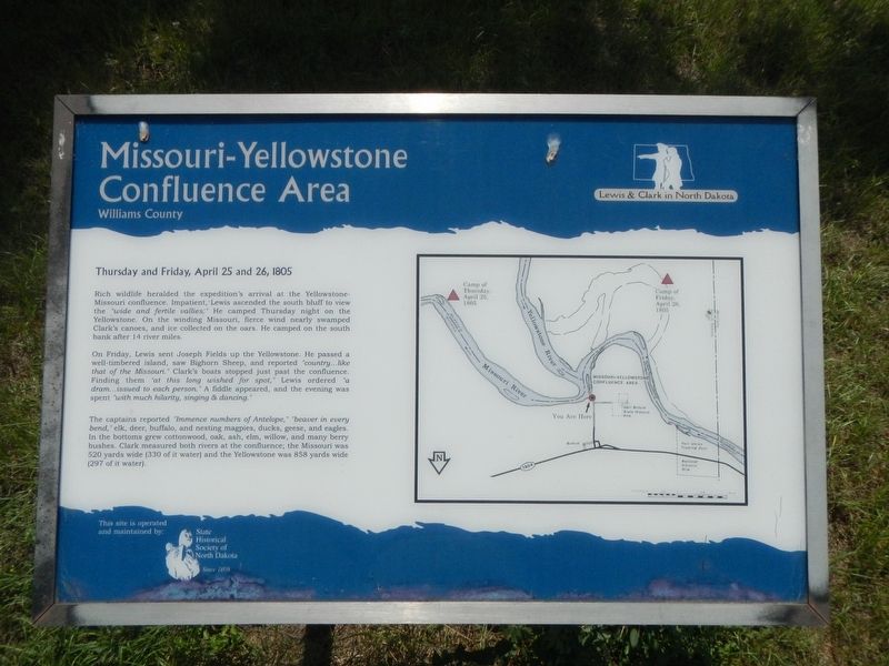
Missouri-Yellowstone Confluence Area
Williams County
— Lewis & Clark in North Dakota —
Inscription.
Thursday and Friday, April 25 and 26, 1805
Rich wildlife heralded the expedition's arrival at the Yellowstone-Missouri confluence. Impatient, Lewis ascended the south bluff to view the "wide and fertile vallies." He camped Thursday night on the Yellowstone. On the winding Missouri, fierce wind nearly swamped Clark's canoes, and ice collected on the oars. He camped on the south bank after 14 river miles.
On Friday, Lewis sent Joseph Fields up the Yellowstone. He passed a well-timbered island, saw Bighorn Sheep, and reported "country...like that of the Missouri." Clark's boats stopped just past the confluence. Finding them "at this long wished for spot," Lewis ordered "a dram...issued to each person." A fiddle appeared and the evening was spent "with much hilarity, singing & dancing."
The captains reported "Immence numbers of Antelope," "beaver in every bend," elk, deer buffalo, and nesting magpies, ducks, geese, and eagles. In the bottoms grew cottonwood, oak, ash, elm, willow, and many berry bushes. Clark measured both rivers at the confluence; the Missouri was 520 yards wide (330 of it water) and the Yellowstone was 858 yards wide (297 of it water).
Erected by State Historical Society of North Dakota.
Topics and series. This historical marker is listed in these topic lists: Exploration • Waterways & Vessels. In addition, it is included in the Lewis & Clark Expedition series list. A significant historical date for this entry is April 25, 1805.
Location. 47° 59.113′ N, 103° 59.248′ W. Marker is near Williston, North Dakota, in Williams County. Marker can be reached from 39th Lane Northwest near 153rd Avenue Northwest. Touch for map. Marker is at or near this postal address: 15349 39th Lane Northwest, Williston ND 58801, United States of America. Touch for directions.
Other nearby markers. At least 8 other markers are within walking distance of this marker. A Beaver Boom (within shouting distance of this marker); Missouri-Yellowstone Confluence (within shouting distance of this marker); Mosquitoes (about 300 feet away, measured in a direct line); Fur Trade Forts (about 300 feet away); Buford-Trenton Project (about 300 feet away); Lewis & Clark's America (about 300 feet away); The Confluence (about 300 feet away); Oxbow Wetland (about 300 feet away). Touch for a list and map of all markers in Williston.
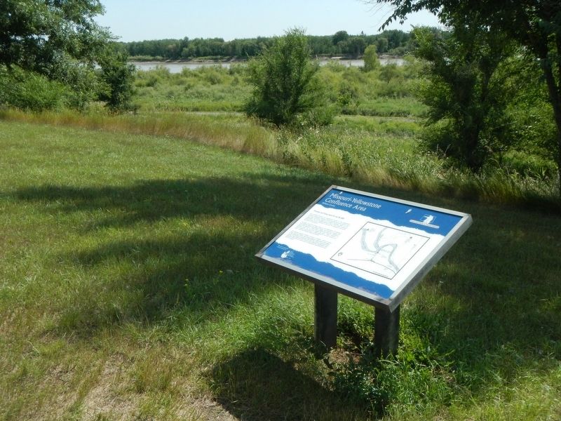
More about this marker. The marker is on the grounds of the Missouri-Yellowstone Confluence Interpretive Center.
Also see . . . When the Yellowstone meets the Missouri -- Great Falls Tribune. Some of Montana’s earliest recorded history was played out in this “Confluence Country,” here on the eastern fringes of our state where the Yellowstone ends its run. On April 27, 1805, the Corps of Discovery, after having spent a few days at the joining of the two rivers, first entered what would become Montana Territory. From about 1828 until 1867, the stately Fort Union held supremacy over the fur trade business of the Upper Missouri. (Submitted on November 29, 2019, by Barry Swackhamer of Brentwood, California.)
Credits. This page was last revised on November 29, 2019. It was originally submitted on November 29, 2019, by Barry Swackhamer of Brentwood, California. This page has been viewed 219 times since then and 18 times this year. Photos: 1, 2. submitted on November 29, 2019, by Barry Swackhamer of Brentwood, California.

