Occoquan in Prince William County, Virginia — The American South (Mid-Atlantic)
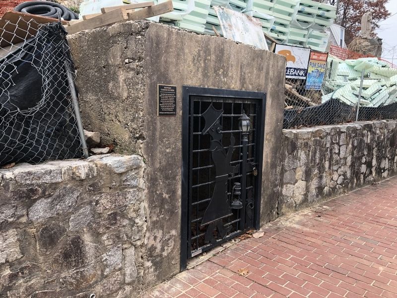
Historic Carbide Bunker
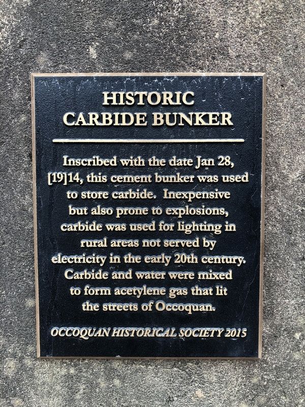
Erected 2015 by Occoquan Historical Society.
Topics. This historical marker is listed in this topic list: Charity & Public Work. A significant historical date for this entry is January 28, 1914.
Location. 38° 41.118′ N, 77° 15.728′ W. Marker is in Occoquan, Virginia, in Prince William County. It is on Mill Street 0.1 miles west of Ellicott Street, on the left when traveling west. Touch for map. Marker is at or near this postal address: 408 Mill Street, Occoquan VA 22125, United States of America. Touch for directions.

Regionally, this marker is in the Washington Metropolitan Area, in Northern Virginia, and in the Piedmont. It is also in the American South, specifically in the Upper South, in the Mid-Atlantic, and on the Eastern Seaboard. Globally, it is in the North Atlantic Region, North America, the Western Hemisphere,
this page online
Other nearby markers. At least 8 other markers are within walking distance of this marker: "Rockledge" (a few steps from this marker); Ellicott’s Mill (a few steps from this marker); Occoquan (within shouting distance of this marker); Historic Occoquan (within shouting distance of this marker); Gearwheel Assembly (within shouting distance of this marker); Town of Occoquan (within shouting distance of this marker); a different marker also named Historic Occoquan (within shouting distance of this marker); The Road to Yorktown (within shouting distance of this marker). Touch for a list and map of all markers in Occoquan.
Credits. This page was last revised on November 30, 2019. It was originally submitted on November 30, 2019, by Devry Becker Jones of Washington, District of Columbia. This page has been viewed 709 times since then and 44 times this year. Photos: 1, 2. submitted on November 30, 2019, by Devry Becker Jones of Washington, District of Columbia.
