Bristow in Prince William County, Virginia — The American South (Mid-Atlantic)
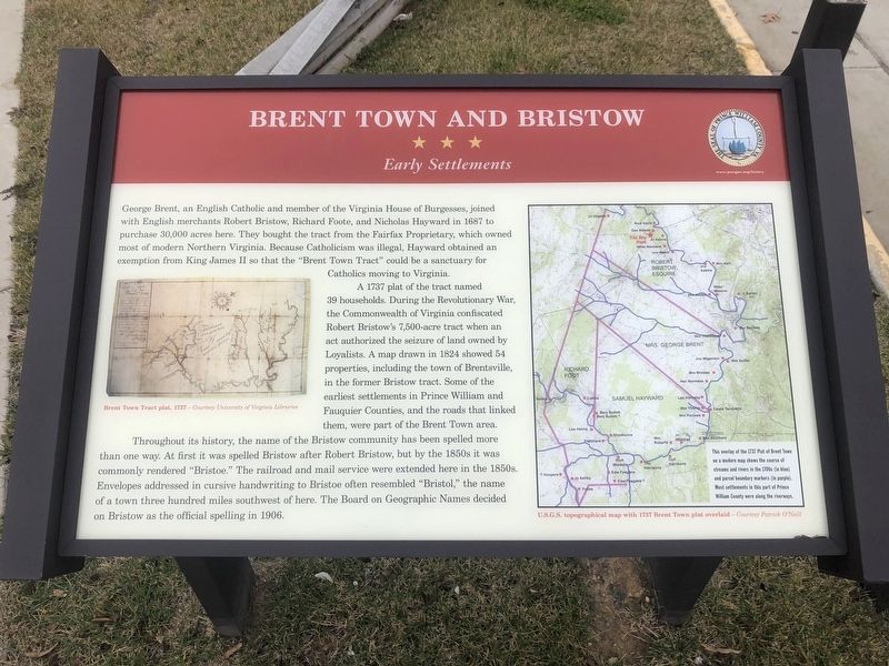
Brent Town and Bristow
Early Settlements
A 1737 plat of the tract named 39 households. During the Revolutionary War, the Commonwealth of Virginia confiscated Robert Bristow's 7,500-acre tract when an act authorized the seizure of land owned by Loyalists. A map drawn in 1824 showed 54 properties, including the town of Brentsville, in the former Bristow tract. Some of the earliest settlements in Prince William and Fauquier Counties, and the roads that linked them, were part of the Brent Town area.
Throughout its history, the name of the Bristow community has been spelled more than one way. At first it was spelled Bristow after Robert Bristow, but by the 1850s it was commonly rendered "Bristoe." The railroad and mail service were extended here in the 1850s. Envelopes addressed in cursive handwriting to Bristoe often resembled "Bristol," the name of a town three hundred miles southwest of here. The Board on Geographic Names decided on Bristow as the official spelling in 1906.
Topics. This historical marker is listed in these topic lists: Churches & Religion • Colonial Era • Settlements & Settlers. A significant historical year for this entry is 1687.
Location. 38° 43.95′ N, 77° 32.712′ W. Marker is in Bristow, Virginia, in Prince William County. Marker is on Bristow Road (Virginia Route 619) just south of Nokesville Road (Virginia Route 28), on the left when traveling south. Touch for map. Marker is at or near this postal address: 11627 Nokesville Road, Bristow VA 20136, United States of America. Touch for directions.
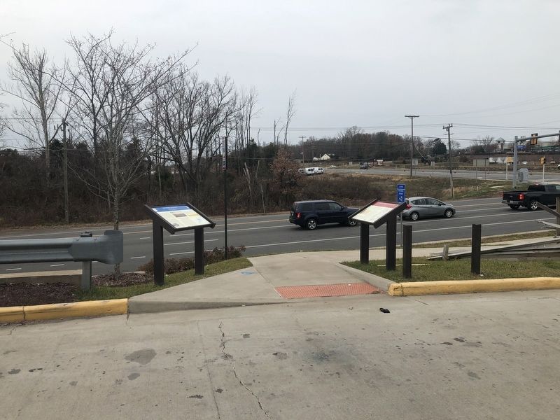
Other nearby markers. At least 8 other markers are within walking distance of this marker. Bristoe Station (here, next to this marker); Old Chapel Spring (about 500 feet away, measured in a direct line); Lee Catches Meade (approx. 0.4 miles away); Confederate Cemeteries (approx. 0.4 miles away); Bristoe 1863 Trail (approx. 0.4 miles away); Lee's Last Move North: The Bristoe Station Campaign of 1863 (approx. 0.4 miles away); Battle of Bristoe Station (approx. 0.4 miles away); Road to the Valley (approx. 0.4 miles away). Touch for a list and map of all markers in Bristow.
Credits. This page was last revised on December 1, 2019. It was originally submitted on December 1, 2019, by Devry Becker Jones of Washington, District of Columbia. This page has been viewed 378 times since then and 61 times this year. Photos: 1, 2. submitted on December 1, 2019, by Devry Becker Jones of Washington, District of Columbia.

