Near Williston in Williams County, North Dakota — The American Midwest (Upper Plains)
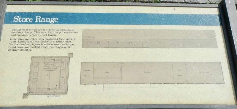
Store Range
Photographed by Barry Swackhamer, August 16, 2019
1. Store Range Marker
Here, furs and robes were processed for shipment to St. Louis. Meat was stored in the center room. Visitors and employees bought necessities in the retail store and packed away their baggage in another chamber.
Erected by National Park Service, U.S. Department of the Interior.
Topics. This historical marker is listed in this topic list: Forts and Castles.
Location. 47° 59.94′ N, 104° 2.434′ W. Marker is near Williston, North Dakota, in Williams County. It can be reached from Mondak Backroad 1 near 143rd Avenue Northwest (State Route 1804). Touch for map. Marker is at or near this postal address: 15550 North Dakota 1804, Williston ND 58801, United States of America. Touch for directions.

Regionally, this marker is in the Bakken Oil Patch. It is also in the American Lewis & Clark Corridor, on the prairies, and on the Northern Plains. Globally, it is in North America, the Western Hemisphere, the Western World, and the Anglosphere.
this page online
Other nearby markers. At least 8 other markers are within walking distance of this marker: Front Gate (a few steps from this marker); Riverboat Landing (a few steps from this marker); Bourgeois House (within shouting distance of this marker); Outpost on the Missouri (within shouting distance of this marker); Dwelling Range (within shouting distance of this marker); The Prairie (about 300 feet away, measured in a direct line); Lewis and Clark Trail (about 600 feet away); Gravel Pits (about 600 feet away). Touch for a list and map of all markers in Williston.
More about this marker. This marker is on the interior grounds of Fort Union Trading Post National Historic
Site.
Photographed by Barry Swackhamer, August 16, 2019
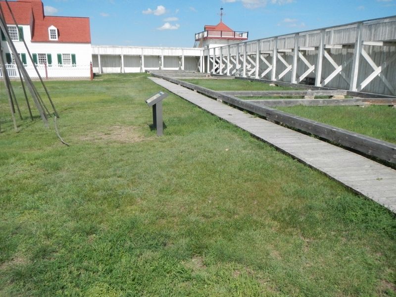
2. Store Range Foundation and Marker
Photographed by Barry Swackhamer, August 16, 2019
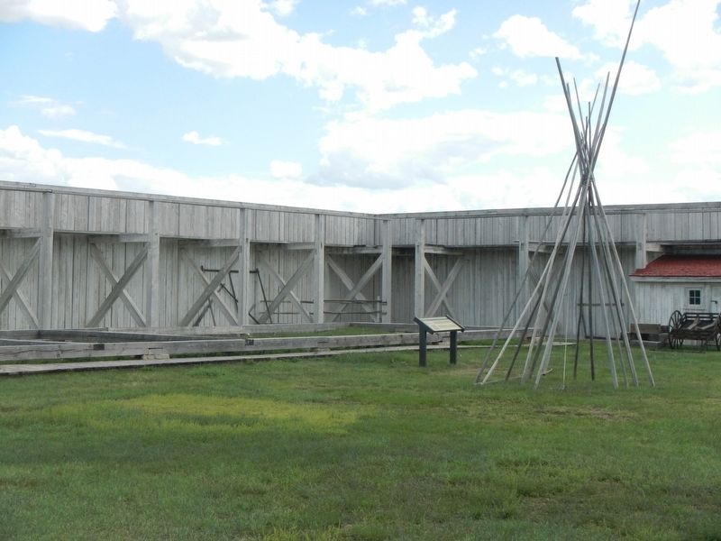
3. Store Range Foundation
Photographed by Barry Swackhamer, August 16, 2019
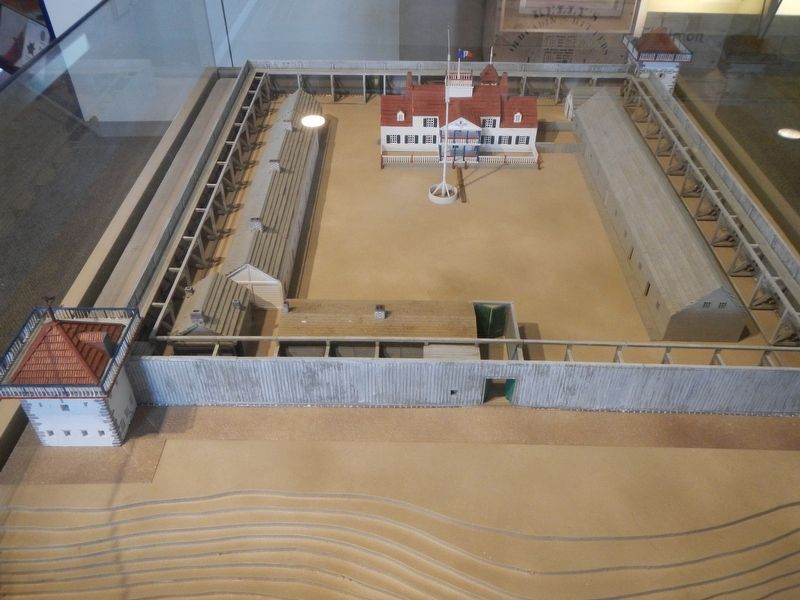
4. Model of Fort Union
The Store Range is on the right.
Credits. This page was last revised on December 4, 2019. It was originally submitted on December 4, 2019, by Barry Swackhamer of Brentwood, California. This page has been viewed 302 times since then and 26 times this year. Photos: 1, 2, 3, 4. submitted on December 4, 2019, by Barry Swackhamer of Brentwood, California.
