Chuckanut Drive
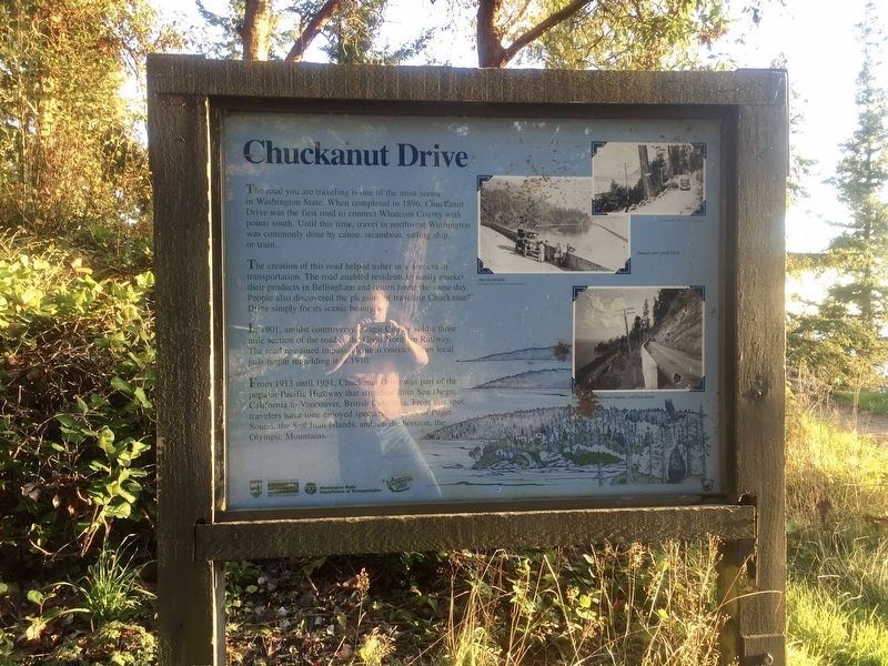
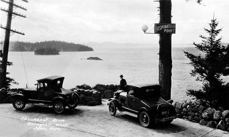
The creation of this road helped usher in a new era of transportation. The road enabled residents to easily market their products in Bellingham and return home the same day. People also discovered the pleasure of traveling Chuckanut Drive simply for its scenic beauty.
In 1901, amidst controversy, Skagit County sold a three mile section of the road to the Great Northern Railway. The road remained impassable until convicts from local jails began rebuilding it in 1910.
From 1913 until 1931, Chuckanut Drive was part of the
popular Pacific Highway that stretched from San Diego,
California to Vancouver, British Columbia. From this spot,
travelers have long enjoyed spectacular views of Puget
Sound, the San Juan Islands, and, on the horizon, the
Olympic Mountains.
Erected by Washington State Parks, Washington State
this page online
Topics. This historical marker is listed in this topic list: Roads & Vehicles. A significant historical year for this entry is 1896.
Location. 48° 37.586′ N, 122° 27.781′ W. Marker is in Bow, Washington, in Skagit County. It is at the intersection of Chuckanut Drive (Washington Route 11) and Chuckanut Mountain Drive, on the left when traveling south on Chuckanut Drive. Touch for map. Marker is at or near this postal address: 1221 Chuckanut Drive, Bow WA 98232, United States of America. Touch for directions.

Regionally, this marker is in Washington’s Puget Sound Region. It is also on the American Pacific Coast, in the Pacific Northwest, and in the Lewis & Clark Corridor. Globally, it is in North America, in the Cascade Range, in the Inside Passage, on the Ring of Fire, in the Pacific Rim, in the Western Hemisphere, in the Western World, and in the Anglosphere.
Other nearby markers. At least 8 other markers are within 7 miles of this marker, measured as the crow flies: Daylighting Padden Creek (approx. 6.3 miles away); Charles X. Larrabee
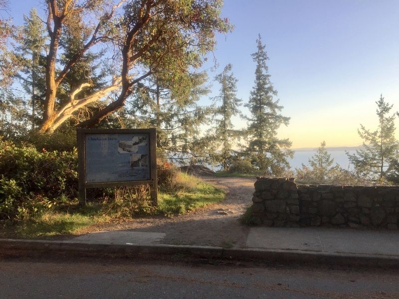
More about this marker. The marker is located at a scenic lookout (with parking), and is relatively easy to find.
Credits. This page was last revised on January 27, 2020. It was originally submitted on December 6, 2019, by Andrew Ruppenstein of Lamorinda, California. This page has been viewed 766 times since then and 35 times this year. Photos: 1, 2, 3. submitted on December 6, 2019, by Andrew Ruppenstein of Lamorinda, California.
