Mascoutah in St. Clair County, Illinois — The American Midwest (Great Lakes)
U.S. Center of Population 1970-1980
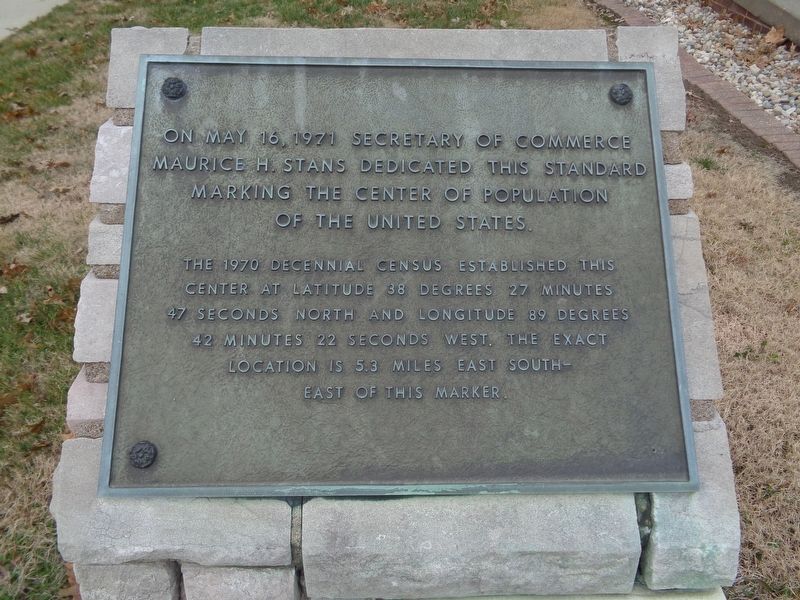
On May 16, 1971 Secretary of Commerce Maurice H. Stans dedicated this standard marking the center of population of the United States.
The 1970 decennial census established this center at latitude 38 degrees 27 minutes 47 seconds north and longitude 89 degrees 42 minutes 22 seconds west. The exact location is 5.3 miles east southeast of this marker.
Erected 1971.
Topics. This historical marker is listed in this topic list: Government & Politics. A significant historical date for this entry is May 6, 1971.
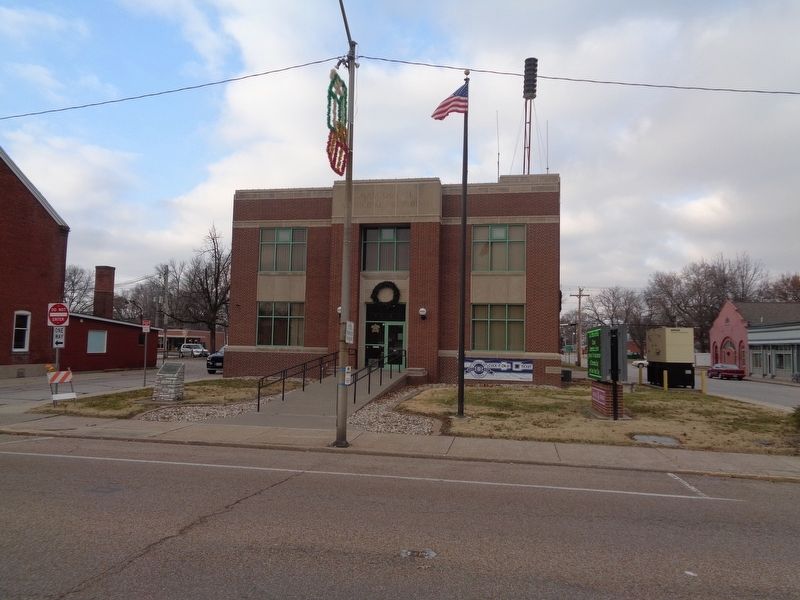
Location. 38° 29.423′ N, 89° 47.866′ W. Marker is in Mascoutah, Illinois, in St. Clair County. Marker is on West Main Street (Illinois Route 177) just west of North Railway Street, on the right when traveling west. Marker is in front of Mascoutah City Hall. Touch for map. Marker is at or near this postal address: 3 West Main Street, Mascoutah IL 62258, United States of America. Touch for directions.
Other nearby markers. At least 8 other markers are within 5 miles of this marker, measured as the crow flies. Jenkins Publishing Company (approx. 0.3 miles away); Robert E Hullium (approx. 0.3 miles away); Berger-Kiel House (approx. 0.9 miles away); To Honor Those Who Served Our Country (approx. 1.2 miles away); Illinois Remembers POW/MIA (approx. 4.2 miles away); CT- 39 Sabreliner (approx. 4.7 miles away); Frank S. Scott (approx. 4.9 miles away); 1968 Air Mobility Command (approx. 4.9 miles away). Touch for a list and map of all markers in Mascoutah.
Also see . . .
1. Remembering former exact center of country. St. Louis Post-Dispatch article, published on May 21, 2010, looks back on the town of Mascoutah's forgotten claim to fame, interviewing residents who remembered the occasion (Submitted on December 10, 2019, by Jason Voigt of Glen Carbon, Illinois.)
2. 'Population Center' of U.S. Edges Westward in Illinois. New York Times article (written by B. Drummond Ayres, Jr., published on April 27, 1971) interviewing Lawrence Friederich, who owned the farmland where the exact spot of the U.S. Center of Population stood at the time. (Submitted on December 10, 2019, by Jason Voigt of Glen Carbon, Illinois.)
Credits. This page was last revised on March 27, 2024. It was originally submitted on December 9, 2019, by Jason Voigt of Glen Carbon, Illinois. This page has been viewed 265 times since then and 20 times this year. Photos: 1, 2. submitted on December 10, 2019, by Jason Voigt of Glen Carbon, Illinois. • Devry Becker Jones was the editor who published this page.

