Near Anza in Riverside County, California — The American West (Pacific Coastal)
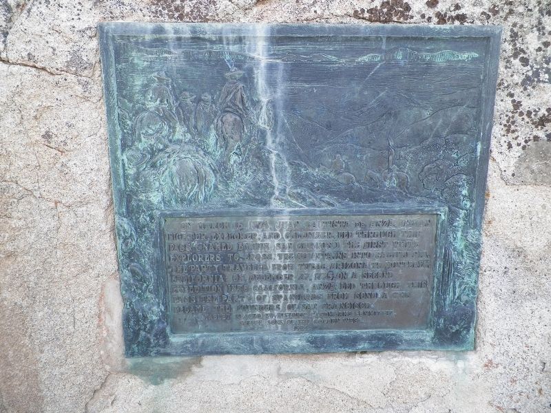
De Anza Camp
San Carlos Pass
Erected 1924 by Native Sons of the Golden West, Historic Landmarks Committee. (Marker Number 103.)
Topics and series. This historical marker is listed in these topic lists: Exploration • Settlements & Settlers. In addition, it is included in the California Historical Landmarks, the Juan Bautista de Anza National Historic Trail, and the Native Sons/Daughters of the Golden West series lists. A significant historical date for this entry is March 16, 1774.
Location. 33° 29.643′ N, 116° 36.369′ W. Marker is near Anza, California, in Riverside County. Marker can be reached from the intersection of Coyote Canyon Road and Mangalar Road. Touch for map. Marker is at or near this postal address: 60901 Coyote Canyon Road, Anza CA 92539, United States of America. Touch for directions.
Other nearby markers. At least 8 other markers are within 13 miles of this marker, measured as the crow flies. Hamilton School, Anza (approx. 5.8 miles away); Kenworthy (approx. 12.1 miles away); Santa Catarina (approx. 12.7 miles away); Historic Lake Hemet Dam (approx. 12.8 miles away); U.S. Border Patrol - Theodore L. Newton, Jr. and George F. Azrak (approx. 13 miles away); Camp Wright (approx. 13 miles away); Welcome To Oak Grove Station (approx. 13 miles away); Oak Grove Stage Station (approx. 13.1 miles away).
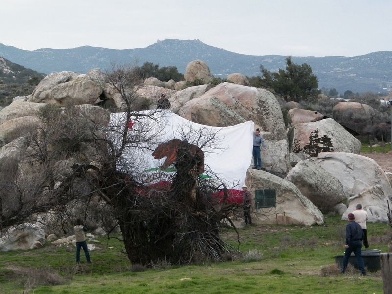
More about this marker. The marker is on private land, please respect that. Access may be arranged through The Archaeological Conservancy www.archaeologicalconservancy.org
Regarding De Anza Camp. This is California Historical Landmark No. 103 — Site of De Anza Camp, March 1774.
Credits. This page was last revised on December 11, 2019. It was originally submitted on February 25, 2017, by James King of San Miguel, California. This page has been viewed 628 times since then and 54 times this year. Last updated on December 11, 2019, by Craig Baker of Sylmar, California. Photos: 1, 2, 3. submitted on February 25, 2017, by James King of San Miguel, California. • J. Makali Bruton was the editor who published this page.


