South Village in Manhattan in New York County, New York — The American Northeast (Mid-Atlantic)
Downing Street Playground
0.223 acres
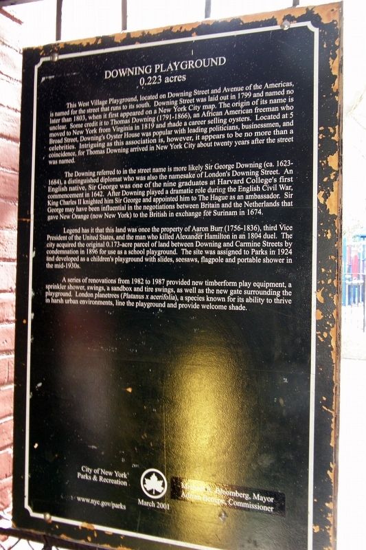
This West Village playground, located on Downing Street and Avenue of the Americas, is named for the street that runs to its south. Downing Street was laid out in 1799 and named no later than 1803, when it first appeared on a New York City map. The origin of its name is unclear. Some credit it to Thomas Downing (1791-1866), an African-American freeman who moved to New York from Virginia in 1819 and made a career selling oysters. Located at 5 Broad Street, Downing’s Oyster House was popular with leading politicians, businessmen, and celebrities. Intriguing as this association is, however, it appears to be no more than a coincidence, for Thomas Downing arrived in New York City about twenty years after the street was named.
The Downing referred to in the street name is more likely Sir George Downing (ca. 1623-1684), a distinguished diplomat who was also the namesake of London’s Downing Street. An English native, Sir George was one of the nine graduates at Harvard College’s first commencement in 1642. After Downing played a dramatic role during the English Civil War, King Charles II knighted him Sir George and appointed him to The Hague as an ambassador. Sir George may have been influential in the negotiations between Britain and the Netherlands that gave New Orange (now New York) to the British in exchange for Surinam in 1674.
Legend has it that this land was once the property of Aaron Burr (1756-1836), third Vice President of the United States, and the man who killed Alexander Hamilton in an 1804 duel. The city acquired the original 0.173-acre parcel of land between Downing and Carmine Streets by condemnation in 1896 for use as a school playground. The site was assigned to NYC Parks in 1924 and developed as a children’s playground with slides, seesaws, flagpole, and a portable shower in the mid-1930s.
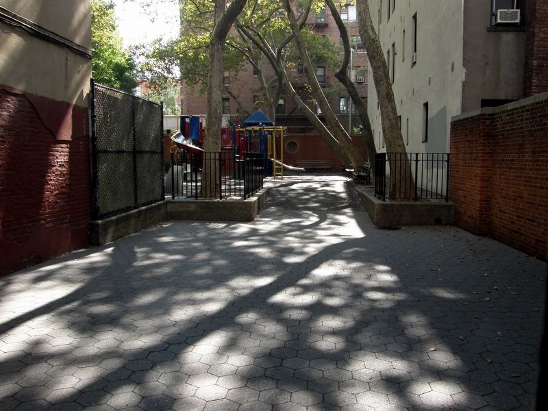
A series of renovations from 1982 to 1987 provided updated play equipment, a sprinkler shower, swings, a sandbox, and tire swings, as well as the new gate surrounding the playground. London planetrees (sic) (Plantanus x acerifolia), a species known for its ability to thrive in harsh urban environments, line the playground and provide welcome shade.
City of New York Parks & Recreation
Michael R. Bloomberg, Mayor
Adrian Benepe, Commissioner
March 2001
Erected 2001 by City of New York Parks & Recreation.
Topics. This historical marker is listed in this topic list: Parks & Recreational Areas. A significant historical year for this entry is 1799.
Location. 40° 43.804′ N, 74° 0.178′ W. Marker is in Manhattan, New York, in New York County. It is in South Village. Marker is on Carmine Street near Bleeker
Street, on the right when traveling east. Touch for map. Marker is in this post office area: New York NY 10014, United States of America. Touch for directions.
Other nearby markers. At least 8 other markers are within walking distance of this marker. Father Demo Square (within shouting distance of this marker); Mascha Kaleko (about 500 feet away, measured in a direct line); Site of the San Remo Café (1925 - 1967) (about 600 feet away); Marianne Moore (about 600 feet away); MacDougal-Sullivan Gardens Historic District (about 600 feet away); James Vandenburgh’s Home (about 700 feet away); 70 Bedford Street (about 700 feet away); Playground of the Americas (about 700 feet away). Touch for a list and map of all markers in Manhattan.
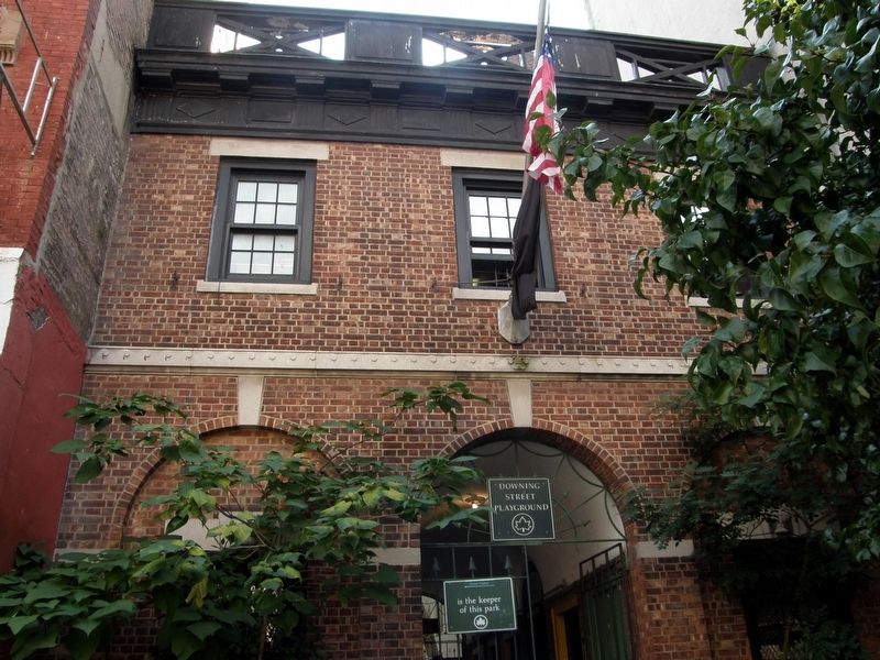
More about this marker. Despite being the "Downing Street Playground", the only entrance is on Carmine Street.
Also see . . . New York City Department of Parks & Recreation, Downing Street Playground. (Submitted on December 11, 2019, by Larry Gertner of New York, New York.)
Credits. This page was last revised on January 31, 2023. It was originally submitted on December 11, 2019, by Larry Gertner of New York, New York. This page has been viewed 153 times since then and 17 times this year. Photos: 1, 2, 3. submitted on December 11, 2019, by Larry Gertner of New York, New York. • Michael Herrick was the editor who published this page.


