Seneca in Cayuga County, New York — The American Northeast (Mid-Atlantic)
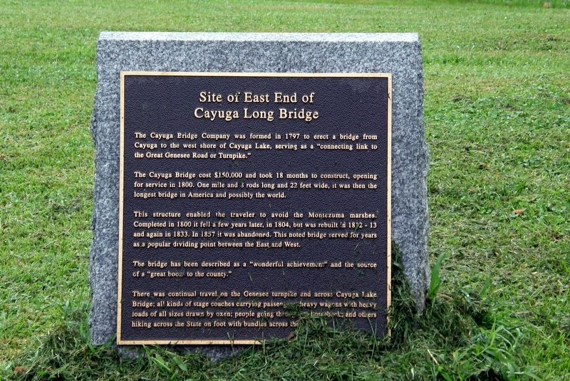
Site of East End of the Cayuga Long Bridge
Photographed by Larry Gertner, August 28, 2019
1. Site of East End of the Cayuga Long Bridge Marker
The Cayuga Bridge cost $150,000 and took 18 months to construct, opening for service in 1800. One mile and 3 rods long and 22 feet wide, it was then the longest bridge in America and possibly the world.
This structure enabled the traveler to avoid the Montezuma marshes. Completed in 1800 it fell a few years later, in 1804, but was rebuilt in 1812-1813 and again in 1833. In 1857 it was abandoned. This noted bridge served for years as a popular dividing point between the East and West.
There was continual travel on the Genesee Turnpike and across Cayuga Lake Bridge; all kinds of stage coaches carrying passengers, heavy wagons with heavy loads of all kind drawn by oxen; people going through on horseback; and others hiking across the state on foot with bundles across the bridge.
Topics. This historical marker is listed in this topic list: Bridges & Viaducts. A significant historical year for this entry is 1797.
Location. 42° 55.115′ N, 76° 43.777′ W.
this page online

Regionally, this marker is in Upstate New York, specifically in Central New York, and in the Syracuse Metropolitan Area. It is also in the American Northeast and in the Mid-Atlantic. Globally, it is in North America, the Western Hemisphere, the Western World, and the Anglosphere. Historically, it finds itself in what was once the Haudenosaunee (Iroquois) Confederacy, New Netherland, and one of the original Thirteen Colonies.
Other nearby markers. At least 8 other markers are within 3 miles of this marker, measured as the crow flies: Site of Cayuga Long Bridge (here, next to this marker); Sullivan-Clinton Campaign (a few steps from this marker); George A. Wyman (a few steps from this marker); Bridgeport (approx. 1.1 miles away); Eisenhower College (approx. 1.4 miles away); The Cobblestone or Ferry Farm (approx. 1.6 miles away); Gansevoort Trail
Photographed by Larry Gertner, August 28, 2019
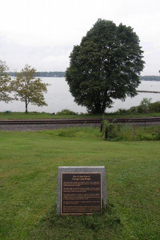
2. Site of East End of the Cayuga Long Bridge Marker
Cayuga Lake in the distance.
Also see . . . The Story of Cayuga Bridge. (Submitted on December 12, 2019, by Larry Gertner of New York, New York.)
Photographed by Unknown
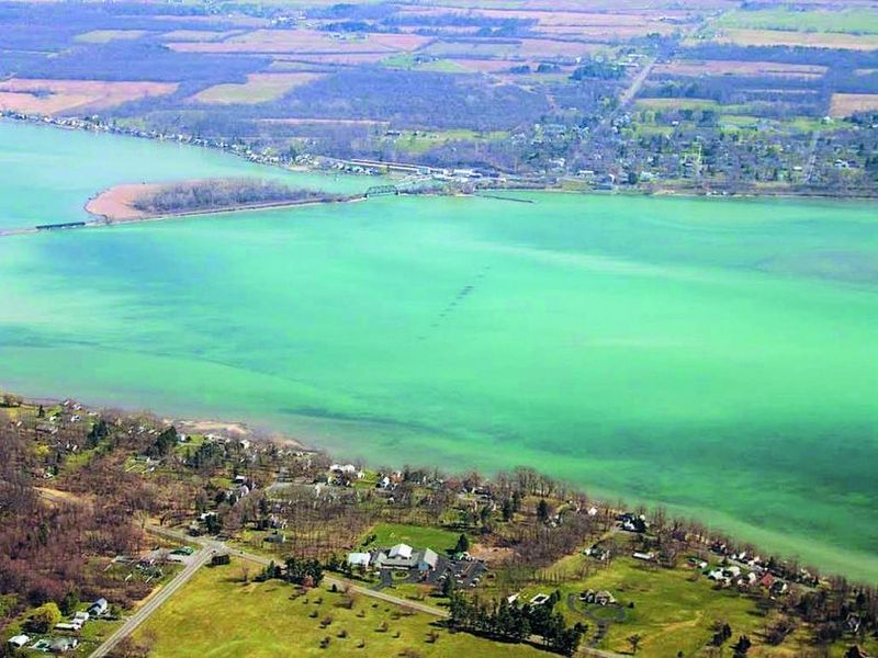
3. Cayuga Long Bridge site
The piers are still visible from the air.
Photographed by Larry Gertner, August 28, 2019
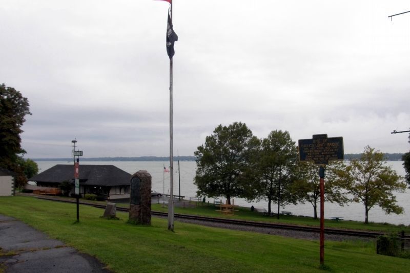
4. Markers on Railroad Street
Credits. This page was last revised on December 12, 2019. It was originally submitted on December 12, 2019, by Larry Gertner of New York, New York. This page has been viewed 947 times since then and 41 times this year. Photos: 1, 2, 3, 4. submitted on December 12, 2019, by Larry Gertner of New York, New York. • Michael Herrick was the editor who published this page.
