
Kaskaskia in Randolph County, Illinois — The American Midwest (Great Lakes)
Illinois in the American Revolution
Photographed by Jason Voigt, December 12, 2019
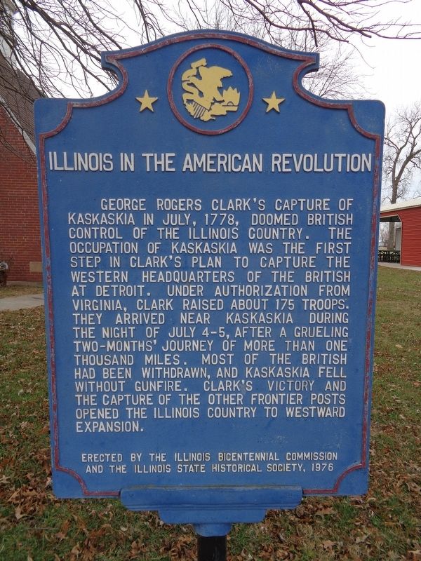
1. Illinois in the American Revolution Marker
George Rogers Clark's capture of Kaskaskia in July, 1778, doomed British control of the Illinois country. The occupation of Kaskaskia was the first step in Clark's plan to capture the western headquarters of the British at Detroit. Under authorization from Virginia, Clark raised about 175 troops. They arrived near Kaskaskia during the night of July 4-5, after a grueling two-months' journey of more than one thousand miles. Most of the British had been withdrawn, and Kaskaskia fell without gunfire. Clark's victory and the capture of the other frontier posts opened the Illinois country to westward expansion.
Erected 1976 by Illinois Bicentennial Commission and The Illinois State Historical Society.
Topics and series. This historical marker is listed in this topic list: War, US Revolutionary. In addition, it is included in the Illinois State Historical Society, and the The Spirit of ’76, America’s Bicentennial Celebration series lists. A significant historical month for this entry is July 1778.
Location. 37° 55.305′ N, 89° 54.875′ W. Marker is in Kaskaskia, Illinois, in Randolph County. It is at the intersection of 1st Street
this page online

Regionally, this marker is in Southern Illinois — Little Egypt. It is also in the American Midwest, in the Corn Belt, and in the Great River Road Region. Globally, it is in North America, the Western Hemisphere, the Western World, and the Anglosphere. Historically, it finds itself in what was once the Viceroyalty of New France, the territory of the Mississippian Culture, and the Northwest Territory.
Other nearby markers. At least 8 other markers are within 3 miles of this marker, measured as the crow flies: The Liberty Bell of the West (a few steps from this marker); Lewis and Clark in Kaskaskia (a few steps from this marker); Lafayette's Tour (within shouting distance of this marker); LeVasseur Altar (within shouting distance of this marker); Colonial Dames XVII Century
Photographed by Jason Voigt, December 12, 2019
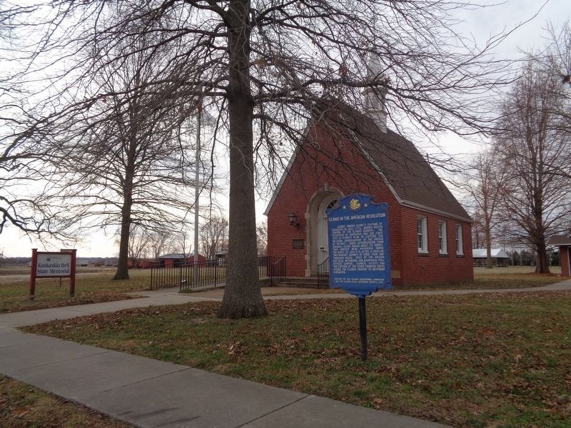
2. Illinois in the American Revolution Marker
Kaskaskia Bell State Memorial site is in the background
More about this marker. This is the only marker from the Illinois State Historical Society (series) that is west of the Mississippi River.
Regarding Illinois in the American Revolution. Access to Kaskaskia Island is only in Missouri, from the town of St. Mary. Road signs will point towards the direction of the Kaskaskia Bell, which is five miles from the bridge that separates Illinois and Missouri. Because of the island being surrounded by two parts of the Mississippi River, it is vulnerable to flooding. It is best to check with local weather listings before accessing Kaskaskia.
Credits. This page was last revised on September 6, 2025. It was originally submitted on December 12, 2019, by Jason Voigt of Glen Carbon, Illinois. This page has been viewed 525 times since then and 48 times this year. Photos: 1, 2. submitted on December 12, 2019, by Jason Voigt of Glen Carbon, Illinois. • Michael Herrick was the editor who published this page.
