Trenton in Wayne County, Michigan — The American Midwest (Great Lakes)
Battle of Monguagon
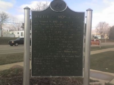
Battle of Monguagon
On August 9, 1812, a force of about 600 American troops, regulars and militia, moved down the River Road in an attempt to reach Frenchtown (Monroe) and bring back supplies needed desperately by the Americans in Detroit. At a point that cannot now be exactly located, near the Indian village of Monguagon, American scouts ran into a British and Indian force of about 400 hundred men, led by Capt. Adam Muir and Tecumseh, blocking the road south. Lieut. Col. James Miller quickly brought up his Americans and, in a running battle, drove the enemy back through present-day Trenton until the British pulled back across the river into Canada. Losses were heavy. Ironically, this the only battle won by the Americans in Michigan during the War of 1812, was followed a week later by Hull's surrender of Detroit.
Erected 1962 by State of Michigan. (Marker Number S199.)
Topics and series. This historical marker is listed in these topic lists: Native Americans • War of 1812. In addition, it is included in the Michigan Historical Commission series list. A significant historical year for this entry is 1812.
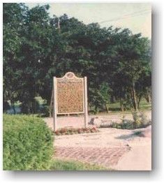
Location. This marker has been replaced by another marker nearby. It was located near 42° 7.882′ N, 83° 11.103′ W. Marker was in Trenton, Michigan, in Wayne County. Marker was on West Jefferson Avenue, 0.4 miles south of Slocum Street, on the right when traveling north. Touch for map. Marker was in this post office area: Trenton MI 48183, United States of America. Touch for directions.
Other nearby markers. At least 8 other markers are within 2 miles of this location, measured as the crow flies. Michigan Wyandot and Monguagon / Battle of Monguagon (a few steps from this marker); The Old Burial Ground (approx. half a mile away); Historical Shipyard Site (approx. 0.6 miles away); Times of Change (approx. 0.8 miles away); First Trenton High School (approx. 0.8 miles away); Wagstaff-Duddleston Home (approx. one mile away); The Detroit River / Detroit River Recovery (approx. 1.1 miles away); The Rucker-Stanton House (approx. 1.6 miles away). Touch for a list and map of all markers in Trenton.
Related markers. Click here for a list of markers that are related to this marker. To better understand the relationship, study each marker in the order shown.
Credits. This page was last revised on June 26, 2022. It was originally submitted on December 10, 2008, by Al Barrera of Brownstown, Michigan. This page has been viewed 2,525 times since then and 81 times this year. Last updated on September 26, 2021, by J.T. Lambrou of New Boston, Michigan. Photos: 1, 2. submitted on December 10, 2008, by Al Barrera of Brownstown, Michigan. • Mark Hilton was the editor who published this page.

