Shasta in Shasta County, California — The American West (Pacific Coastal)
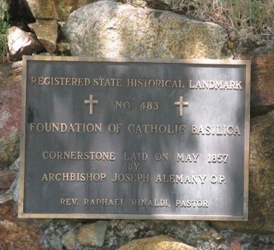
Foundation of Catholic Basilica
Registered State Historical Landmark No 483
Photographed by Syd Whittle, May 8, 2008
1. Foundation of Catholic Basilica Marker
by
Archbishop Joseph Alemany O.P.
Reverand Raphael Rinaldi, Pastor
Topics and series. This historical marker is listed in this topic list: Religion & Religious Structures. In addition, it is included in the California Historical Landmarks series list. A significant historical month for this entry is May 1857.
Location. 40° 35.561′ N, 122° 29.324′ W. Marker is in Shasta, California, in Shasta County. It can be reached from High Street. Marker is at the intersection of Red Bluff Road and Crocker Alley. Touch for map. Marker is in this post office area: Shasta CA 96087, United States of America. Touch for directions.

Regionally, this marker is in California’s Sacramento Valley, specifically in the Central Valley, and in the Shasta Cascade. It is also on the American Pacific Coast. Globally, it is in North America, in the Cascade Range, on the Ring of Fire, in the Pacific Rim, in the Western Hemisphere, in the Western World, and in the Anglosphere. Historically, it finds itself in what was once New Spain and also Mexico’s Alta California.
Other nearby markers. At
this page online
Regarding Foundation of Catholic Basilica. The Registered California Historical Landmark description is:
Father Rinaldi's Foundation of 1856.
In the summer of 1853 Archbishop Alemany of San Francisco sent Father Florian Schwenninger to take over the mission of Shasta County. In the later part of 1853 a small wooden church was built. In 1855 Father Schwenninger moved over to Weaverville and Shasta's new priest, Father Raphael Rinaldi, decided to build a structure of cut stone to replace the small wooden church that had served since 1853. In 1857 the cornerstone of the church was laid, but for some reason its walls never
Photographed by Syd Whittle, May 8, 2008
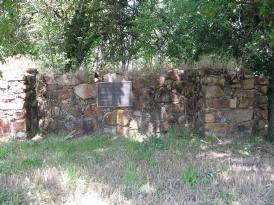
2. Foundation of Catholic Basilica Marker
Photographed by Syd Whittle, May 8, 2008
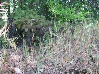
3. Foundation of Catholic Basilica
Photographed by Syd Whittle, May 8, 2008
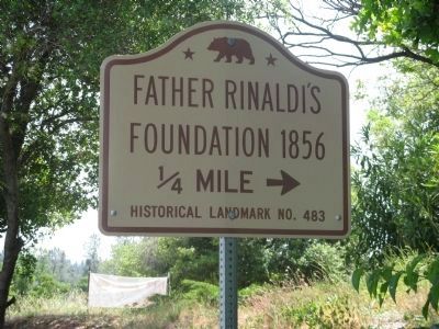
4. Foundation of Catholic Basilica State Historical Landmark Directional Sign
Credits. This page was last revised on December 16, 2019. It was originally submitted on August 15, 2008, by Syd Whittle of Mesa, Arizona. This page has been viewed 1,703 times since then and 19 times this year. Last updated on December 14, 2019, by Craig Baker of Sylmar, California. Photos: 1, 2, 3. submitted on August 15, 2008, by Syd Whittle of Mesa, Arizona. 4. submitted on December 8, 2008, by Syd Whittle of Mesa, Arizona. • J. Makali Bruton was the editor who published this page.
