Rocklin Roundhouse
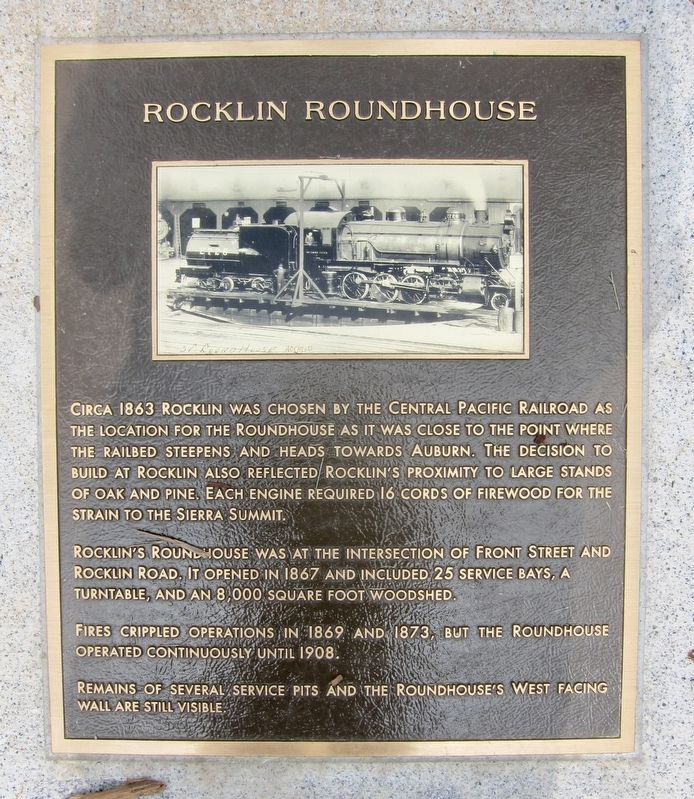
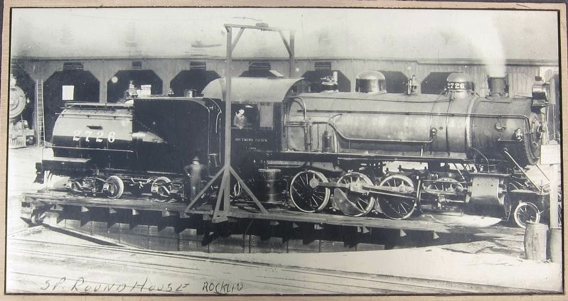
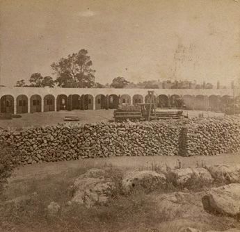
Rocklin's roundhouse was at the intersection of Front street and Rocklin Road. It opened in 1867 and included 25 service bays, a turntable, and an 8,000 square foot woodshed.
Fires crippled operations in 1869 and 1873, but the roundhouse operated continuously until 1908.
Remains of several service pits and the roundhouse's west facing
wall are still visible.
Topics. This historical marker is listed in this topic list: Railroads & Streetcars. A significant historical year for this entry is 1863.
Location. 38° 47.515′ N, 121° 14.254′ W. Marker is in Rocklin, California, in Placer County. It is at the intersection of Front Street and Rocklin Road, on the right when traveling north on Front Street. Touch for map. Marker is in this post office area: Rocklin
this page online

Regionally, this marker is in California’s Sacramento Metro. Globally, it is in North America, on the Ring of Fire, on the Pacific Rim, in the Western Hemisphere, in the Western World, and in the Anglosphere. Historically, it finds itself in what was once New Spain and also Mexico’s Alta California.
Other nearby markers. At least 8 other markers are within walking distance of this marker: Rocklin (within shouting distance of this marker); Trott Hotel (within shouting distance of this marker); Peter Hill Heritage Park (within shouting distance of this marker); Rocklin Wall of Recognition (about 300 feet away, measured in a direct line); Old Saint Mary’s Chapel (about 400 feet away); Rocklin's Roundhouse (about 400 feet away); Barudoni Building (about 400 feet away); Rocklin's Front Street Business District (about 400 feet away). Touch for a list and map of all markers in Rocklin.
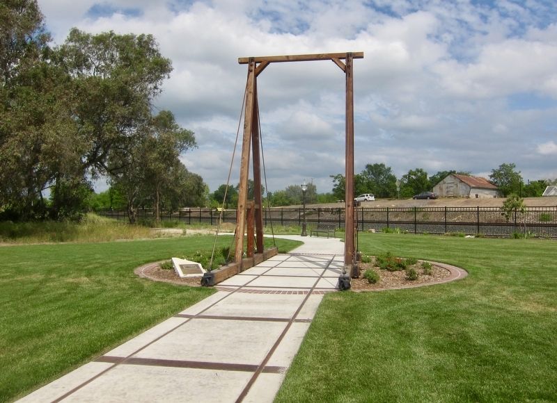
More about this marker. The marker is in Peter Hill Heritage Park.
Also see . . . Rocklin’s Roundhouse 1867 to 1908 (Roseville Today, August 30, 2005). (Submitted on December 16, 2019.)
Credits. This page was last revised on December 16, 2019. It was originally submitted on December 16, 2019, by Andrew Ruppenstein of Lamorinda, California. This page has been viewed 1,164 times since then and 104 times this year. Photos: 1, 2, 3, 4. submitted on December 16, 2019, by Andrew Ruppenstein of Lamorinda, California.
