Lafayette in Contra Costa County, California — The American West (Pacific Coastal)
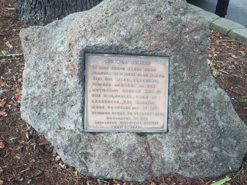
Deodar Cedars
Erected 1973 by Lafayette Historical Society.
Topics. This historical marker is listed in these topic lists: Churches & Religion • Industry & Commerce.
Location. 37° 53.39′ N, 122° 7.116′ W. Marker is in Lafayette, California, in Contra Costa County. Marker is on Moraga Road, on the right when traveling south. Touch for map. Marker is at or near this postal address: 955 Moraga Road, Lafayette CA 94549, United States of America. Touch for directions.
Other nearby markers. At least 8 other markers are within walking distance of this marker. Lafayette Grammar School (a few steps from this marker); Elam and Margaret Brown Home-Site (about 600 feet away, measured in a direct line); Pioneer Store (about 700 feet away); Geils Building (about 700 feet away); Way Side Inn (about 700 feet away); Dedicated to the Pony Express (about 700 feet away); Lafayette Town Hall (about 700 feet away); Lafayette House (about 800 feet away). Touch for a list and map of all markers in Lafayette.
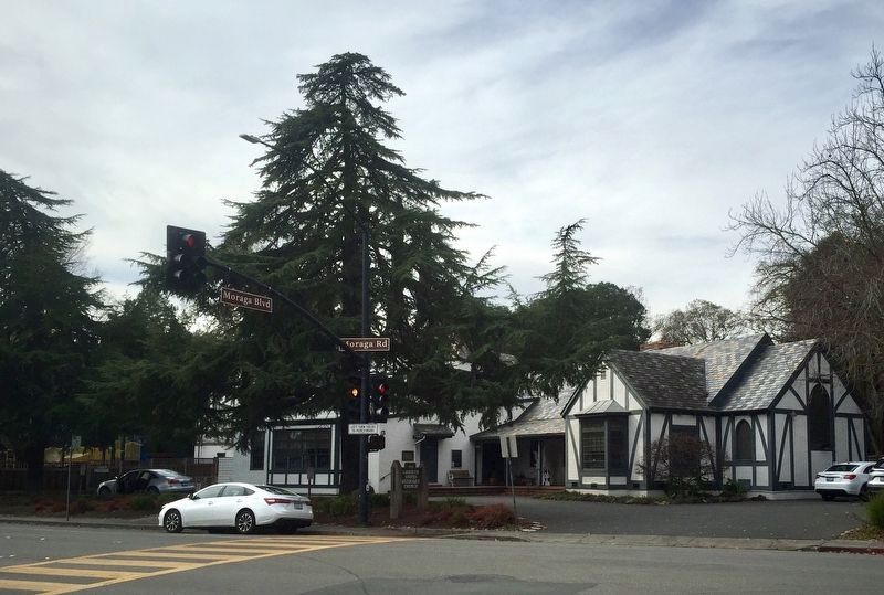
More about this marker. The marker is mounted to a low rock under the cedar tree in front of the Lafayette United Methodist Church.
Credits. This page was last revised on December 17, 2019. It was originally submitted on December 17, 2019, by Andrew Ruppenstein of Lamorinda, California. This page has been viewed 160 times since then and 10 times this year. Photos: 1, 2. submitted on December 17, 2019, by Andrew Ruppenstein of Lamorinda, California.

