Geyser in Judith Basin County, Montana — The American West (Mountains)
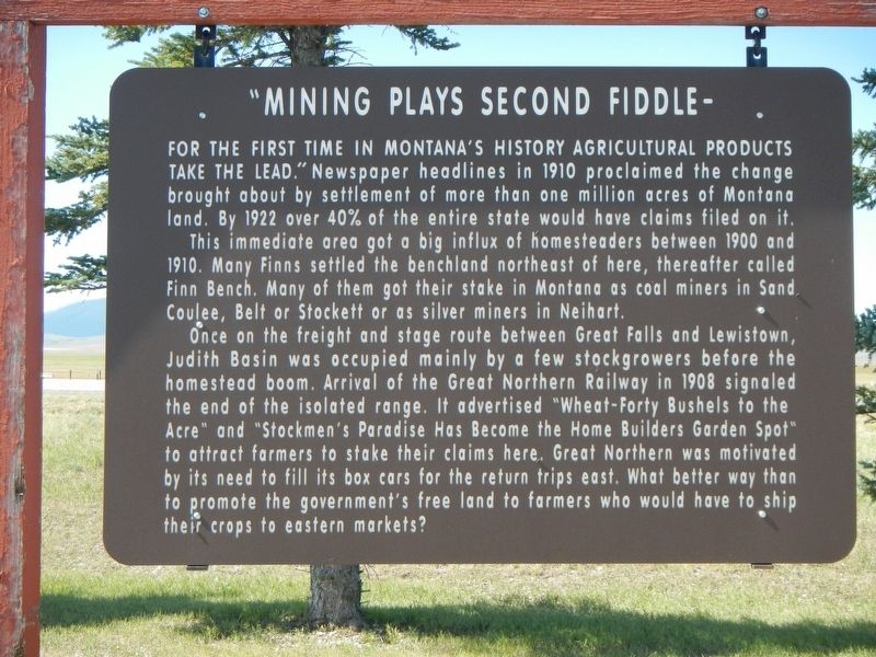
"Mining Plays Second Fiddle -
Photographed by Barry Swackhamer, August 18, 2019
1. "Mining Plays Second Fiddle - Marker
For The First Time In Montana's History Agricultural Products Take The Lead." Newspaper headlines in 1910 proclaim the change brought about by settlement of more than one million acres of Montana land. By 1922 over 40% of the entire state would have claims filed on it.
This immediate area got a big influx of homesteaders between 1900 and 1910. Many Fins settled the benchland northeast of here, thereafter called Finn Bench. Many of them got their stake in Montana as coal miners in Sand Coulee, Belt or Stockett or as silver miners in Neihart.
Once on the freight and stage route between Great Falls and Lewistown, Judith Basin was occupied mainly by a few stock growers before the homestead boom. Arrival of the Great Northern Railway in 1908 signaled the end of the isolated range. It advertised "Wheat-Forty Bushels to the Acre" and "Stockmen's Paradise Has Become the Home Builders Garden Spot" to attract farmers to stake their claims here. Great Northern was motivated by its need to fill its box cars for the return trip east. What better way than to promote the government's free land to farmers who would have to ship
this page online
Erected by Montana Department of Transportation.
Topics. This historical marker is listed in these topic lists: Agriculture • Immigration • Industry & Commerce • Natural Resources • Settlements & Settlers.
Location. 47° 13.708′ N, 110° 26.859′ W. Marker is in Geyser, Montana, in Judith Basin County. It is on U.S. 87 at milepost 24 near County Highway 129, on the right when traveling west. Touch for map. Marker is in this post office area: Geyser MT 59447, United States of America. Touch for directions.

Regionally, this marker is in andspecifically entral Montana in Russell Country. It is also in the American Mountain West and in the Lewis & Clark Corridor. Globally, it is in North America, the Western Hemisphere, the Western World, and the Anglosphere. Historically, it finds itself in what was once Rupert’s Land and also the Louisiana Purchase.
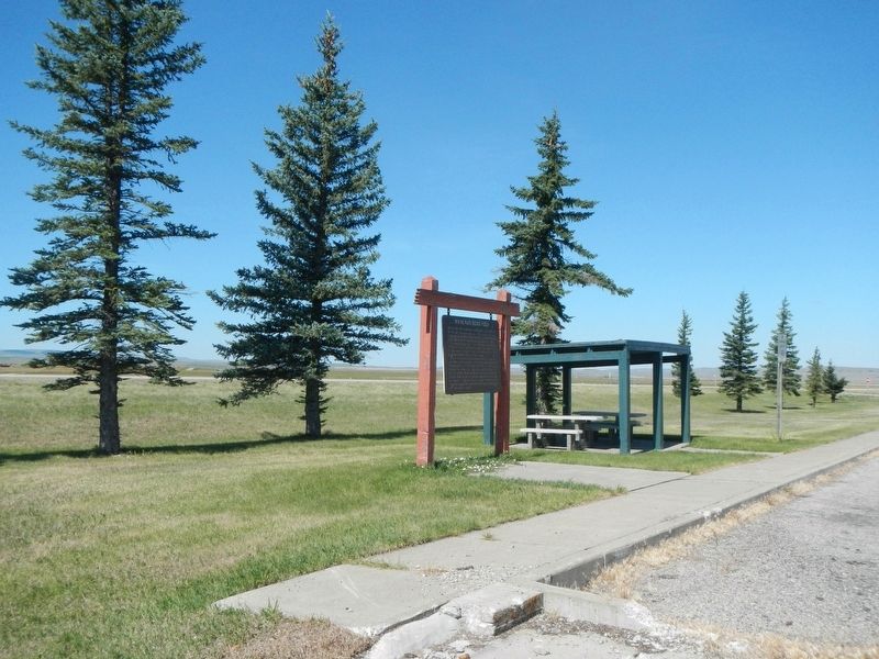
More about this marker. The marker is locate at the rest area.
Photographed by Barry Swackhamer, August 18, 2019
2. "Mining Plays Second Fiddle - Marker
Credits. This page was last revised on December 27, 2024. It was originally submitted on December 18, 2019, by Barry Swackhamer of Brentwood, California. This page has been viewed 952 times since then and 93 times this year. Photos: 1, 2. submitted on December 18, 2019, by Barry Swackhamer of Brentwood, California.
