Marker Logo
THE HISTORICAL
MARKER DATABASE
“Bite-Size Bits of Local, National, and Global History”
Belt in Cascade County, Montana — The American West (Mountains)
 

Belt Commercial Historic District
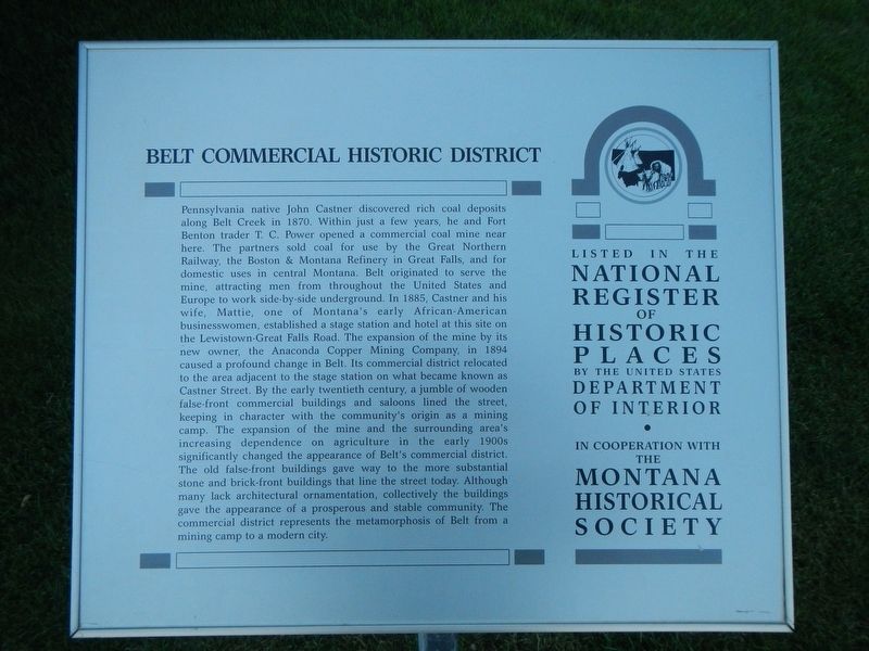
 
 
Belt Commercial Historic District Marker image. Click for full size.
Photographed by Barry Swackhamer, August 18, 2019
1. Belt Commercial Historic District Marker
Inscription. Pennsylvania native John Castner discovered rich coal deposits along Belt Creek in 1870. Within just a few years, he and Fort Benton trader T.C. Power opened a commercial coal mine near here. The partners sold coal for use by the Great Northern Railway, the Boston and Montana Refinery in Great Falls and for domestic use in central Montana. Belt, originated to serve the mine, attracting men from throughout the United States and Europe to work side-by-side underground. In 1885, Castner and his wife, Mattie, one of Montana's early African-American businesswomen, established a stage station and hotel at this site on the Lewistown-Great Falls Road. The expansion of the mine by its new owner, the Anaconda Copper Mining Company, in 1894 caused a profound change in Belt. Its commercial district relocated to the area adjacent to the stage station on what became known as Castner Street. By the early twentieth century, a jumble of wooden false-front commercial buildings and saloons lined the street, keeping in character with the community's origin as a mining camp. The expansion of the mine and the surrounding area's increasing dependence
Paid Advertisement
Click or scan to see
this page online
on agriculture in the early 1900s significantly changed the appearance of Belt's commercial district. The old false-front buildings gave way to the more substantial stone and brick-front buildings that line the street today. Although many lack architectural ornamentation, collectively the buildings gave the appearance of a prosperous and stable community. The commercial district represents the metamorphosis of Belt from a mining camp to a modern city.
 
Erected by The Montana National Register Sign Program.
 
Topics and series. This historical marker is listed in these topic lists: Industry & CommerceSettlements & Settlers. In addition, it is included in the Montana National Register Sign Program series list.
 
Location. 47° 23.259′ N, 110° 55.651′ W. Marker is in Belt, Montana, in Cascade County. It is on Castner Street (State Road 331) near Bridge Street, on the right when traveling north. Touch for map. Marker is at or near this postal address: 75 Castner Street, Belt MT 59412, United States of America. Touch for directions.

Regionally, this marker is in andspecifically
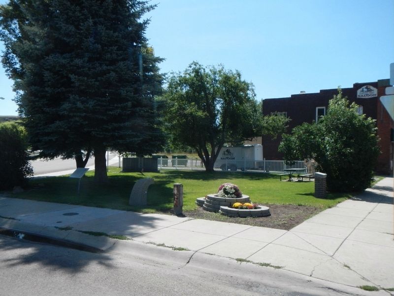
Belt Commercial Historic District Marker image. Click for full size.
Photographed by Barry Swackhamer, August 18, 2019
2. Belt Commercial Historic District Marker
The marker is beneath the tree on the left.
entral Montana in Russell Country. It is also in the American Mountain West and in the Lewis & Clark Corridor. Globally, it is in North America, the Rocky Mountains, the Western Hemisphere, the Western World, and the Anglosphere. Historically, it finds itself in what was once Rupert’s Land and also the Louisiana Purchase.

Other nearby markers. At least 8 other markers are within 16 miles of this marker, measured as the crow flies: "East Belt" Ventilation Fan (a few steps from this marker); Oriental Saloon (about 300 feet away, measured in a direct line); Belt Jail (about 600 feet away); Mountains, Belt Butte, and the Great Falls Coal Field (approx. 3 miles away); Steamboats, Bull Whackers, and Fish Trains (approx. 12.2 miles away); Land of Many Uses / Sulphur Springs Hiking Trail / Lewis and Clark Reach the Rapids (approx. 14.9 miles away); Flowing Free for Miles (approx. 15 miles away); Lewis and Clark Passed Here (approx. 15.3 miles away). Touch for a list and map of all markers in Belt.
 
More about this marker. The marker is in The Little Park.
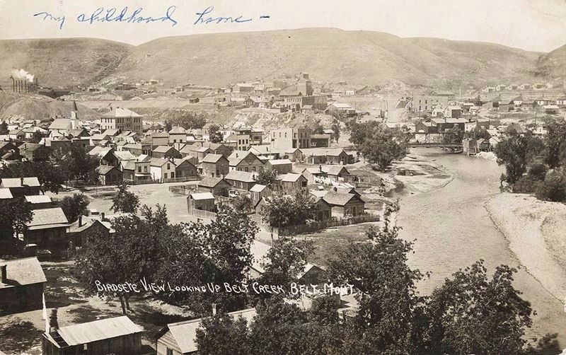
 
"Birdseye View Looking Up Belt Creek, Belt Mont" image. Click for full size.
Photographed by Montana National Register Sign Program
3. "Birdseye View Looking Up Belt Creek, Belt Mont"
 
 
Credits. This page was last revised on December 22, 2019. It was originally submitted on December 18, 2019, by Barry Swackhamer of Brentwood, California. This page has been viewed 362 times since then and 19 times this year. Photos:   1, 2, 3. submitted on December 18, 2019, by Barry Swackhamer of Brentwood, California.

m=143650

CeraNet Cloud Computing sponsors the Historical Marker Database.
This website earns income from purchases you make after using our links to Amazon.com. We appreciate your support.
Paid Advertisement
Aug. 1, 2026