Great Falls in Cascade County, Montana — The American West (Mountains)
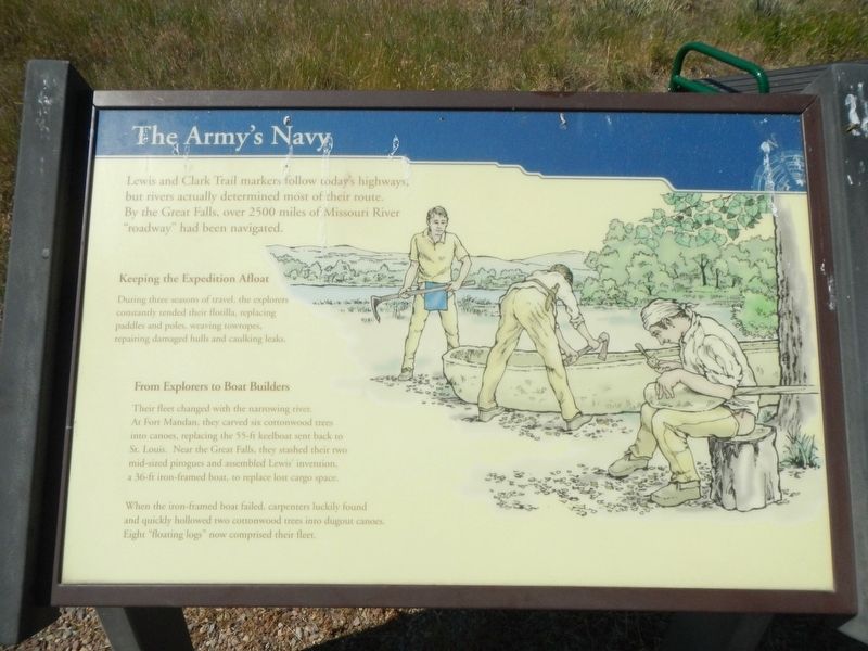
The Army's Navy
Keeping the Expedition Afloat
During three seasons of travel, the explorers constantly tended their flotilla, replacing paddles and poles, weaving towropes, repairing damaged hulls and caulking leaks.
From Explorers to Boat Builders
Their fleet changed with the narrowing river. At Fort Mandan, they carved six cottonwood trees into canoes, replacing the 55-ft keelboat sent back to St. Louis. Near the Great Falls, they stashed their two mid-sized pirogues and assembled Lewis' invention, a 36-ft iron-framed boat, to replace the lost cargo space.
When the iron-framed boat failed, carpenters luckily found and quickly hollowed two cottonwood trees into dugout canoes. Eight "floating logs" now comprised their fleet.
Erected by Lewis & Clark Interpretive Center.
Topics. This historical marker is listed in these topic lists: Exploration • Waterways & Vessels.
Location. 47° 31.82′ N, 111° 14.079′ W. Marker is in Great Falls, Montana, in Cascade County. Marker can be reached from Giant Springs Road near River Drive North. Touch for map. Marker is at or near this postal address: 4201 Giant Springs Road, Great Falls MT 59405, United States of America. Touch for directions.
Other nearby markers. At least 8 other markers are within walking distance of this marker. A "great" Set of Falls (within shouting distance of this marker); Seaman: Companion to the Corps (about 400 feet away, measured in a direct line); The Experiment (about 400 feet away); One of Many Firsts (about 600 feet away); Mobile Villages (about 700 feet away); Of Special Concern (approx. 0.2 miles away); Giant Fountain (approx. 0.3 miles away); Pure Springs Along the Missouri River (approx. 0.4 miles away). Touch for a list and map of all markers in Great Falls.
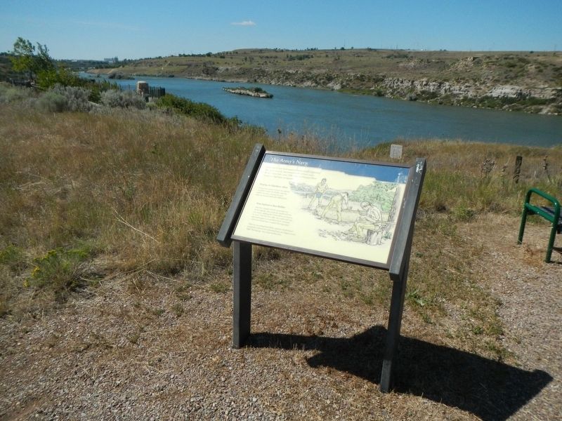
More about this marker. The marker is located near the Lewis and Clark Interpretive Center.
Credits. This page was last revised on December 19, 2019. It was originally submitted on December 19, 2019, by Barry Swackhamer of Brentwood, California. This page has been viewed 133 times since then and 13 times this year. Photos: 1, 2. submitted on December 19, 2019, by Barry Swackhamer of Brentwood, California.

