Cordell in Washita County, Oklahoma — The American South (West South Central)
Coming of the White Man
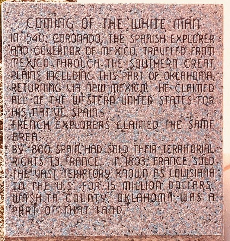
Photographed by Jerome W Walker, November 9, 2019
1. Coming of the White Man Marker text
In 1540, Coronado, the Spanish explorer and governor of Mexico, traveled from Mexico through the southern Great Plains, including this part of Oklahoma, returning via New Mexico. He claimed all of the western United States for his native Spain.
French explorers claimed the same area.
By 1800 Spain had sold their territorial rights to France. In 1803 France sold the vast territory known as Louisiana to the U.S. for 15 million dollars. Washita County, Oklahoma, was a part of that land.
Topics. This historical marker is listed in this topic list: Exploration.
Location. 35° 17.473′ N, 98° 59.363′ W. Marker is in Cordell, Oklahoma, in Washita County. It is at the intersection of Main Street and Market Street, in the median on Main Street. The marker is on the east side of the Washita County Courthouse grounds, just to the north of the steps. Touch for map. Marker is at or near this postal address: 111 East Main Street, Cordell OK 73632, United States of America. Touch for directions.

Regionally, this marker is in the Kiowa Tribe and in Southwest Oklahoma. It is also in
this page online
Other nearby markers. At least 8 other markers are within 9 miles of this marker, measured as the crow flies: Washita County (a few steps from this marker); Coming of the Indians (a few steps from this marker); Flame of Freedom (within shouting distance of this marker); Washita County Courthouse (within shouting distance of this marker); Cordell Academy (approx. ¼ mile away); Cordell, Okla. (approx. ¼ mile away); Red Bluff Community Church and School (approx. 5.2 miles away); Tacola/Cloud Chief School (approx. 8.7 miles away). Touch for a list and map of all markers in Cordell.
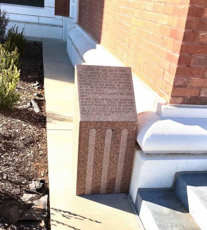
Photographed by Jerome W Walker, November 9, 2019
2. Coming of the White Man Marker
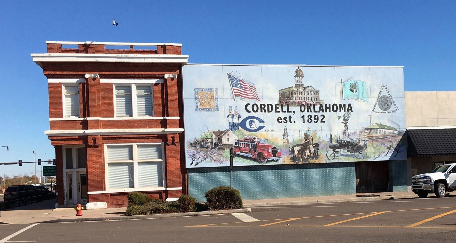
Photographed by Jerome W Walker, November 9, 2019
3. Cordell Mural
Credits. This page was last revised on February 16, 2021. It was originally submitted on December 22, 2019, by Jerome Walker of Moore, Oklahoma. This page has been viewed 314 times since then and 15 times this year. Photos: 1, 2, 3. submitted on December 22, 2019, by Jerome Walker of Moore, Oklahoma. • J. Makali Bruton was the editor who published this page.
