Mill Creek Bridge
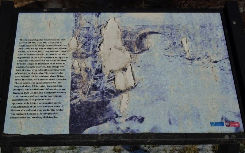
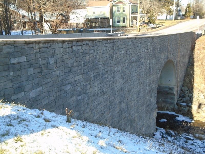
The National Register-listed structure that carried SR 0191 over Mill Creek was a single-arch stone bridge, constructed in 1873. Mill Creek Bridge was an important element within the Lower Mill Creek Historic District, since its construction in 1873 reinforced the importance of the Newfoundland Turnpike as a regional transportation route and ensured both the Haag and Robacker mills access to customers and to markets. The bridge was built of stone, with sidewalls and wing walls of course rubble ashlar. The semicircular arch spanned 24 feet and rose about 20 feet above the creek, with dressed stone voussoirs. The structure was approximately 65 feet long and about 25 feet wide, including the parapets, and carried two 10-foot-wide travel lanes. In 1934-35, the mid-nineteenth-century structure was widened on the downstream (eastern) side to its present width of approximately 25 feet, occasioning partial reconstruction of the arch and relocation of the east sidewall and wing walls. The bridge was replaced because of severe physical deterioration and roadway deficiencies.
Erected by Pennsylvania Dept of Transportation and the Louis Berger Group.
Topics. This historical marker is listed in these topic lists: Bridges & Viaducts • Man-Made Features.
Location.
Other nearby markers. At least 8 other markers are within 7 miles of this marker, measured as the crow flies. Rotary Club of Newfoundland (approx. 1.6 miles away); War Memorial (approx. 1.6 miles away); The Lacawac Sanctuary (approx. 6˝ miles away); Louis Arthur Watres (approx. 6.6 miles away); Connell Park (approx. 6.6 miles away); The Deagan Chimes (approx. 6.6 miles away); Welcome to Historic Connell Park (approx. 6.6 miles away); The Ice House / The Woodshed (approx. 6.6 miles away).
Credits. This page was last revised on December 22, 2019. It was originally submitted on December 22, 2019, by William Fischer, Jr. of Scranton, Pennsylvania. This page has been viewed 318 times since then and 31 times this year. Photos: 1, 2, 3. submitted on December 22, 2019, by William Fischer, Jr. of Scranton, Pennsylvania.


