Near Tahoe City in Placer County, California — The American West (Pacific Coastal)
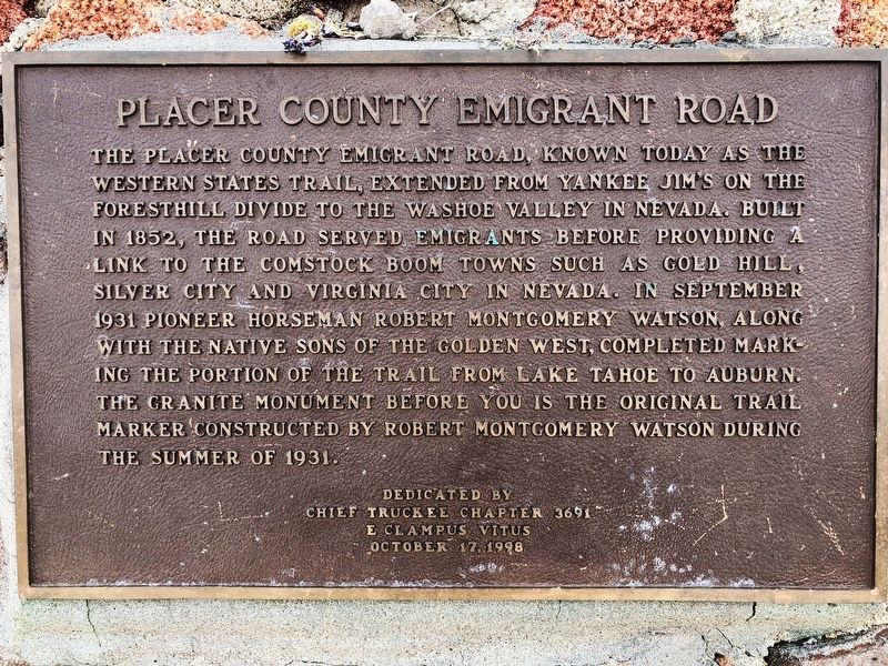
Placer County Emigrant Road
Erected 1998 by E Clampus Vitus, Chief Truckee Chapter 3691.
Topics and series. This historical marker is listed in this topic list: Roads & Vehicles. In addition, it is included in the E Clampus Vitus series list. A significant historical year for this entry is 1931.
Location. 39° 11.399′ N, 120° 16.531′ W. Marker is near Tahoe City, California, in Placer County. West side of Squaw Valley Ski Resort on the edge of Granite Chief Wilderness. Touch for map. Marker is in this post office area: Olympic Valley CA 96146, United States of America. Touch for directions.
Other nearby markers. At least 8 other markers are within 8 miles of this marker, measured as the crow flies. Pioneer Ski Area of America (approx. 2.2 miles away); Lake Tahoe Railway and Transportation Co. (approx. 4.3 miles away); Allexey W Von Schmidt (approx. 4.3 miles away); Roads and Bridges (approx. 7.2 miles away); Conflict Over Water (approx. 7.2 miles away); The Gatekeeper’s Cabin and Museum (approx. 7.2 miles away); A Tradition of Basketmaking (approx. 7.2 miles away); The Sacred Lake (approx. 7.2 miles away). Touch for a list and map of all markers in Tahoe City.
Regarding Placer County Emigrant Road. Robert M. Watson: Tahoe City Lawman
By Mark McLaughlin - May 24, 2017 https://thetahoeweekly.com/2017/05/33548/
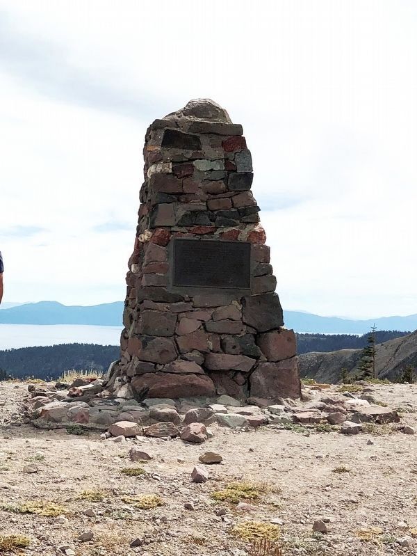
In 1930, less than two years before he died, Watson constructed a granite monument near Emigrant Pass, a piece of history that still stands. Incredibly, Watson’s homemade commemorative marker, dedicated “to pioneers and men who served their country in wars and settling the country” at an elevation of 8,774 feet has withstood 87 winters at the top of Squaw Valley. Today, the Emigrant Road is now part of the 100-mile Western States Trail Race, an internationally renowned ultra-marathon endurance race for equestrians and runners.
Credits. This page was last revised on December 23, 2019. It was originally submitted on December 22, 2019, by Kristy T of Sacramento, California. This page has been viewed 526 times since then and 38 times this year. Photos: 1. submitted on December 22, 2019, by Kristy T of Sacramento, California. 2. submitted on December 23, 2019, by Kristy T of Sacramento, California. • Syd Whittle was the editor who published this page.

