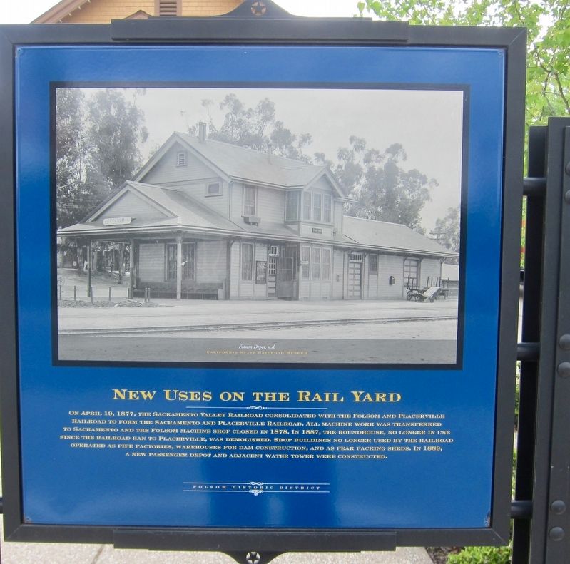
New Uses on the Rail Yard
Folsom Historic District
(Other side of marker)
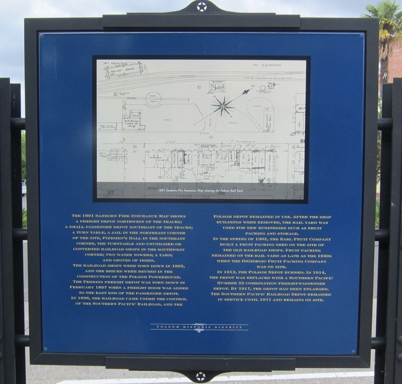
The 1891 Sanborn fire insurance map shows a freight depot northwest of the tracks; a small passenger depot southeast of the tracks; a turn table, a jail in the northeast corner of the site, firemen's hall in the southeast corner, the turntable and unutilized or converted railroad shops in the southwest corner; two water towers; a yard; and groves of trees.
The railroad shops were torn down in 1895, and the bricks were reused in the construction of the folsom powerhouse. The Perkins freight depot was torn down in February 1897 when a freight
this page online
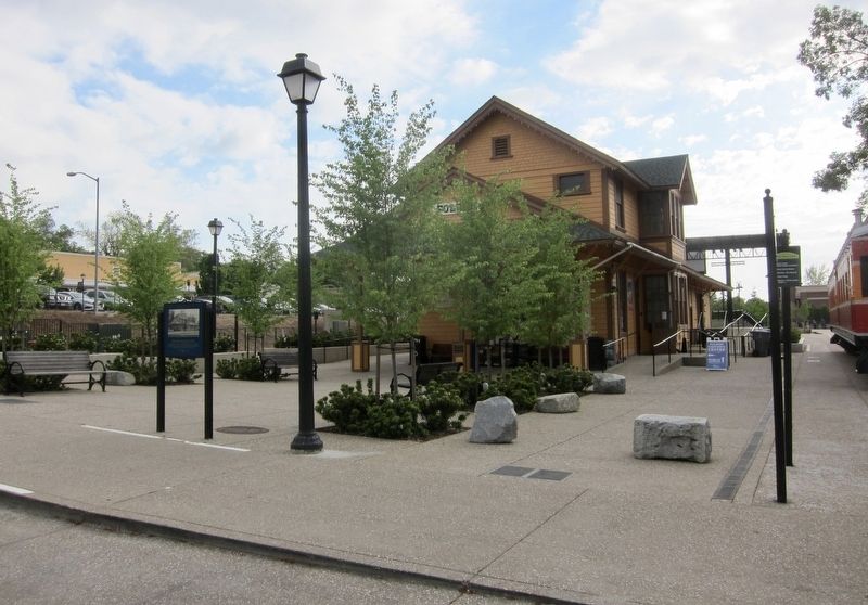
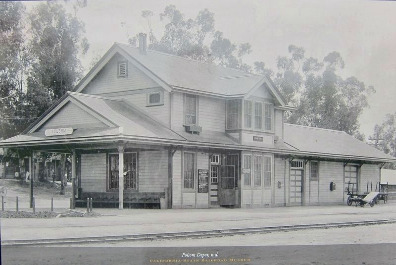
In 1913, the Folsom depot burned. In 1914, the depot was replaced with a Southern Pacific Number 22 combination freight-passenger depot. By 1917, the depot had been enlarged. The Southern Pacific railroad depot remained in service until 1971 and remains on site.
Topics. This historical marker is listed in these topic lists: Industry & Commerce • Railroads & Streetcars. A significant historical month for this entry is February 1897.
Location. 38° 40.643′ N, 121° 10.696′ W. Marker is in Folsom, California, in Sacramento County. It is on Wool Street. Touch for map. Marker is at or near this postal address: 200 Wool Street, Folsom CA

Regionally, this marker is in the Sacramento Valley and specifically in the Central Valley. It is also on the American Pacific Coast. Globally, it is in North America, on the Ring of Fire, on the Pacific Rim, in the Western Hemisphere, in the Western World, and in the Anglosphere. Historically, it finds itself in what was once New Spain and also Mexico’s Alta California.
Other nearby markers. At least 8 other markers are within walking distance of this marker: Ashland Station (within shouting distance of this marker); J. Clifton Toney (about 300 feet away, measured in a direct line); Turning Locomotives in Folsom (about 300 feet away); Folsom History Museum (about 300 feet away); Folsom Pony Express Terminus (about 300 feet away); Wells Fargo and Company (about 400 feet away); Sacramento Valley Railroad (about 400 feet away); Turning the Trains (about 400 feet away). Touch for a list and map of all markers in Folsom.
Another marker is no longer nearby. Folsom City (was within shouting distance of this marker but has been confirmed missing).
Also see . . . Folsom Depot (NRHP Nomination form, PDF format).
Credits. This page was last revised on December 23, 2019. It was originally submitted on December 23, 2019, by Andrew Ruppenstein of Lamorinda, California. This page has been viewed 683 times since then and 46 times this year. Photos: 1, 2, 3, 4. submitted on December 23, 2019, by Andrew Ruppenstein of Lamorinda, California.
