Brightwood in Northwest Washington in Washington, District of Columbia — The American Northeast (Mid-Atlantic)
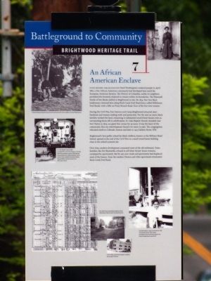
An African American Enclave
Battleground to Community
— Brightwood Heritage Trail —
Even before emancipation freed Washington's enslaved people in April 1862, a free African American community had developed here amid the European American farmers. The District of Columbia, unlike its neighbors, permitted the formerly enslaved to remain within its boundaries. The Shamwell family of free blacks settled in Brightwood in 1837. By 1854, four free black landowners clustered here along Rock Creek Ford Road (once Milkhouse Ford Road), with a fifth on Piney Branch Road. Four of the five were women.
During the Civil War, Fort Stevens and Camp Brightwood attracted more freedmen and women seeking work and protection. For the next 90 years, black families worked the land, remaining in substantial wood-framed houses even as surrounding farms fell to subdivisions. St. Luke Baptist Church, founded near Fort Totten in 1879,occupied this corner for 29 years. It was the heart of the community. But city redevelopment forced it to move in 1960. The congregation relocated south to Colorado Avenue and later 1415 Gallatin Street, NW.
Brightwood's first public school for black children, known as Military Road School, opened at the end of the Civil War in a small wood-frame building close to the school's present site.
Over time, modern development consumed most of the old settlement. Some families, like the Shamwells, refused to sell (their former house remains enveloped by apartments). But by 1931 new roads and apartments had displaced most of the houses. Soon the modern Doreen and other apartments dominated Rock Creek Ford Road.
Erected 2008 by Cultural Tourism DC. (Marker Number 7.)
Topics and series. This historical marker is listed in these topic lists: African Americans • Education • War, US Civil. In addition, it is included in the Brightwood Heritage Trail series list. A significant historical month for this entry is April 1862.
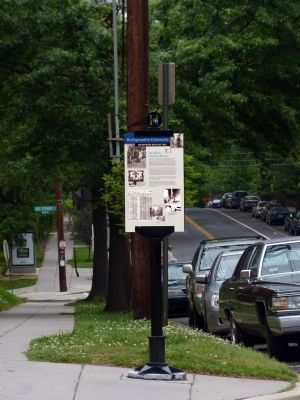
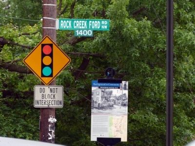
Location. 38° 57.801′ N, 77° 2.012′ W. Marker is in Northwest Washington in Washington, District of Columbia. It is in Brightwood. Marker is at the intersection of 14th Street Northwest and Rock Creek Ford Road Northwest on 14th Street Northwest. Touch for map. Marker is at or near this postal address: 6040 14th Street Northwest, Washington DC 20011, United States of America. Touch for directions.
Other nearby markers. At least 8 other markers are within walking distance of this marker. Military Road School (about 600 feet away, measured in a direct line); Early Entrepreneurs (about 700 feet away); School Days (about 700 feet away); Never Again Such Homes At the Price! (approx. 0.2 miles away); Aunt Betty's Story (approx. 0.2 miles away); Fort Stevens (approx. 0.2 miles away);
![An African American Enclave Marker [Reverse]. Click for full size. An African American Enclave Marker [Reverse] image. Click for full size.](Photos5/517/Photo517486.jpg?1223202191300AM)
Photographed By Devry Becker Jones (CC0), April 17, 2020
2. An African American Enclave Marker [Reverse]
Also see . . . Brightwood Heritage Trail. (Submitted on March 30, 2014, by Allen C. Browne of Silver Spring, Maryland.)
Credits. This page was last revised on January 30, 2023. It was originally submitted on March 30, 2014, by Allen C. Browne of Silver Spring, Maryland. This page has been viewed 877 times since then and 25 times this year. Last updated on December 24, 2019, by Bruce Guthrie of Silver Spring, Maryland. Photos: 1. submitted on March 30, 2014, by Allen C. Browne of Silver Spring, Maryland. 2. submitted on April 17, 2020, by Devry Becker Jones of Washington, District of Columbia. 3, 4. submitted on March 30, 2014, by Allen C. Browne of Silver Spring, Maryland. • Devry Becker Jones was the editor who published this page.


