Los Alamos in Santa Barbara County, California — The American West (Pacific Coastal)
The Union Hotel
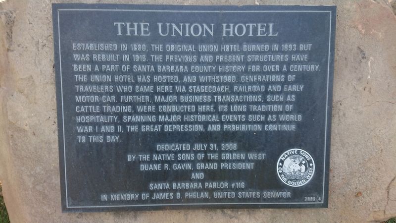
Photographed by James King, October 11, 2019
1. The Union Hotel Marker
Erected 2008 by Native Sons of the Golden West, Grand President Dwayne R. Gavin and Santa Barbara Parlor #116. (Marker Number 2008-4.)
Topics and series. This historical marker is listed in these topic lists: Industry & Commerce • Notable Buildings. In addition, it is included in the Native Sons/Daughters of the Golden West series list. A significant historical year for this entry is 1880.
Location. 34° 44.612′ N, 120° 16.809′ W. Marker is in Los Alamos, California, in Santa Barbara County. It can be reached from Bell Street (California Route 135) west of Centennial
this page online

Regionally, this marker is on the Central Coast, specifically on the Coast Ranges, and specifically in the Transverse Ranges. It is also on the American Pacific Coast. Globally, it is in North America, on the Ring of Fire, on the Pacific Rim, in the Western Hemisphere, in the Western World, and in the Anglosphere. Historically, it finds itself in what was once New Spain and also Mexico’s Alta California.
Other nearby markers. At least 8 other markers are within 11 miles of this marker, measured as the crow flies: 1880 Union Hotel (within shouting distance of this marker); The Los Alamos General Store (about 500 feet away, measured in a direct line); Chapel of San Ramon (approx. 7.6 miles away); First Successful Cement Job (approx. 7.6 miles away); La Purisima Mission
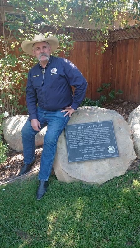
Photographed by James King, October 11, 2019
2. The Union Hotel Marker
"Took me years to find this one."
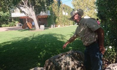
Photographed by James King, October 11, 2019
3. From Behind The Marker Looking Toward the Hotel
"It's right here!"
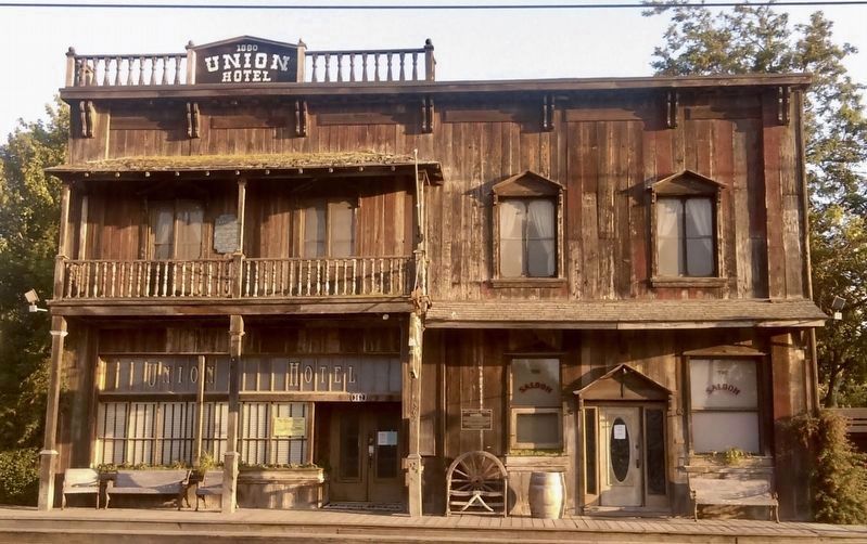
Photographed by Craig Baker, 2017
4. The Union Hotel
Credits. This page was last revised on May 20, 2020. It was originally submitted on December 28, 2019, by James King of San Miguel, California. This page has been viewed 436 times since then and 37 times this year. Photos: 1, 2, 3. submitted on December 28, 2019, by James King of San Miguel, California. 4. submitted on May 20, 2020, by Craig Baker of Sylmar, California. • Syd Whittle was the editor who published this page.
