
Near Fort McKavett in Schleicher County, Texas — The American South (West South Central)
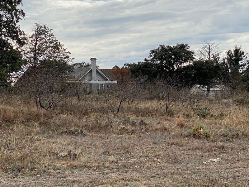
Colonel Black Ranch House
Photographed by Brian Anderson, December 28, 2019
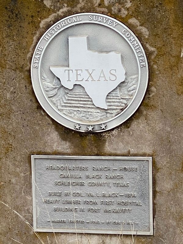
1. Colonel Black Ranch House Marker
Camilla Black Ranch
Schleicher County, Texas
Built by Col. Wm. L. Black - 1884
Heavy lumber from first hospital
building in Fort McKavett
Marker Erected - 1963 - by CBR & HLJ
Erected 1963 by State Historical Survey Committee. (Marker Number 613.)
Topics. This historical marker is listed in this topic list: Notable Buildings. A significant historical year for this entry is 1884.
Location. 30° 49.634′ N, 100° 7.938′ W. Marker is near Fort McKavett, Texas, in Schleicher County. It is on Fort McKavett Cemetery Road (County Road 245) 1.3 miles west of Ranch to Market Road 864, on the left when traveling west. Touch for map. Marker is in this post office area: Eldorado TX 76936, United States of America. Touch for directions.

Regionally, this marker is in West Texas. Globally, it is in North America, a Gulf of Mexico state, the Western Hemisphere, the Western World, and the Anglosphere. Historically, it finds itself in what was once New Spain, the Republic of Texas, and one of the Confederate States of America.
Other nearby markers. At least 5 other markers are within 2 miles
this page online
Another marker is no longer nearby. Sentry Building (was approx. 1½ miles away but has been permanently removed).
Photographed by Brian Anderson, December 28, 2019
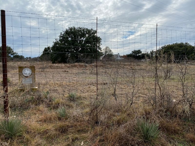
2. Colonel Black Ranch House Marker
Photographed by Brian Anderson, December 28, 2019
3. Colonel Black Ranch House
Credits. This page was last revised on November 29, 2020. It was originally submitted on December 29, 2019, by Brian Anderson of New Albany, Ohio. This page has been viewed 442 times since then and 35 times this year. Photos: 1, 2, 3. submitted on December 29, 2019, by Brian Anderson of New Albany, Ohio.
